Tubney / Tobenie / Tubbenie / Tubbeney / Tulbeny / Tybbeney
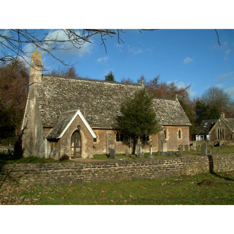
Image copyright © Colin Bates, 2006
CC-BY-SA-3.0
Results: 2 records
view of church exterior - south view
Scene Description: the modern church
Copyright Statement: Image copyright © Colin Bates, 2006
Image Source: digital phtotograph taken 20 January 2006 by Colin Bates [http://www.geograph.org.uk/photo/113774] [accessed 15 November 2011]
Copyright Instructions: CC-BY-SA-3.0
view of font and cover

Scene Description: the modern (mid-19thC) font
Copyright Statement: Image copyright © Rex Harris, 2013
Image Source: digital photograph taken 24 April 2013 by Rex Harris [www.flickr.com/photos/sheepdog_rex/8677753767/] [accessed 1 June 2015]
Copyright Instructions: PERMISSION NOT AVAILABLE -- IMAGE NOT FOR PUBLIC USE
INFORMATION
Font ID: 17730TUB
Object Type: Baptismal Font1?
Font Century and Period/Style: 12th century, Medieval
Church / Chapel Name: Parish Church of St. Laurence [aka St. Lawrence's]
Church Patron Saint(s): St. Lawrence [aka Laurence]
Church Address: Tubney, Oxfordshire, OX13 5QH
Site Location: Oxfordshire, South East, England, United Kingdom
Directions to Site: Located off the A420, 7 km NW of Abingdon
Ecclesiastic Region: Diocese of Oxford
Historical Region: Hundred of Marcham [in Domesday] -- formerly in Berkshire -- Hundred of Ock
Additional Comments: disappeared font? (was there a font in the 12thC chapel here?)
Font Notes:
Click to view
There is an entry for Tubney [variant spelling] in the Domesday survey [http://opendomesday.org/place/SU4398/tubney/] [accessed 1 June 2015], but it mentions neither cleric nor church in it. The section on new churches of The Ecclesiologist (issue of January 1846: 81-82) reports the construction of a new church in Tubney: "built here from the designs of Mr. Pugin, at the expense of S. Mary Magdalene College, Oxford", with a "font, which is very richly and beautifully carved." The Victoria County History (Berkshire, vol. 4, 1924) notes: "The chapel of Tubney is mentioned in the 12th century, [...] but no reference to the advowson has been found until 1404 [...] The font was given by Queen Adelaide in 1846." [NB: we have no information on whether or not a font existed in the medieval chapel].
COORDINATES
UTM: 30U 612523 5727801
Latitude & Longitude (Decimal): 51.689876, -1.37211
Latitude & Longitude (DMS): 51° 41′ 23.56″ N, 1° 22′ 19.6″ W
REFERENCES
- Victoria County History [online], University of London, 1993-. URL: https://www.british-history.ac.uk.