Kingston Bagpuize / Chingestune / Cingestun / Kingestun
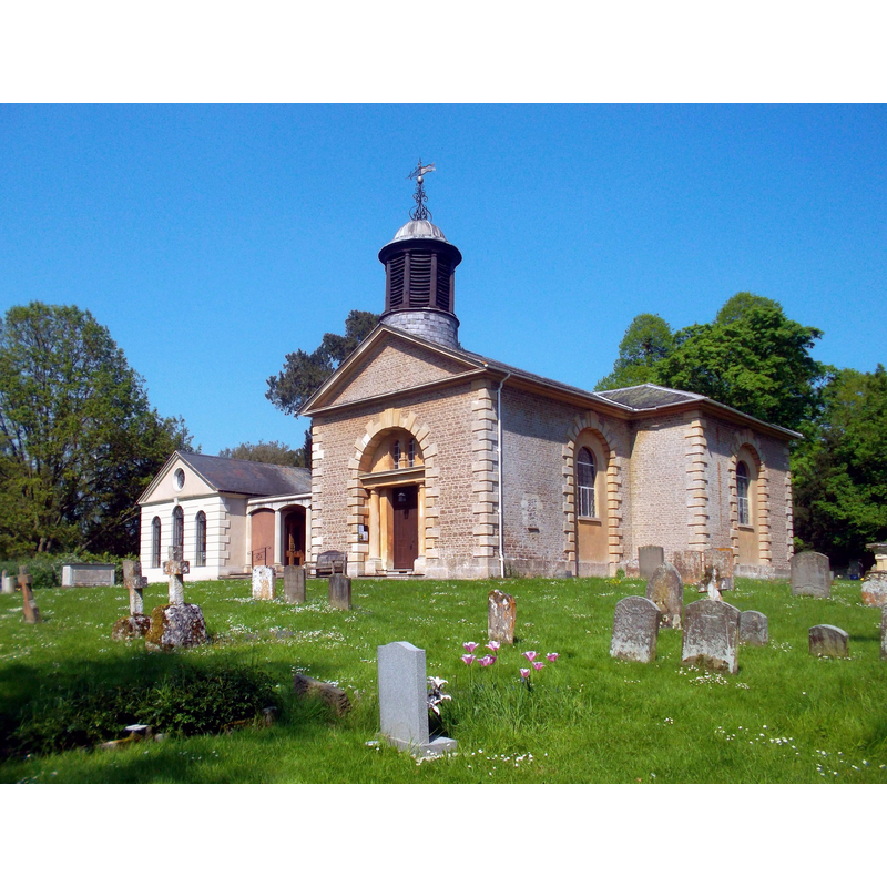
Image copyright © Des Blenkinsopp, 2012
CC-BY-SA-2.0
Results: 3 records
view of church exterior - southwest view
Scene Description: the church was re-built in 1800
Copyright Statement: Image copyright © Des Blenkinsopp, 2012
Image Source: digital photograph taken 22 May 2012 Des Blenkinsopp [www.geograph.org.uk/photo/3013693] [accessed 1 June 2015]
Copyright Instructions: CC-BY-SA-2.0
view of font and cover in context
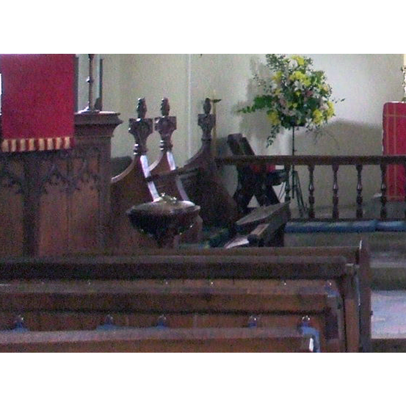
Scene Description: the modern font and cover are partially visible here, at the east end of the nave; the red cloth on the left is part of the pulpit; the red cloth on the right is part of the altar
Copyright Statement: Image copyright © Nick Macneill, 2009
Image Source: detail of a digital photograph taken 28 May 2009 by Nick Macneill [www.geograph.org.uk/photo/2116363] [accessed 1 June 2015]
Copyright Instructions: CC-BY-SA-2.0
view of church interior - nave - looking east
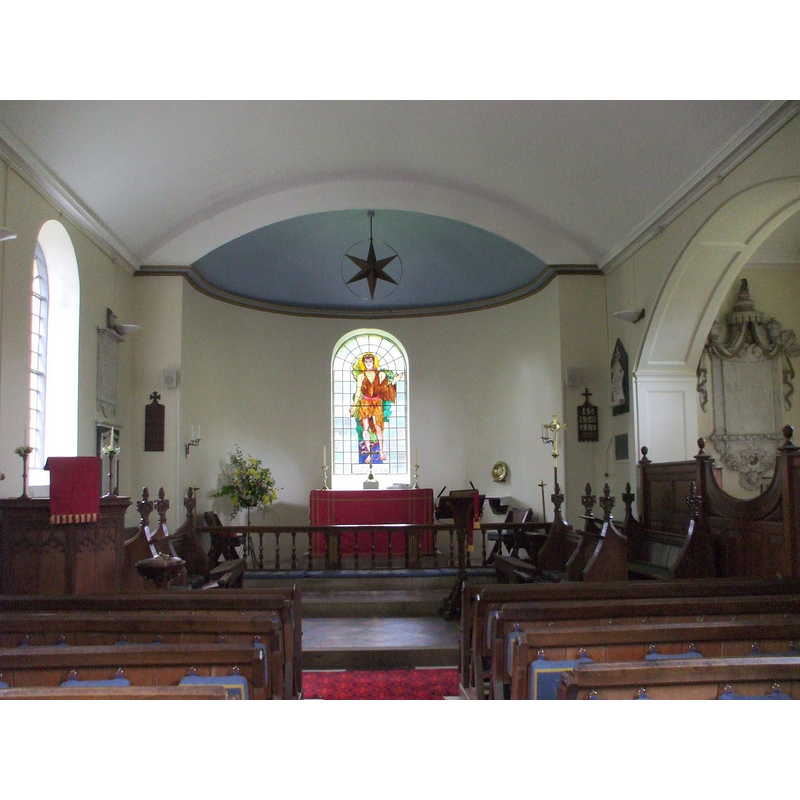
Copyright Statement: Image copyright © Nick Macneill, 2009
Image Source: digital photograph taken 28 May 2009 by Nick Macneill [www.geograph.org.uk/photo/2116363] [accessed 1 June 2015]
Copyright Instructions: CC-BY-SA-2.0
INFORMATION
Font ID: 17728KIN
Object Type: Baptismal Font1?
Font Century and Period/Style: 11th - 12th century, Norman
Church / Chapel Name: Parish Church of St. John the Baptist
Church Patron Saint(s): St. John the Baptist
Church Address: Frax Close, Kingston Bagpuize, Oxfordshire, OX13 5AY
Site Location: Oxfordshire, South East, England, United Kingdom
Directions to Site: Located on the A415, just S of the A420 crossroads, 10 km W of Abingdon
Ecclesiastic Region: Diocese of Oxford
Historical Region: Hundred of Marcham [in Domesday] -- formerly in Berkshire -- Hundred of Ock
Additional Comments: disappeared font? (the one from the original 11th-12thC church here)
Font Notes:
Click to view
There are two entries for Kingston [Bagpuize] [variant spelling] in the Domesday survey [http://opendomesday.org/place/SU4098/kingston-bagpuize/] [accessed 1 June 2015], neither of which mentions cleric or church in it. The Victoria County History (Berkshire, vol. 4, 1924) notes: "Kingston Bagpuize was originally part of Longworth (Wurtha). Adelelm de Kingston and Ralph de Bagpuize built a chapel, which with a churchyard was consecrated by Osmund Bishop of Salisbury (1078–1107) [...] The church of St. John the Baptist [...] was rebuilt in 1800, and little is known of its predecessor except that the tower was rebuilt in 1603." The first parish register reported in the VCH for this church is from 1539. The present font in this church is modern [NB: we have no information on the font from the earlier church here]
COORDINATES
UTM: 30U 609808 5726673
Latitude & Longitude (Decimal): 51.680281, -1.411728
Latitude & Longitude (DMS): 51° 40′ 49.01″ N, 1° 24′ 42.22″ W
REFERENCES
- Victoria County History [online], University of London, 1993-. URL: https://www.british-history.ac.uk.