Drayton nr. Abingdon / Drægtune / Draigtun / Draiton / Draitone / Draitune / Drettun
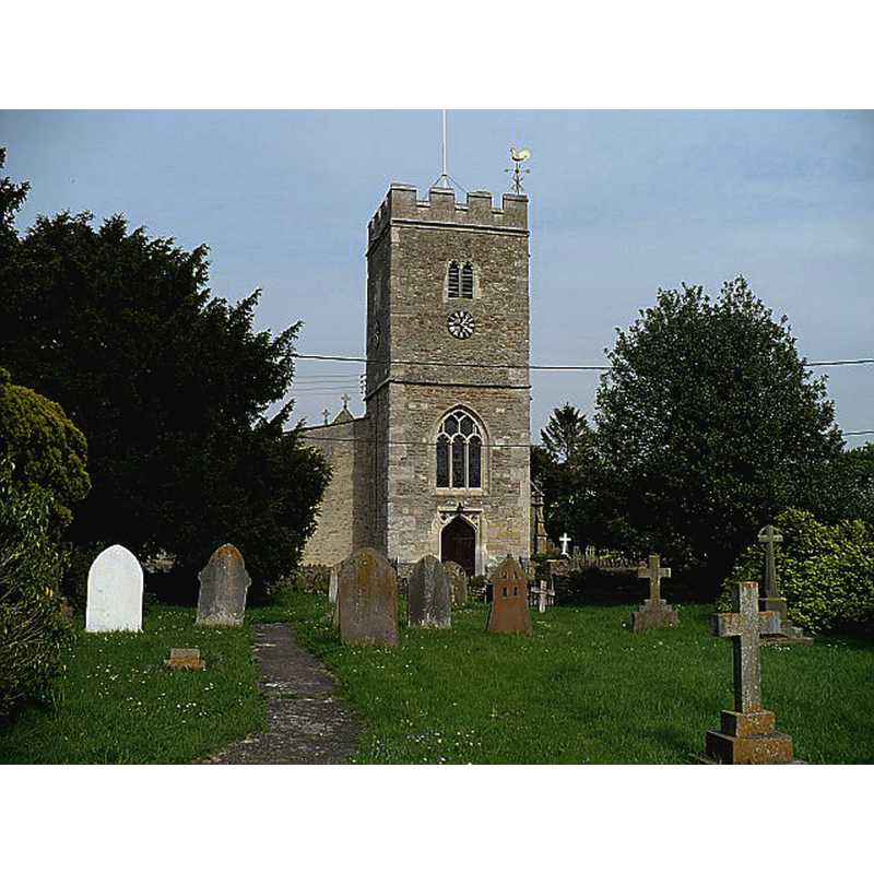
Image copyright © Robin Drayton, 2008
CC-BY-SA-2.0
Results: 3 records
view of church exterior - west view
Copyright Statement: Image copyright © Robin Drayton, 2008
Image Source: digital photograph taken 10 May 2008 by Robin Drayton [www.geograph.org.uk/photo/832979] [accessed 28 May 2015]
Copyright Instructions: CC-BY-SA-2.0
view of church exterior - southeast view
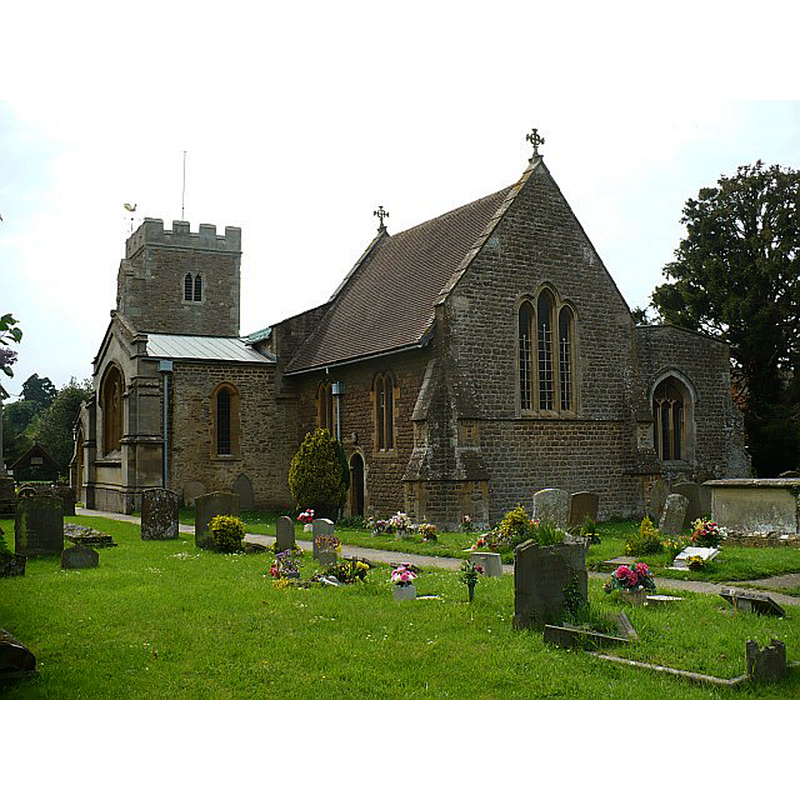
Copyright Statement: Image copyright © Robin Drayton, 2008
Image Source: digital photograph taken 10 May 2008 by Robin Drayton [www.geograph.org.uk/photo/832450] [accessed 28 May 2015]
Copyright Instructions: CC-BY-SA-2.0
view of church interior - nave - looking east
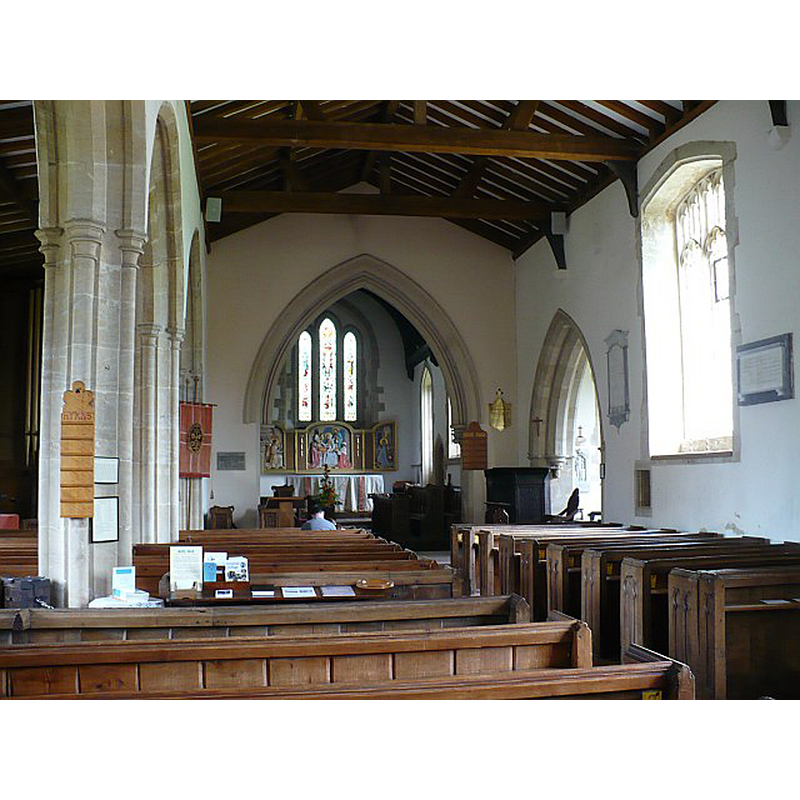
Copyright Statement: Image copyright © Robin Drayton, 2008
Image Source: digital photograph taken 10 May 2008 by Robin Drayton [www.geograph.org.uk/photo/832457] [accessed 28 May 2015]
Copyright Instructions: CC-BY-SA-2.0
INFORMATION
Font ID: 17727DRA
Object Type: Baptismal Font1
Font Century and Period/Style: 13th - 14th century [composite font?], Medieval [composite]
Church / Chapel Name: Parish Church of St. Peter
Font Location in Church: Inside the church
Church Patron Saint(s): St. Peter
Church Address: Church Road, Drayton, Oxfordshire, OX14 4JW
Site Location: Oxfordshire, South East, England, United Kingdom
Directions to Site: Located off (E) the A34, 3 km SSW of Abingdon, in the Vale of White Horse
Ecclesiastic Region: Diocese of Oxford
Historical Region: Hundred of Sutton [in Domesday] -- formerly in Berkshire -- Hundred of Ock
Additional Comments: composite font? / altered font? (the base probably later than the basin)
Font Notes:
Click to view
There are two entries for this Drayton [variant spelling] in the Domesday survey [http://opendomesday.org/place/SU4794/drayton/] [accessed 28 May 2015], neither of which mentions cleric or church in it. The Victoria County History (Berkshire, vol. 4, 1924) notes: "Mention of the chapel, which was annexed to St. Helen's, Abingdon, is found for the first time in 1284 [...] The nave, chancel and south chapel were all built in the 13th century [...] The font is circular, tub-shaped and quite plain; the moulded base is perhaps of the 14th century, restored."
COORDINATES
UTM: 30U 617291 5722865
Latitude & Longitude (Decimal): 51.644541, -1.304811
Latitude & Longitude (DMS): 51° 38′ 40.35″ N, 1° 18′ 17.32″ W
MEDIUM AND MEASUREMENTS
Material: stone
Font Shape: tub-shaped
Basin Interior Shape: round
Basin Exterior Shape: round
REFERENCES
- Victoria County History [online], University of London, 1993-. URL: https://www.british-history.ac.uk.