Topcliffe / Topeclive / Toppecliva
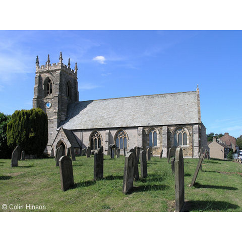
Image copyright © Colin Hinson, 2011
Standing permission
Results: 2 records
view of church exterior - south view
Copyright Statement: Image copyright © Colin Hinson, 2011
Image Source: digital photograph taken by Colin Hinson [www.genuki.org.uk/big/eng/YKS/PhotoFrames/NRY/TopcliffeStColumba_3.html] [accessed 13 November 2011]
Copyright Instructions: Standing permission
view of font and cover
![as drawn in 1773; probably destroyed in the 1855 re-building of the church [cf. FontNotes]](/static-50478a99ec6f36a15d6234548c59f63da52304e5/others/permission_not_available.jpg)
Scene Description: as drawn in 1773; probably destroyed in the 1855 re-building of the church [cf. FontNotes]
Copyright Statement: Image copyright © British Library Board, 2009
Image Source: 1773 ink-wash-on-paper drawing by Samuel Hieronymus Grimm (1733-1794) in the British Library Online Gallery [www.bl.uk/onlinegallery/onlineex/topdrawings/t/005add000015548u00089000.html] [accessed 13 November 2011]
Copyright Instructions: PERMISSION NOT AVAILABLE -- IMAGE NOT FOR PUBLIC USE
INFORMATION
Font ID: 17725TOP
Object Type: Baptismal Font1
Font Century and Period/Style: Medieval
Church / Chapel Name: Parish Church of St. Columba [aka St. Colomb's / St. Colomba's]
Font Location in Church: [cf. FontNotes]
Church Patron Saint(s): St. Columba [aka Colmcille, Colomban, Columcille]
Church Address: Church St, Topcliffe, North Yorkshire, YO7 3PA, UK
Site Location: North Yorkshire, Yorkshire and the Humber, England, United Kingdom
Directions to Site: Located off the A167, near the A168, 7 km SSW of Thirsk
Ecclesiastic Region: Diocese of York
Historical Region: Hundred of Yarlestre
Additional Comments: disappeared font? (the one from the early church here) -- destroyed font? (the octagonal one illustrated by Grimm in 1773)
Font Notes:
Click to view
There is a multiple-place entry for Topcliffe [variant spelling] in the Domesday survey [https://opendomesday.org/place/SE4076/topcliffe/] [accessed 6 December 2019]; it reports two priests, a church and "1.0 church lands" in it. There is 1773 ink-wash-on-paper drawing of this font by Samuel Hieronymus Grimm (1733-1794) in the British Library collections [Shelfmark: Additional MS 15548 - Item number: f.89]; the drawing shows a font and its cover; the font consists of an octagonal basin with plain vertical sides and a plain chamfered underbowl, raised on a plain octagonal pedestal base and a moulded lower base, also octagonal; the inner well of the basin is round. The cover is of octagonal pyramidal shape, the lower end with a crenellated crown-like base; arrises to the top and a ball or knob finial. Both of these items may have been destroyed (?) in the mid-19th century re-building of this church [cf. infra]. The entry for this parish in the Victoria County History (York North Riding, vol. 2, 1923) notes: "A church existed in Topcliffe at the time of the Domesday Survey, and it was granted by the second William de Percy to the use of the fabric of the cathedral of York. [...] There is no evidence of any building on this site earlier than the 14th century [...] In the porch are some old stones, among them the head of an ancient cross and a fragment which might be either part of a font or a mortar." The VCH (ibid.) remarks that the church was re-built in 1855; it further adds that the churches of the nearby hamlets of Baldersby, Dishforth, Marton-le-Moor and Dalton are all modern buildings. The entry for this church in Historic England [Listing NGR: SE3996576037] notes; "Church. C13 and C14, partly rebuilt in 1855"; no font mentioned in it.
COORDINATES
UTM: 30U 605143 6004603
Latitude & Longitude (Decimal): 54.1787, -1.389
Latitude & Longitude (DMS): 54° 10′ 43.32″ N, 1° 23′ 20.4″ W
MEDIUM AND MEASUREMENTS
Material: stone
Font Shape: octagonal, mounted
Basin Interior Shape: round
Basin Exterior Shape: octagonal
LID INFORMATION
Material: wood
Apparatus: no
Notes: disappeared? [cf. Fontnotes]
REFERENCES
- Victoria County History [online], University of London, 1993-. URL: https://www.british-history.ac.uk.