Wasing / Waghesing / Wakesing / Walsince / Wasinges / Wassinge / Wauesyng / Wausynge / Wawesinge
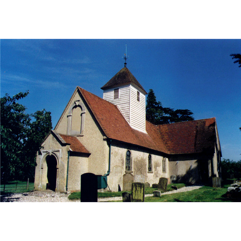
Image copyright © Michael Ford, 2003
CC-BY-SA-2.0
Results: 2 records
view of church exterior
Copyright Statement: Image copyright © Michael Ford, 2003
Image Source: photograph taken in 2003 by Michael Ford [www.geograph.org.uk/photo/1539298] [accessed 21 May 2015]
Copyright Instructions: CC-BY-SA-2.0
view of church interior - nave - looking east
![the top of the modern octagonal font is visible on the left [north] side](/static-50478a99ec6f36a15d6234548c59f63da52304e5/others/permission_not_available.jpg)
Scene Description: the top of the modern octagonal font is visible on the left [north] side
Copyright Statement: Image copyright © Wasing Estate, 2011
Image Source: digital photograph in www.wasing.co.uk [accessed 2 November 2011]
Copyright Instructions: PERMISSION NOT AVAILABLE -- IMAGE NOT FOR PUBLIC USE
INFORMATION
Font ID: 17712WAS
Object Type: Baptismal Font1?
Font Century and Period/Style: 13th century, Medieval
Church / Chapel Name: Parish Church of St. Nicholas
Church Patron Saint(s): St. Nicholas of Myra
Church Address: Wasing Park, Wasing Lane, Wasing , Berkshire, RG7 4NG
Site Location: Berkshire, South East, England, United Kingdom
Directions to Site: Located in Wasing Park, a private estate, 12 km SE of Newbury
Ecclesiastic Region: Diocese of Oxford
Historical Region: Hundred of Thatcham [in Domesday] -- Hundred of Faircross
Additional Comments: disappeared font? (the medieval font)
Font Notes:
Click to view
There is an entry for Wasing [variant spelling] in the Domesday survey [http://opendomesday.org/place/SU5764/wasing/] [accessed 21 May 2015], but it mentions neither cleric nor church in it. The Victoria County History (Berkshire, vol. 4, 1924) notes: "The first reference that we have to a church here is in 1297. [...] There is no earlier detail than the 13th-century lancet in the north wall of the chancel, which was built early in that century, though the thickness of some of the nave walling points to an earlier date. [...] The font and furniture are modern. " The present font, an octagonal basin raised on a pedestal base is located in the nave, towards the west end, north side; probably 19th-century. [NB: we have no information on the medieval font here].
COORDINATES
UTM: 30U 627120 5693093
Latitude & Longitude (Decimal): 51.37484, -1.173564
Latitude & Longitude (DMS): 51° 22′ 29.42″ N, 1° 10′ 24.83″ W
REFERENCES
- Victoria County History [online], University of London, 1993-. URL: https://www.british-history.ac.uk.