Peasemore / Pasemere / Pasmere / Paximere / Peasemore / Peasmoore / Peasmore / Pesemere / Pesmere / Pesimare / Peysmer / Praxemere
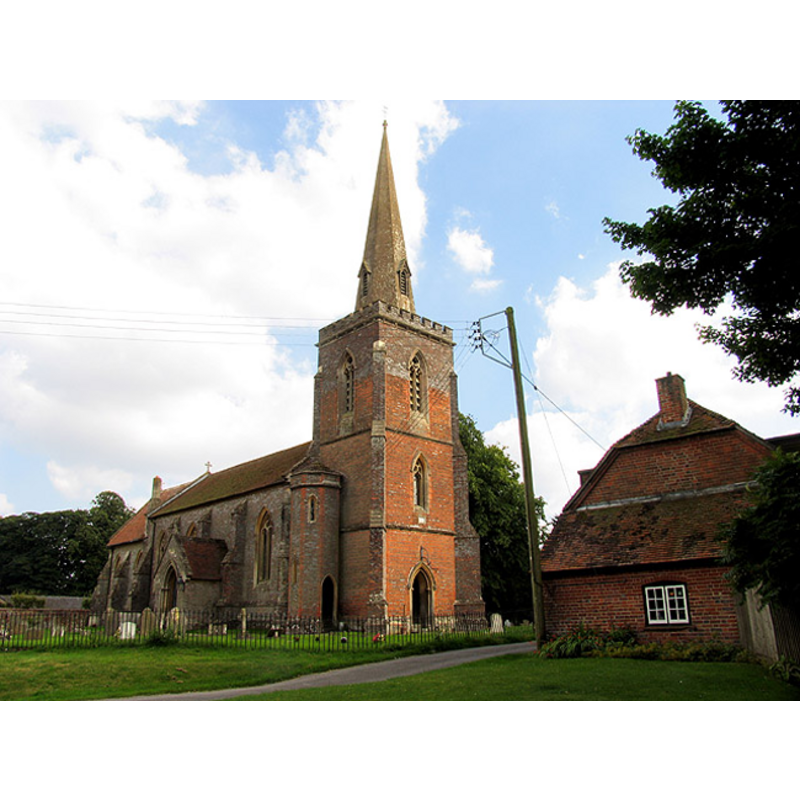
Image copyright © Pam Brophy, 2005
CC-BY-SA-3.0
Results: 1 records
view of church exterior - northwest view
Copyright Statement: Image copyright © Pam Brophy, 2005
Image Source: digital photograph taken 15 August 2005 by Pam Brophy [www.geograph.org.uk/photo/39282] [accessed 1 November 2011]
Copyright Instructions: CC-BY-SA-3.0
INFORMATION
Font ID: 17708PEA
Object Type: Baptismal Font1?
Font Century and Period/Style: 11th - 12th century, Norman
Church / Chapel Name: Parish Church of St. Barnabas [re-built church]
Church Patron Saint(s): St. Barnabas [aka Barnabus, Bernabé]
Church Address: Prince's Lane, Peasemore, Berkshire, RG20 7JQ
Site Location: Berkshire, South East, England, United Kingdom
Directions to Site: Located off (W) of the A34, N of Newbury
Ecclesiastic Region: Diocese of Oxford
Historical Region: Hundred of Faircross
Additional Comments: disappeared font?
Font Notes:
Click to view
There are three entries for Paesemore [variant spelling] in the Domesday survey [http://opendomesday.org/place/SU4577/peasemore/] [accessed 12 May 2015], neither of which mentions cleric or church in it. The Victoria County History (Berkshire, vol. 4, 1924) notes: "Peasemore was originally part of the parish of Chieveley, and between 1078 and 1097 Richard de Peasemore, who held the main manor, built a chapel with a cemetery, which was dedicated by Osmund Bishop of Salisbury. In 1104–5 it would seem that Richard desired that this should be a parish church, and he refused to pay his dues to the church of Chieveley. He was censured by the abbot, but appears to have had his way, and Peasemore has since that date been a parish [...] The church of St. Barnabas was rebuilt in 1842"; the register of baptisms starts in 1538. [NB: we have no information on the medieval font of this church].
COORDINATES
UTM: 30U 615136 5705737
Latitude & Longitude (Decimal): 51.491043, -1.341557
Latitude & Longitude (DMS): 51° 29′ 27.76″ N, 1° 20′ 29.6″ W
REFERENCES
- Victoria County History [online], University of London, 1993-. URL: https://www.british-history.ac.uk.