Hockliffe / Hocclive / Hocgganclife / Hocheleia / Hockeclyff / Hockley / Hockley in the Hole / Occliffe
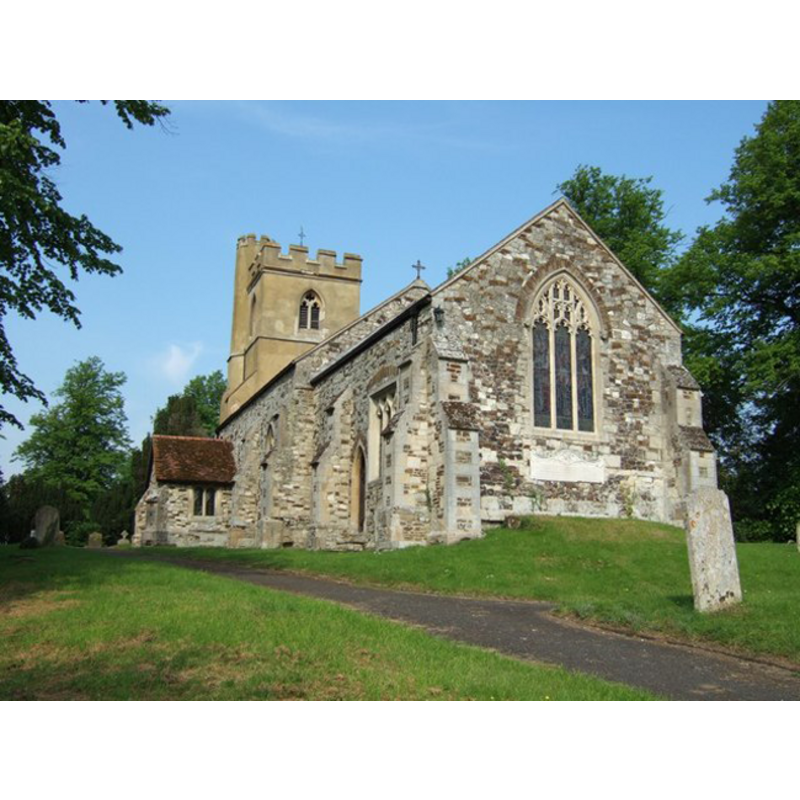
Image copyright © Rob Farrow, 2006
CC-BY-SA-3.0
Results: 1 records
view of church exterior - southeast view
Copyright Statement: Image copyright © Rob Farrow, 2006
Image Source: digital photograph taken 7 June 2006 by Rob Farrow [www.geograph.org.uk/photo/182708] [accessed 25 October 2011]
Copyright Instructions: CC-BY-SA-3.0
INFORMATION
Font ID: 17694HOC
Object Type: Baptismal Font1
Font Century and Period/Style: 13th - 14th century, Medieval
Church / Chapel Name: Parish Church of St. Nicholas
Font Location in Church: Inside the church
Church Patron Saint(s): St. Nicholas of Myra
Church Address: Church Lane, Hockliffe, Bedfordshire, LU7
Site Location: Bedfordshire, East, England, United Kingdom
Directions to Site: Located off the A4012 and the A5, 5 km NE of Leighton-Buzzard, 8 S of Woburn
Ecclesiastic Region: Diocese of St. Albans [formerly Diocese in the of Ely]
Historical Region: Hundred of Manshead
Additional Comments: altered font? Replaced font? -- emailed the Parish contact: requested image (25 oct 2011)/mt
Font Notes:
Click to view
There is an entry for Hockliffe [variant spelling] in the Domesday survey [http://opendomesday.org/place/SP9726/hockliffe/] [accessed 22 September 2015], but it mentions neither cleric nor church in it. The Victoria County History (Bedford, vol. 3, 1912) notes: "In 1291 the church was worth £8 [...] The chancel dates from the middle of the 14th century, and if the walls of the nave are of earlier date there is now nothing to show it. The tower is a 15th-century addition, and the porch is of the end of the same century [...] The font is octagonal, re-worked or modern." Not mentioned in Pevsner (1968 or 2002). The Parish web site [www.hockliffe.net/stnicholas/stnicholas.htm] [accessed 25 October 2011] states that the font is original, contemporary with the church. The font is of the type thta has a single volume, without demarkation between basin and base; it does have a plain octagonal lower base and a large plinth, also octagonal and plain.
COORDINATES
UTM: 30U 665245 5756231
Latitude & Longitude (Decimal): 51.932239, -0.59641
Latitude & Longitude (DMS): 51° 55′ 56.06″ N, 0° 35′ 47.08″ W
MEDIUM AND MEASUREMENTS
Material: stone
Font Shape: octagonal, mounted
Basin Interior Shape: round
Basin Exterior Shape: octagonal
REFERENCES
- Victoria County History [online], University of London, 1993-. URL: https://www.british-history.ac.uk.