Wilshamsted / Wilsamsted / Wilstead / Winessamestede
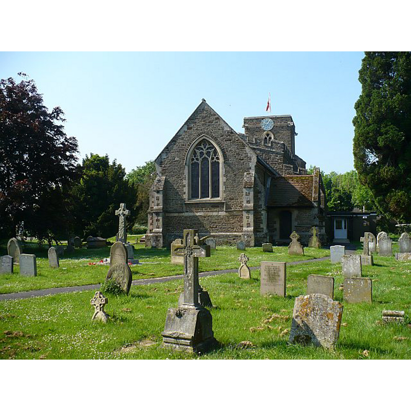
Image copyright © Robin Drayton, 2008
CC-BY-SA-2.0
Results: 2 records
view of church exterior - northeast view
Copyright Statement: Image copyright © Robin Drayton, 2008
Image Source: digital photograph taken 12 May 2008 by Robin Drayton [www.geograph.org.uk/photo/808532] [accessed 18 September 2015]
Copyright Instructions: CC-BY-SA-2.0
view of church exterior - southeast view
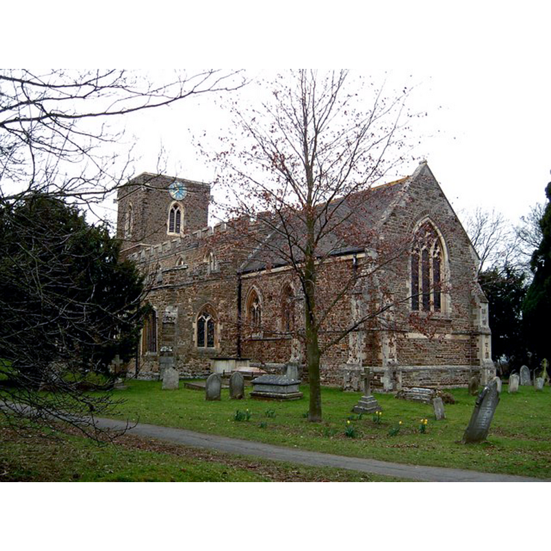
Copyright Statement: Image copyright © Rob Farrow, 2006
Image Source: digital photograph taken 13 March 2006 by Rob Farrow [www.geograph.org.uk/photo/136209] [accessed 18 September 2015]
Copyright Instructions: CC-BY-SA-2.0
INFORMATION
Font ID: 17692WIL
Object Type: Baptismal Font1?
Font Century and Period/Style: 13th century, Early English
Church / Chapel Name: Parish Church of All Saints
Church Patron Saint(s): All Saints
Church Address: Pollards Close, Wilshamstead, Bedfordshire MK45 3HH
Site Location: Bedfordshire, East, England, United Kingdom
Directions to Site: Located off the A6, 8 km S of Bedford
Ecclesiastic Region: Diocese of St. Albans
Historical Region: Hundred of Redbornestoke
Additional Comments: disappeared font? (the one from the original 13thC church here)
Font Notes:
Click to view
There is an entry for Wilshamstead [variant spelling] in the Domesday survey [http://opendomesday.org/place/TL0643/wilshamstead/] [accessed 18 September 2015], but it mentions neither cleric nor church in it]. The Victoria County History (Bedfordshire, vol. 3, 1912) notes: "The church of Wilshamstead was the property of Elstow Abbey from the 13th century till its dissolution in 1539", but adds that the earliest parts of the present church, the south arcade and the head of the south door date from ca. 1340. There is no mention of a font in the VCH entry. [NB: we have no information on the medival font here].
COORDINATES
UTM: 30U 674619 5772865
Latitude & Longitude (Decimal): 52.078784, -0.451726
Latitude & Longitude (DMS): 52° 4′ 43.62″ N, 0° 27′ 6.22″ W
REFERENCES
- Victoria County History [online], University of London, 1993-. URL: https://www.british-history.ac.uk.