Milford on Sea / Meleford / Melleford / Melneford / Milford-on-Sea / Milleford / Muleford / Nulford / Mullesford / Mulneford
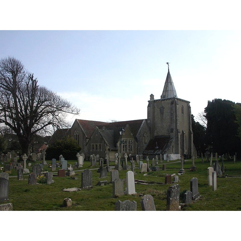
Image copyright © Mike Faherty, 2010
CC-BY-SA-2.0
Results: 2 records
view of church exterior in context - northwest view
Copyright Statement: Image copyright © Mike Faherty, 2010
Image Source: digital photograph taken 21 March 2010 by Mike Faherty [www.geograph.org.uk/photo/1763580] [accessed 13 February 2020]
Copyright Instructions: CC-BY-SA-2.0
view of church exterior in context - northeast view
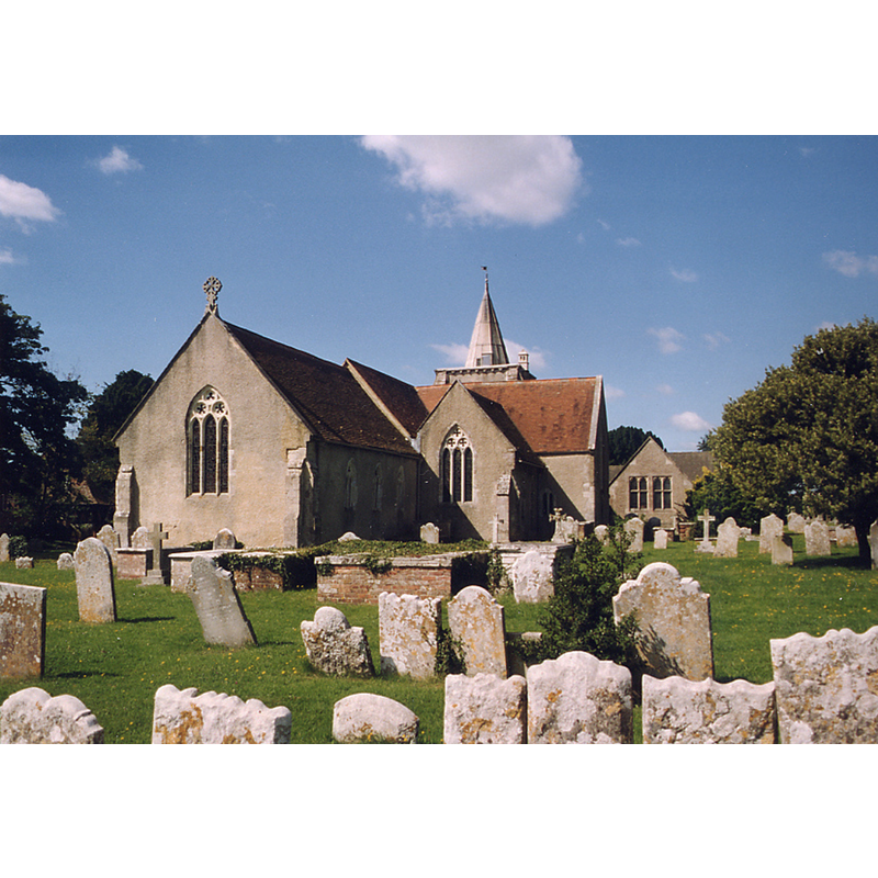
Copyright Statement: Image copyright © John Salmon, 2013
Image Source: digital image of a photograph taken 4 August 1998 by John Salmon [www.geograph.org.uk/photo/3313941] [accessed 13 February 2020]
Copyright Instructions: CC-BY-SA-2.0
INFORMATION
Font ID: 17657MIL
Object Type: Baptismal Font1?
Font Century and Period/Style: 12th century, Late Norman
Church / Chapel Name: Parish Church of All Saints
Church Patron Saint(s): All Saints
Church Address: Greenbanks Cl, Milford on Sea SO41 0SQ, UK -- Tel.: +44 1590 644992
Site Location: Hampshire, South East, England, United Kingdom
Directions to Site: Located off the B3058, 8-9 km SW of Lymington
Ecclesiastic Region: Diocese of Winchester
Historical Region: Hundred of Christchurch / Hundred of Rowditch [in Domesday]
Additional Comments: diappeared font? (the one from the 12thC(?) church here)
Font Notes:
Click to view
There are two entries for this Milford [variant spelling] in the Domesday survey [https://opendomesday.org/place/SZ2991/milford/] [accessed 13 February 2020] neither of which mentions cleric or church in it. The Victoria County History (Hampshire, vol. 5, 1912) notes: "The earliest church from which the present structure developed was probably an early 12th-century aisleless church of chancel and nave, the extent of the latter being represented by that of the three western bays of the present nave. To this church, c. 1180, a south aisle was added, narrower than the present one [...] The octagonal stone font is modern and stands at the west end of the nave." The entry for this church in Historic England [Listing NGR: SZ2908091935] notes: "most of the church is in the Early English style with some late Norman work from a preceding church" but mentions no font in it. [NB: we have no information on the medieval font of this church].
COORDINATES
UTM: 30U 599515 5620518
Latitude & Longitude (Decimal): 50.72793, -1.59
Latitude & Longitude (DMS): 50° 43′ 40.55″ N, 1° 35′ 24″ W
REFERENCES
- Victoria County History [online], University of London, 1993-. URL: https://www.british-history.ac.uk.