Hordle / Herdel / Hordall / Hordell / Hordhill / Hordill / Hordhull / Hordul / Hordwell
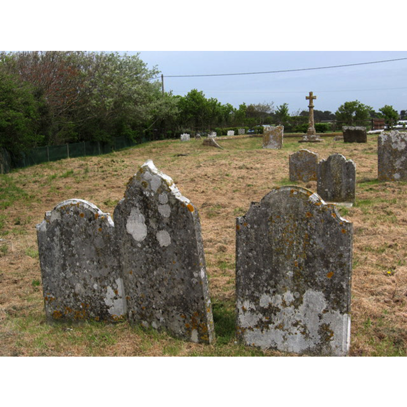
Image copyright © Stuart Buchan, 2007
CC-BY-SA-2.0
Results: 1 records
view of church exterior - churchyard, cemetery
Scene Description: the churchyard is all that remains from the old church that was demolished in 1829 -- Source caption: "The church was on this site from 1080 to 1830. It was moved two miles inland, closer to the village, when the salt industry declined (which was on the coast)."
Copyright Statement: Image copyright © Stuart Buchan, 2007
Image Source: N/Adigital photograph taken 25 April 2007 by Stuart Buchan [www.geograph.org.uk/photo/413880] [accessed 21 March 2012]
Copyright Instructions: CC-BY-SA-2.0
INFORMATION
Font ID: 17656HOR
Object Type: Baptismal Font1?
Font Century and Period/Style: 11th - 12th century, Norman
Church / Chapel Name: Old Parish Church [demolished in 1829]
Church Notes: old church demolished 1829; re-built 1830; collapsed; re-built 1872 on new site
Church Address: [NB: coordinates are for the site of the old church at Hordle Cliff]
Site Location: Hampshire, South East, England, United Kingdom
Directions to Site: The site of the old church is at Hordle Cliff, about 3 km from present Hordle, off the B3058, 1 km S of Downton. 7-8 km WSW of Lymington
Ecclesiastic Region: Diocese of Winchester
Historical Region: Hundred of Christchurch / Hundred of Rowditch [in Domesday]
Additional Comments: disappeared font? (the one from the Norman(?) church here)
Font Notes:
Click to view
There is an entry for Hordle [variant spelling] in the Domesday survey [https://opendomesday.org/place/SZ2795/hordle/] [accessed 13 February 2020] but it mentions neither cleric nor church in it. White (1878) reports a modern font in this church. "erected in memory of the late Col. Clinton, of Ashley Clinton". The Victoria County History (Hampshire, vol. 5, 1912) notes: "Hordle Church was existing in the time of the Conqueror [...] The site of the old church is at Hordle Cliff, about 2 miles to the south of the present village [... The church] was taken down in 1829." There is no mention of a font in the VCH entry for this parish [NB: we have no information on the medieval church here].
COORDINATES
UTM: 30U 597272 5620759
Latitude & Longitude (Decimal): 50.730425, -1.621781
Latitude & Longitude (DMS): 50° 43′ 49.69″ N, 1° 37′ 18.12″ W
REFERENCES
- Victoria County History [online], University of London, 1993-. URL: https://www.british-history.ac.uk.