Wonston / Wansingtone / Wenesistune / Wonsington / Wynsygestune
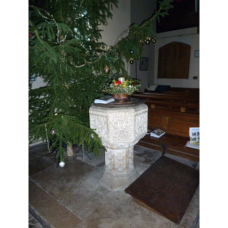
Image copyright © Basher Eyre, 2010
CC-BY-SA-2.0
Results: 6 records
view of font and cover in context
Scene Description: the modern font
Copyright Statement: Image copyright © Basher Eyre, 2010
Image Source: digital photograph taken 30 December 2010 by Basher Eyre [www.geograph.org.uk/photo/2276445] [accessed 27 July 2017]
Copyright Instructions: CC-BY-SA-2.0
view of church exterior - south view
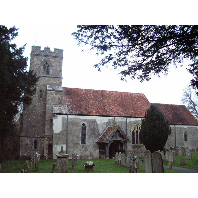
Copyright Statement: Image copyright © Alexander P Kapp, 2007
Image Source: digital photograph taken 19 February 2007 by Alexander P Kapp [www.geograph.org.uk/photo/345840] [accessed 27 July 2017]
Copyright Instructions: CC-BY-SA-2.0
view of church exterior - southeast view
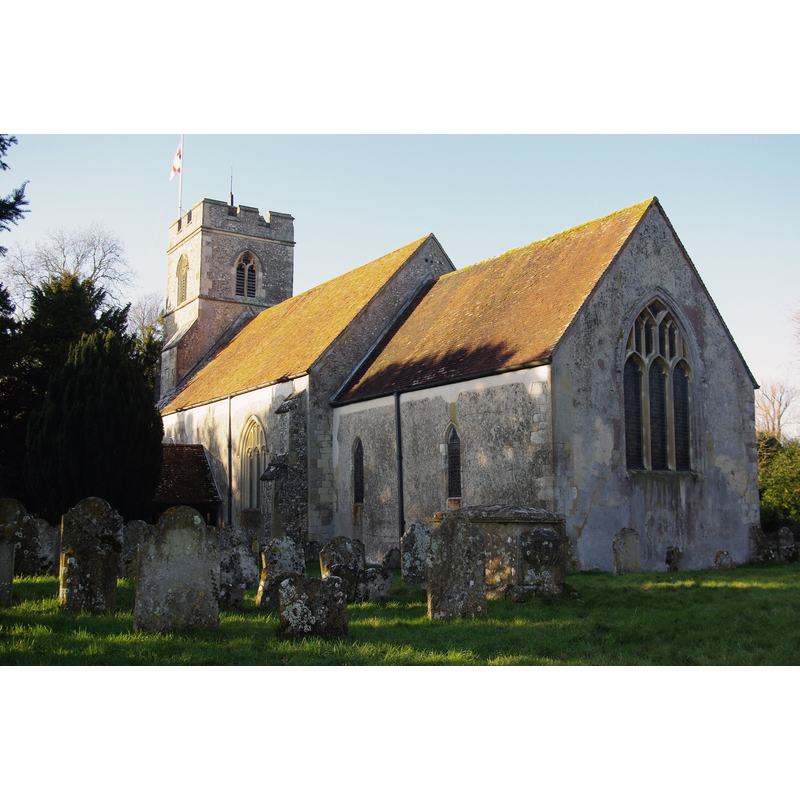
Copyright Statement: Image copyright © Andrew Mathewson, 2010
Image Source: digital photograph taken 1 January 2010 by Andrew Mathewson [www.geograph.org.uk/photo/1751262] [accessed 27 July 2017]
Copyright Instructions: CC-BY-SA-2.0
view of church interior - nave - looking west
Scene Description: with the modern font opposite the south doorway
Copyright Statement: Image copyright © Chris Talbot, 2010
Image Source: digital photograph taken 14 March 2010 by Chris Talbot [www.geograph.org.uk/photo/1770760] [accessed 27 July 2017]
Copyright Instructions: CC-BY-SA-2.0
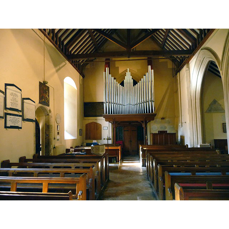
view of church interior - nave - looking east
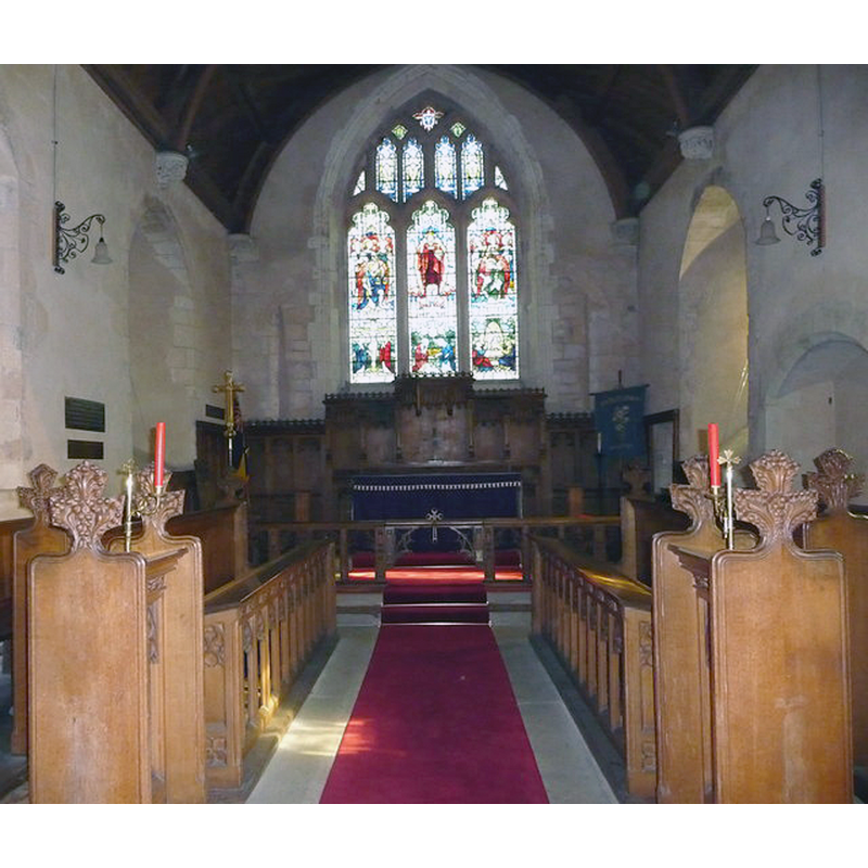
Copyright Statement: Image copyright © Chris Talbot, 2010
Image Source: digital photograph taken 14 March 2010 by Chris Talbot [www.geograph.org.uk/photo/1770774] [accessed 27 July 2017]
Copyright Instructions: CC-BY-SA-2.0
view of font and cover

Scene Description: the modern (1871) font
Copyright Statement: Image copyright © Baxian, 2011
Image Source: digital photograph in www.baxian.org.uk/images/hampshire/wonston/wonston40.jpg [accessed 31 August 2011]
Copyright Instructions: PERMISSION NOT AVAILABLE -- IMAGE NOT FOR PUBLIC USE
INFORMATION
Font ID: 17636WON
Object Type: Baptismal Font1?
Font Century and Period/Style: 10th - 11th century, Pre-Conquest
Church / Chapel Name: Parish Church of the Holy Trinity
Church Patron Saint(s): The Holy Trinity
Church Notes: church here first documented 901 in a charter of Edward the Elder
Church Address: Wonston, Hampshire, SO21 3PX, UK
Site Location: Hampshire, South East, England, United Kingdom
Directions to Site: Located off (E) the A34, between Sutton Scotney (W) and Stoke Charity (E), N of Winchester
Ecclesiastic Region: Diocese of Winchester
Historical Region: Hundred of Buddlesgate -- Hundred of Barton [in Domesday]
Additional Comments: disappeared font? (the one from the church mentioned in the Domesday survey here)
Font Notes:
Click to view
There is an entry for Wonston [variant spelling] in the Domesday survey [http://opendomesday.org/place/SU4739/wonston/] [accessed 27 July 2017]; it reports a church in it. The Victoria County History (Hampshire, vol. 3, 1908) notes: "There was a church in Wonston at the time of the Domesday Survey [1086] [...] The first book of the registers contains all entries from 1570 [...] The church was burnt in 1714, the nave being more damaged than the rest of the building, but several of the old features survived the fire, and the walls are in large measure ancient. [...] The font is modern, as are all the fittings of the church". A 17th-century (?) font discovered buried under the floorboards of this church is now in use at the Mission Church of St. Margaret, in nearby South Wonston [cf. Index entry for South Wonston]. The present "octagonal font of 1871 (by Laing) is perpendicular in style [...] with quatrefoils on the stem and thick foliage on the bowl". [NB: we have no information on the medieval font of this church].
COORDINATES
UTM: 30U 617557 5668177
Latitude & Longitude (Decimal): 51.152955, -1.319084
Latitude & Longitude (DMS): 51° 9′ 10.64″ N, 1° 19′ 8.7″ W