Sparsholt nr. Winchester / Sparshall / Speresholte / Spershott
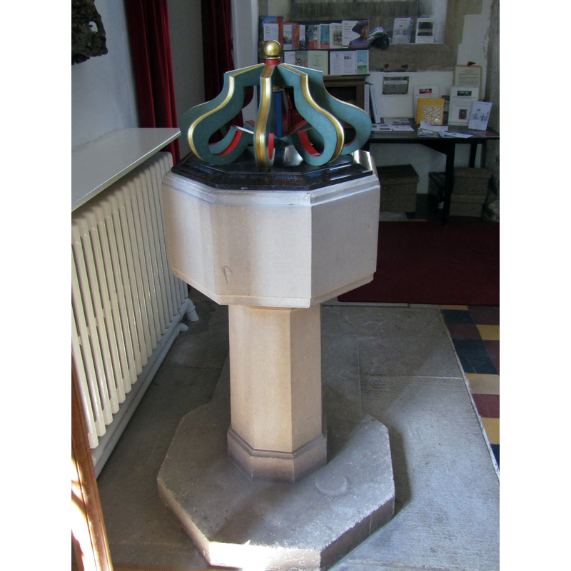
Image copyright © Colin Smith, 2018
Image and permission received from the author (e-mail of 8 December 2018)
Results: 6 records
view of font and cover
Scene Description: the 19thC font and its 20thC cover
Copyright Statement: Image copyright © Colin Smith, 2018
Image Source: digital photograph taken 10 July 2018 by Colin Smith
Copyright Instructions: Image and permission received from the author (e-mail of 8 December 2018)
view of font and cover
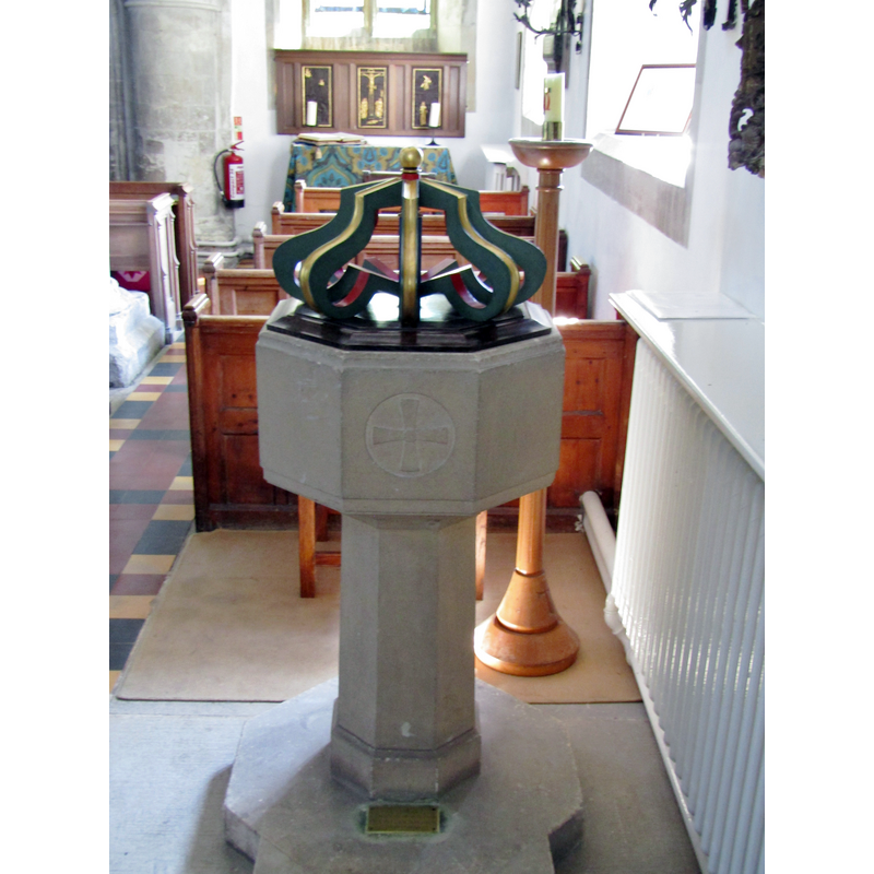
Scene Description: the 19thC font and its 20thC cover
Copyright Statement: Image copyright © Colin Smith, 2018
Image Source: digital photograph taken 10 July 2018 by Colin Smith
Copyright Instructions: Image and permission received from the author (e-mail of 8 December 2018)
view of font and cover in context
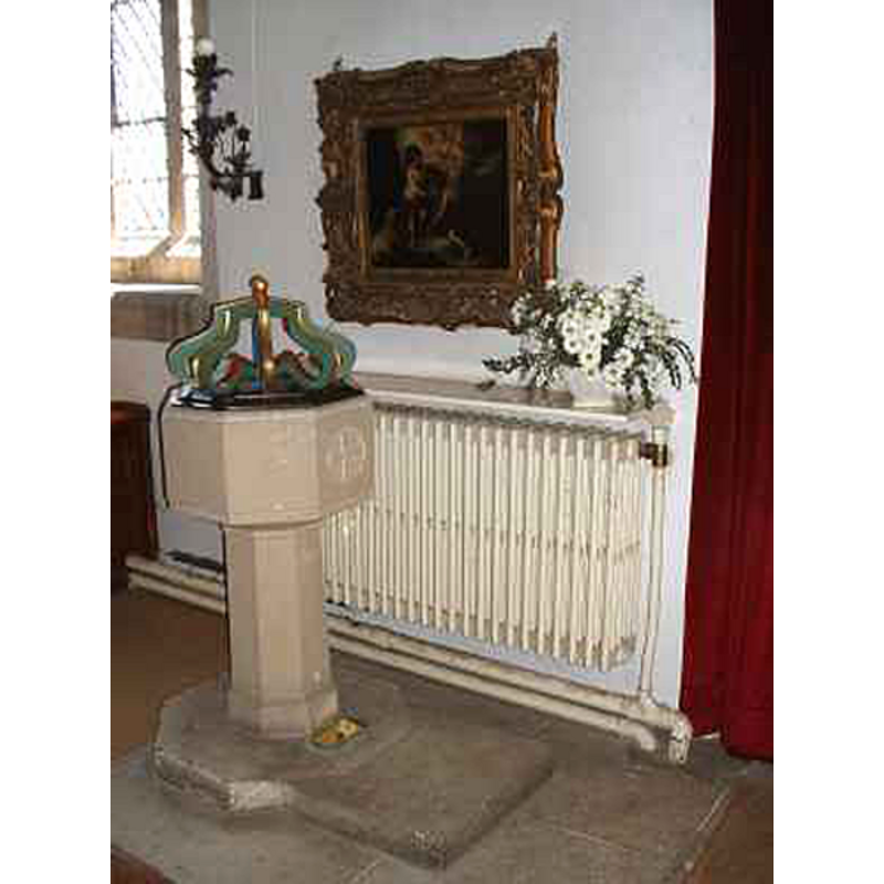
Scene Description: the 19thC font and its 20thC cover
Copyright Statement: Image copyright © Chris Hayley, 2011
Image Source: digital photograph taken by Chris Hayley [http://southernlife.org.uk/stephens.htm] [accessed 31 August 2011]
Copyright Instructions: Standing permission
view of church exterior - northeast view
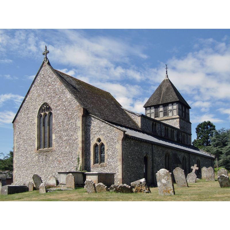
Copyright Statement: Image copyright © Colin Smith, 2018
Image Source: digital photograph taken 10 July 2018 by Colin Smith
Copyright Instructions: Image and permission received from the author (e-mail of 8 December 2018)
view of church exterior - southeast view
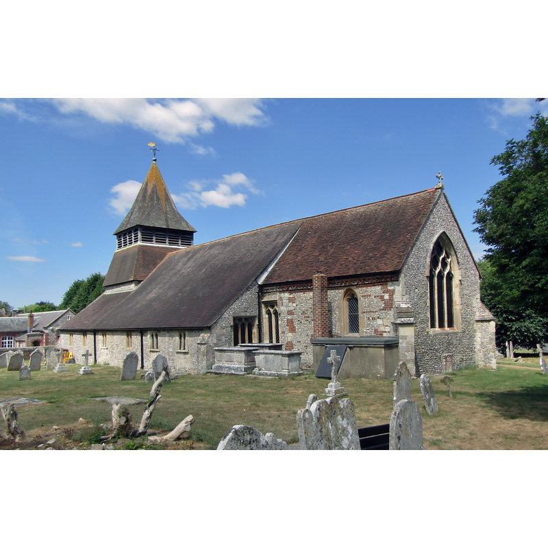
Copyright Statement: Image copyright © Colin Smith, 2018
Image Source: digital photograph taken 10 July 2018 by Colin Smith
Copyright Instructions: Image and permission received from the author (e-mail of 8 December 2018)
view of church interior - looking east
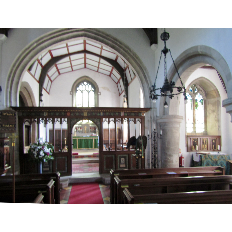
Copyright Statement: Image copyright © Colin Smith, 2018
Image Source: digital photograph taken 10 July 2018 by Colin Smith
Copyright Instructions: Image and permission received from the author (e-mail of 8 December 2018)
INFORMATION
Font ID: 17633SPA
Object Type: Baptismal Font1?
Font Century and Period/Style: 11th century, Pre-Conquest? / Norman
Church / Chapel Name: Parish Church of St. Stephen
Church Patron Saint(s): St. Stephen
Church Address: Church Lane, Sparsholt , Hampshire, SO21 2NR
Site Location: Hampshire, South East, England, United Kingdom
Directions to Site: Located off the B3049, W of Winchester
Ecclesiastic Region: Diocese of Winchester
Historical Region: Hundred of Buddlesgate
Additional Comments: disappeared font? Was the original font discarded in the 1880s renovation by Butterfield?
Font Notes:
Click to view
No entry found for this Sparsholt in the Domesday survey, but the Victoria County History (Hampshire, vol. 3, 1908) notes: "One of the nine churches mentioned in Domesday Book as pertaining to the manor of Chilcomb was probably the church of Sparsholt"; the plan of the present church "has developed from an aisleless nave and chancel church of twelfth-century date [...] The registers for Sparsholt and Lainston are contained in a single book, and record the baptisms from 1607 [...] All the fittings of the church are new, except for a good eighteenth-century organ screen". A major renovation was carried out by William Butterfield in the late-19th century. There is no font mentioned in the VCH entry. The modern font, octagonal basin on an octagonal slender pedestal base is probably from Butterfield's renovation of the church. The painted cover is 20th-century. [NB: we have no information on the medieval font].
Credit and Acknowledgements: We are grateful to Chris Hayley, of http://southernlife.org.uk, and to Colin Smith for their photographs of this church and modern font
COORDINATES
UTM: 30U 613470 5659820
Latitude & Longitude (Decimal): 51.078659, -1.38013
Latitude & Longitude (DMS): 51° 4′ 43.17″ N, 1° 22′ 48.47″ W
REFERENCES
- Victoria County History [online], University of London, 1993-. URL: https://www.british-history.ac.uk.