Otterbourne / Otrebourne / Otreburne
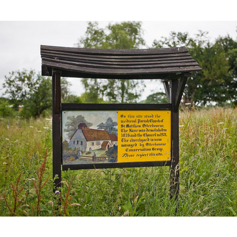
Image copyright © Peter Facey, 2008
CC-BY-SA-2.0
Results: 2 records
view of church exterior - southwest view
Scene Description: information sign where the church stood; it depicts a southwest view of the former church
Copyright Statement: Image copyright © Peter Facey, 2008
Image Source: digital photograph taken 29 June 2008 by Peter Facey [www.geograph.org.uk/photo/864736] [accessed 30 August 2011]
Copyright Instructions: CC-BY-SA-2.0
view of church exterior
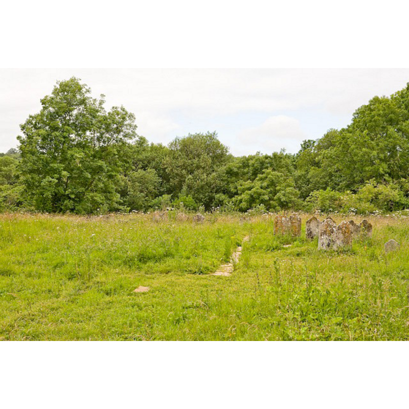
Scene Description: remains of the old church; the line of the stone wall and some of the tomb-stones are still visible
Copyright Statement: Image copyright © Peter Facey, 2008
Image Source: digital photograph taken 29 June 2008 by Peter Facey [www.geograph.org.uk/photo/864736] [accessed 30 August 2011]
Copyright Instructions: CC-BY-SA-2.0
INFORMATION
Font ID: 17632OTT
Object Type: Baptismal Font1?
Font Century and Period/Style: 11th century, Pre-Conquest? / Norman
Church / Chapel Name: Old Parish Church [demolished]
Church Address: address of the present church [cf. FontNotes]: Main Road, Otterbourne SO21 2EQ , UK -- the old church site is off (N) Kiln Lane, SSE of the present church
Site Location: Hampshire, South East, England, United Kingdom
Directions to Site: Located off (E) the M3, 6 km S of Winchester, 13 km N of Southampton
Ecclesiastic Region: Diocese of Winchester
Historical Region: Hundred of Buddlesgate
Additional Comments: disappeared font? (the one from Domesday-times here)
Font Notes:
Click to view
There is an entry for Otterbourne [variant spelling] in the Domesday survey [http://opendomesday.org/place/SU4622/otterbourne/] [accessed 23 July 2018]; it reports a church in it. The Victoria County History (Hampshire, vol. 3, 1908) notes: "The old church of Otterbourne stood at some distance to the south, on lower ground; its chancel is all that is now left. This is of thirteenth-century date". A sign at the place where the church stood informs that the chancel was demolished in 1971. [NB: we have no information on its font]
COORDINATES
UTM: 30U 616258 5651937
REFERENCES
- Victoria County History [online], University of London, 1993-. URL: https://www.british-history.ac.uk.