Preston Candover / Andoure / Andovre / Candeura / Candieura / Candevre / Candoure / Candovre / Kandavor / Kandever / Kandevera / Preste Candevere / Prestecandavere / Preston Candeuere / Preston in Candeveresdene
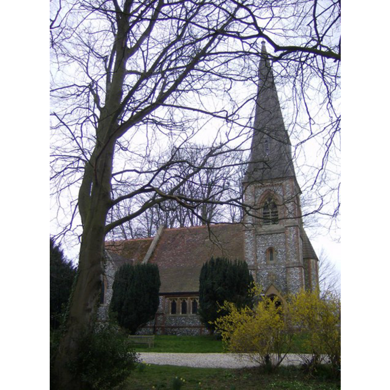
Image copyright © Graham Horn, 2007
CC-BY-SA-3.0
Results: 3 records
view of church exterior - north view
Scene Description: the modern church
Copyright Statement: Image copyright © Graham Horn, 2007
Image Source: digital photograph taken 24 March 2007 by Graham Horn [www.geograph.org.uk/photo/380296] [accessed 25 August 2011]
Copyright Instructions: CC-BY-SA-3.0
view of church exterior - west door
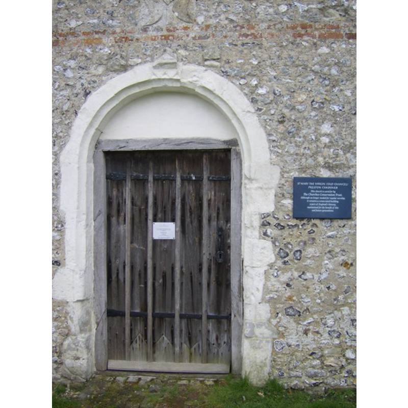
Scene Description: the west door of the chancel of the old church
Copyright Statement: Image copyright © Graham Horn, 2007
Image Source: digital photograph taken 24 March 2007 by Graham Horn [www.geograph.org.uk/photo/377315] [accessed 25 August 2011]
Copyright Instructions: CC-BY-SA-3.0
view of church exterior
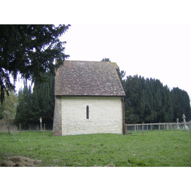
Scene Description: the only part that remains from the old church: its chancel
Copyright Statement: Image copyright © Graham Horn, 2007
Image Source: digital photograph taken 24 March 2007 by Graham Horn [www.geograph.org.uk/photo/377290] [accessed 25 August 2011]
Copyright Instructions: CC-BY-SA-3.0
INFORMATION
Font ID: 17619PRE
Object Type: Baptismal Font1?
Font Date: ca. 1190?
Font Century and Period/Style: 12th century, Transitional
Church / Chapel Name: Old Parish Church of Our Lady
Church Patron Saint(s): St. Mary the Virgin
Church Notes: church originally 12thC; burned down 1681; re-built ca. 1770; restored 19thC
Church Address: Preston Candover, Hampshire RG25 2EN
Site Location: Hampshire, South East, England, United Kingdom
Directions to Site: Located off the B3046, 7 km from Basingstoke
Ecclesiastic Region: Diocese of Winchester
Historical Region: Hundred of Bermondspit
Additional Comments: disappeared font? (the one from the late-12thC church here)
Font Notes:
Click to view
There are six entries for [Preston] Candover [variant spelling] in the Domesday survey [http://domesdaymap.co.uk/place/SU6041/preston-candover/] [accessed 19 July 2014], none of which mentions a church in it; the name of the place is likely related to Edwin the priest, lord and tenant-in-chief of one part in both 1066 and 1086, and/or the 'clerics' who were lords of another part in 1086. The Victoria County History (Hampshire, vol. 3, 1908) notes: "Although Domesday makes no mention of a church in Preston Candover, there seem to have been two churches besides manorial chapels in the thirteenth century. [...] Of the old church of Our Lady the chancel only remains [...] It was burnt down in 1883, a new church being built in the middle of the village to take its place. [...] The chancel dates from c. 1190, having a north window of that date [...] No part of the old church has been worked into the new building, and the font, though brought thence, is modern."
COORDINATES
UTM: 30U 630177 5670233
Latitude & Longitude (Decimal): 51.1687, -1.138
Latitude & Longitude (DMS): 51° 10′ 7.32″ N, 1° 8′ 16.8″ W
REFERENCES
- Victoria County History [online], University of London, 1993-. URL: https://www.british-history.ac.uk.