Dummer with Kempshot / Dumare / Dommere / Dummere
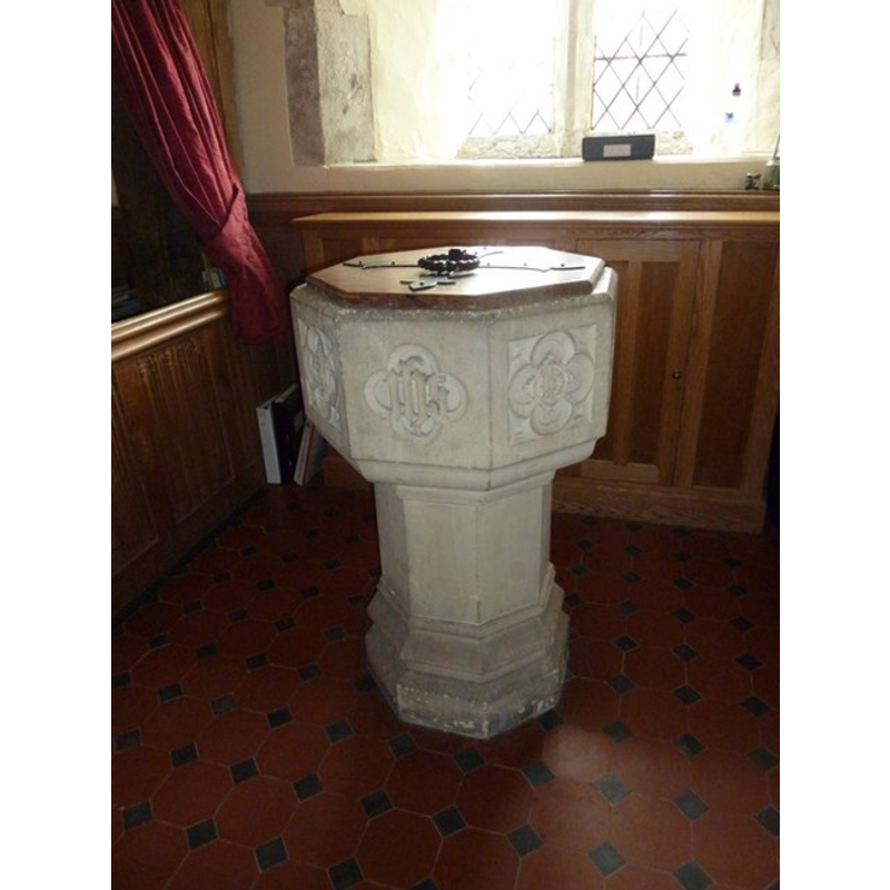
Image copyright © Basher Eyre, 2011
CC-BY-SA-3.0
Results: 3 records
view of font and cover
Scene Description: the modern font [cf. FontNotes]
Copyright Statement: Image copyright © Basher Eyre, 2011
Image Source: digital photograph taken 16 August 2011 by Basher Eyre [/www.geograph.org.uk/photo/2557491] [accessed 25 August 2011]
Copyright Instructions: CC-BY-SA-3.0
view of church exterior - northwest view
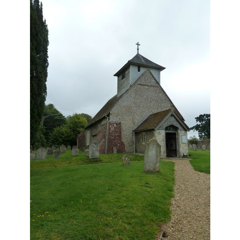
Copyright Statement: Image copyright © Basher Eyre, 2011
Image Source: digital photograph taken 16 August 2011 by Basher Eyre [/www.geograph.org.uk/photo/2557051] [accessed 25 August 2011]
Copyright Instructions: CC-BY-SA-3.0
view of church interior - nave - looking northwest
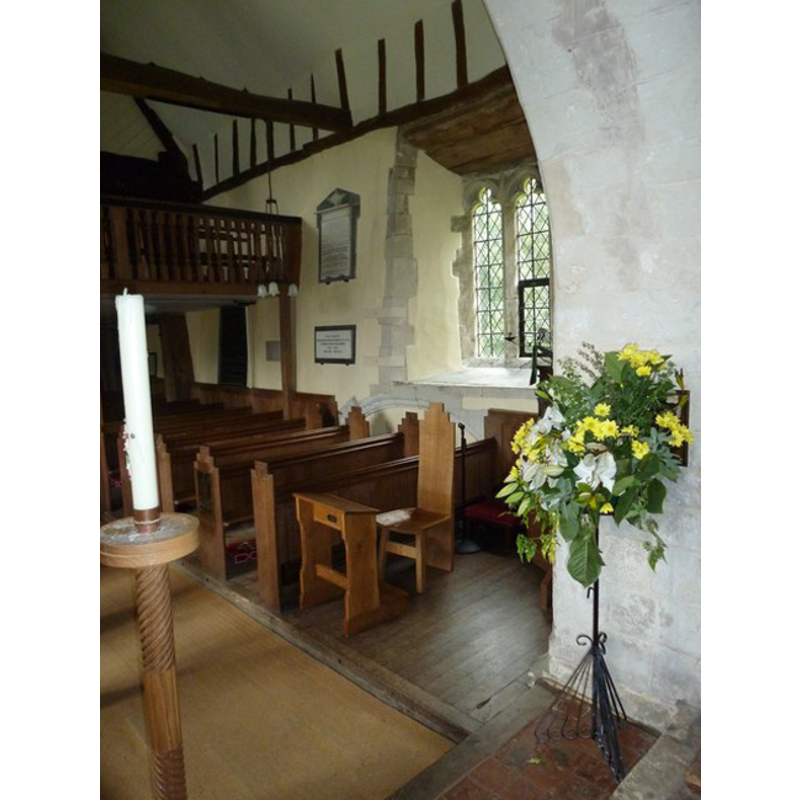
Copyright Statement: Image copyright © Basher Eyre, 2011
Image Source: digital photograph taken 16 August 2011 by Basher Eyre [/www.geograph.org.uk/photo/2557643] [accessed 25 August 2011]
Copyright Instructions: CC-BY-SA-3.0
INFORMATION
Font ID: 17617DUM
Object Type: Baptismal Font1?
Font Century and Period/Style: 11th century, Pre-Conquest
Church / Chapel Name: Parish Church of All Saints
Church Patron Saint(s): All Saints
Church Address: Up Street, Dummer RG25 2AF, UK
Site Location: Hampshire, South East, England, United Kingdom
Directions to Site: Located off the M3, 10 km SW of Basingstoke
Ecclesiastic Region: Diocese of Winchester
Historical Region: Hundred of Bermondspit
Additional Comments: disappeared font? (the fonts from the two Domesday-time churches here)
Font Notes:
Click to view
There are two entries for Dummer [variant spelling] in the Domesday survey [http://opendomesday.org/place/SU5845/dummer/] [accessed 9 July 2018], bot of which report a church in each. The Victoria County History (Hampshire, vol. 3, 1908) notes: "There was a church at Dummer in 1086 [...] The south doorway of the nave dates from the end of the twelfth century, and the nave walls may be of this time [...] The first book of registers runs from 1540 to 1741 [...] The octagonal font, at the south-west of the nave, is modern." The entry for this church in Historic England [Listing NGR: SU5879146240] reports: "A plain octagonal font is Victorian". [NB: we have no information on the medieval font of this church].
COORDINATES
UTM: 30U 628592 5674855
Latitude & Longitude (Decimal): 51.2106, -1.159
Latitude & Longitude (DMS): 51° 12′ 38.16″ N, 1° 9′ 32.4″ W
REFERENCES
- Victoria County History [online], University of London, 1993-. URL: https://www.british-history.ac.uk.