Martyr Worthy / Ordie / Wordia / Worthi Martre / Wurdia la Martre
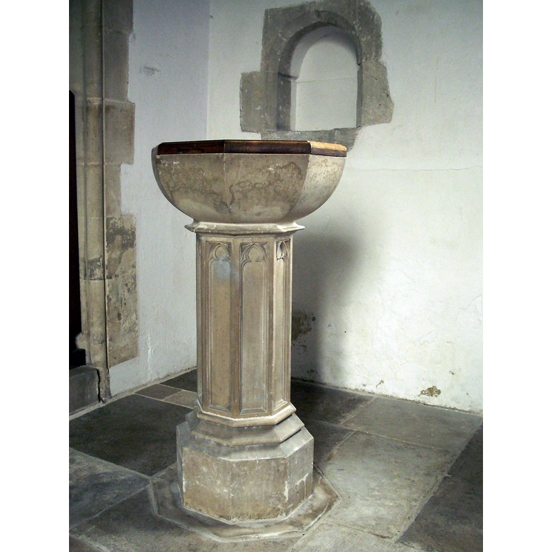
Image copyright © Simon Burchell, 2013
CC-BY-SA-2.0
Results: 6 records
view of font and cover
Scene Description: the modern font
Copyright Statement: Image copyright © Simon Burchell, 2013
Image Source: digital photograph taken 21 May 2013 by Simon Burchell [https://commons.wikimedia.org/wiki/File:St._Swithun's_Church_interior,_Martyr_Worthy_06.JPG] [accessed 5 July 2018]
digital photograph taken 21 May 2013 by Simon Burchell
Copyright Instructions: CC-BY-SA-2.0
view of church exterior - south portal
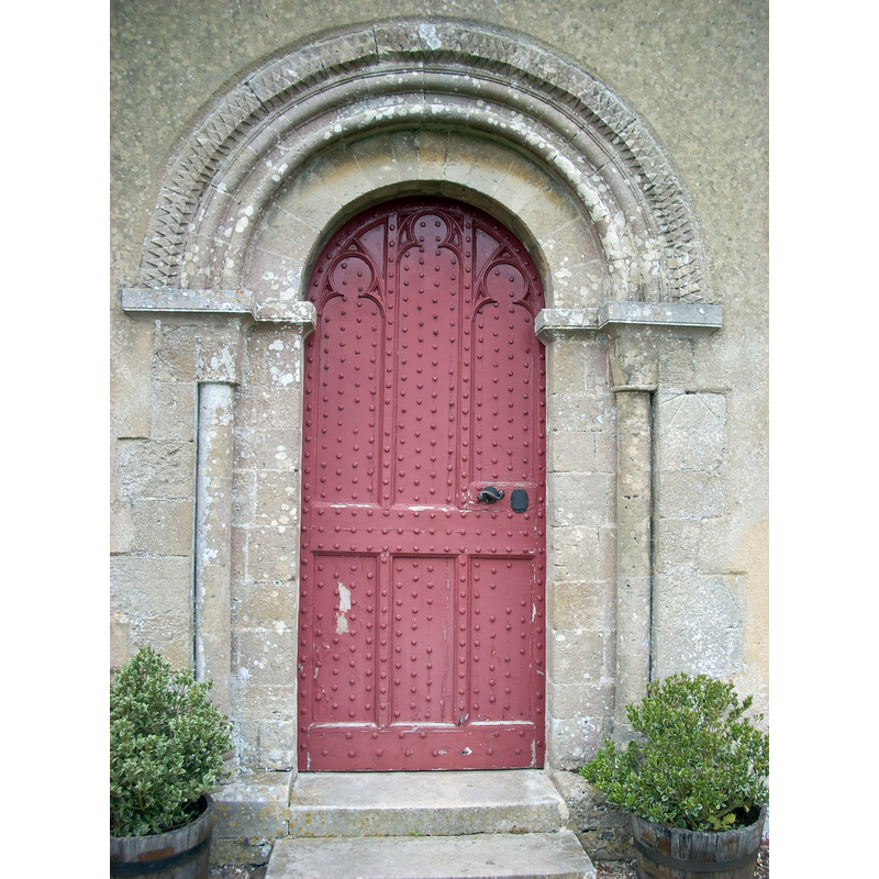
Copyright Statement: Image copyright © Simon Burchell, 2013
Image Source: digital photograph taken 21 May 2013 by Simon Burchell [https://commons.wikimedia.org/wiki/File:St._Swithun's_Church,_Martyr_Worthy_03.JPG] [accessed 5 July 2018]
Copyright Instructions: CC-BY-SA-2.0
view of church exterior - southwest view
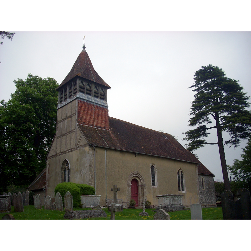
Copyright Statement: Image copyright © Simon Burchell, 2013
Image Source: digital photograph taken 21 May 2013 by Simon Burchell [https://commons.wikimedia.org/wiki/File:St._Swithun's_Church,_Martyr_Worthy_01.JPG] [accessed 5 July 2018]
Copyright Instructions: CC-BY-SA-2.0
view of church exterior - northwest view
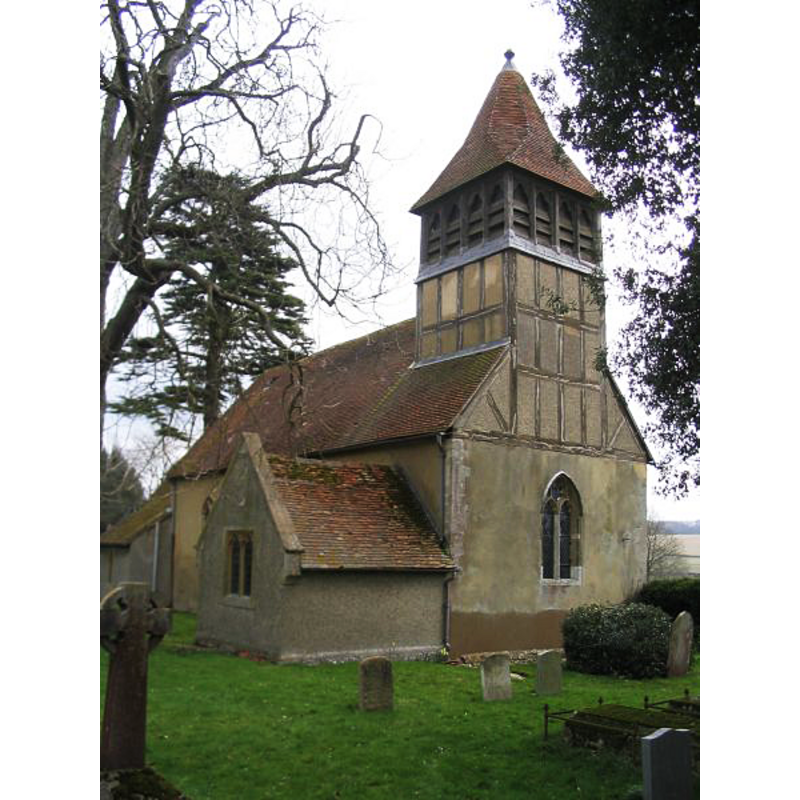
Copyright Statement: Image copyright © Rosemary Oakshott, 2008
Image Source: digital pghotograph taken 26 March 2008 by Rosemary Oakeshott [www.geograph.org.uk/photo/741529] [accessed 18 August 2011]
Copyright Instructions: CC-BY-SA-2.0
view of church interior - nave - looking west
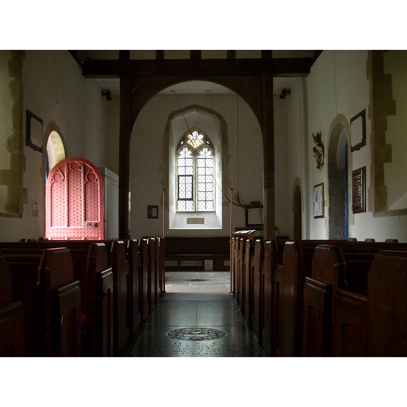
Copyright Statement: Image copyright © Simon Burchell, 2013
Image Source: digital photograph taken 21 May 2013 by Simon Burchell [https://commons.wikimedia.org/wiki/File:St._Swithun's_Church_interior,_Martyr_Worthy_06.JPG] [accessed 5 July 2018]
Copyright Instructions: CC-BY-SA-2.0
view of church interior - nave - looking east
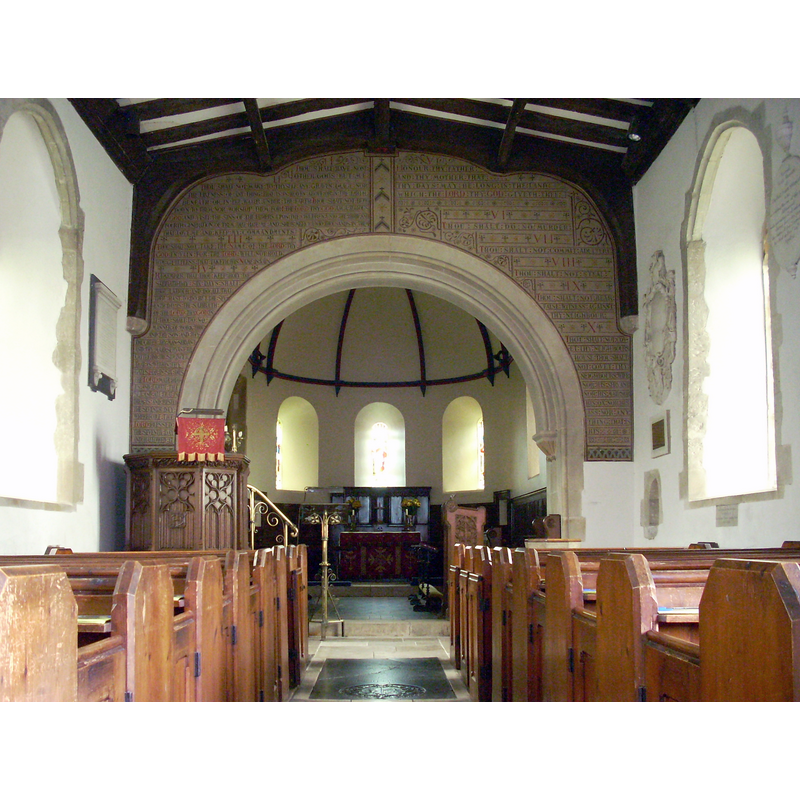
Copyright Statement: Image copyright © Simon Burchell, 2013
Image Source: digital photograph taken 21 May 2013 by Simon Burchell [https://commons.wikimedia.org/wiki/File:St._Swithun's_Church_interior,_Martyr_Worthy_01.JPG] [accessed 5 July 2018]
Copyright Instructions: CC-BY-SA-2.0
INFORMATION
Font ID: 17600MAR
Object Type: Baptismal Font1?
Font Century and Period/Style: 11th century, Pre-Conquest? / Norman
Church / Chapel Name: Parish Church of St. Swithun
Church Patron Saint(s): St. Swithun [aka Swithin]
Church Address: Church Lane, Martyr Worthy, Winchester SO21 1DY, UK
Site Location: Hampshire, South East, England, United Kingdom
Directions to Site: Located off (S) the B3047, E of the M3, 5 km NNE of Winchester
Ecclesiastic Region: Diocese of Winchester
Historical Region: Hundred of Fawley -- Hundred of Barton [in Domesday]
Additional Comments: disappeared font? (the one from the Domesday-time church here)
Font Notes:
Click to view
There is an entry for [Martyr] Worthy [variant spelling] in the Domesday survey [http://opendomesday.org/place/SU5132/martyr-worthy/] [accessed 5 July 2018]; it reports a church in it. The Victoria County History (Hampshire, vol. 3, 1908) notes: "The nave dates from c. 1140–50, its north and south doorways being original work. The north doorway is somewhat more richly treated than the south, and though not now the principal entrance, may at one time have been so. [...] The earliest mention of a church at Martyr Worthy is in the year 1251 [...] The font, near the south door, is modern, with an octagonal bowl on a panelled stem, and there are no ancient fittings in the church." [NB: we have no information on the medieval font].
COORDINATES
UTM: 30U 621495 5661484
Latitude & Longitude (Decimal): 51.091966, -1.265066
Latitude & Longitude (DMS): 51° 5′ 31.08″ N, 1° 15′ 54.24″ W
REFERENCES
- Victoria County History [online], University of London, 1993-. URL: https://www.british-history.ac.uk.