Kilmeston / Chelmestune / Chenelmestune / Culmeston / Culmiston Gymminges / Culmiston Plugnett / Kilmeston Gymminges / Kilmeston Plunkenet / Kympston
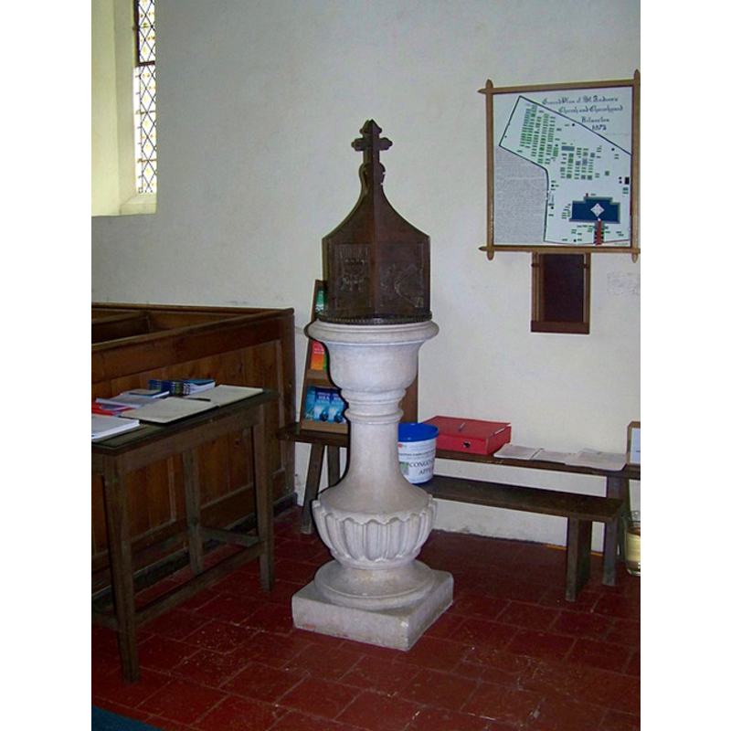
Image copyright © Trish Steel, 2009
CC-BY-SA-2.0
Results: 2 records
view of font and cover
Scene Description: the modern font [cf. FontNotes]
Copyright Statement: Image copyright © Trish Steel, 2009
Image Source: digital photograph taken 23 May 2009 by Trish Steel [www.geograph.org.uk/photo/1330833] [accessed 18 August 2011]
Copyright Instructions: CC-BY-SA-2.0
view of church exterior - southeast view
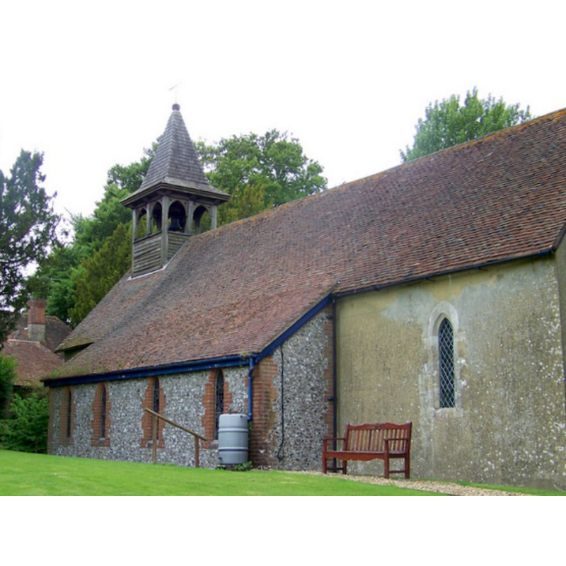
Copyright Statement: Image copyright © Trish Steel, 2009
Image Source: digital photograph taken 23 May 2009 by Trish Steel [www.geograph.org.uk/photo/1330800] [accessed 18 August 2011]
Copyright Instructions: CC-BY-SA-2.0
INFORMATION
Font ID: 17599KIL
Object Type: Baptismal Font1?
Font Century and Period/Style: 11th century, Pre-Conquest? / Norman
Church / Chapel Name: Parish Church of St. Andrew
Church Patron Saint(s): St. Andrew
Church Address: Church Cottages, Kilmeston, Alresford SO24 0NL, UK
Site Location: Hampshire, South East, England, United Kingdom
Directions to Site: Located off (S) the A272, 1 km S of New Cheriton, 8-9 km ESE of Winchester
Ecclesiastic Region: Diocese of Winchester
Historical Region: Hundred of Fawley
Additional Comments: disappeared font? (the one from the Domesday-time church here)
Font Notes:
Click to view
There are two entries for Kilmeston [variant spelling] in the Domesday survey [http://opendomesday.org/place/SU5926/kilmeston/] [accessed 5 July 2018], one of which reports a church in it. The Victoria County History (Hampshire, vol. 3, 1908) notes: "There was a chapel in Kilmeston at the time of the Domesday Survey [...] The church of St. Andrew is in plan a simple rectangle with a modern south aisle and north porch, and any ancient features which it may possess are hidden by plastering and ivy. [...] The first book of the registers, which contains a memorandum that it was bought 1 June, 1671, at Winchester, runs from 1661 to 1812 [...] The font is urn-shaped, of the eighteenth century, and there are no old fittings in the church, except that below the south window of the chancel is a piscina and a square locker." The entry for this church in Historic England [Listing NGR: SU5899625958] mentions no font in it. [NB: we have no information on the medieval font of this church].
COORDINATES
UTM: 30U 629162 5655167
Latitude & Longitude (Decimal): 51.03352, -1.1579
Latitude & Longitude (DMS): 51° 2′ 0.67″ N, 1° 9′ 28.44″ W
REFERENCES
- Victoria County History [online], University of London, 1993-. URL: https://www.british-history.ac.uk.