Bishopstoke / Stoches / Stohes / Stoke
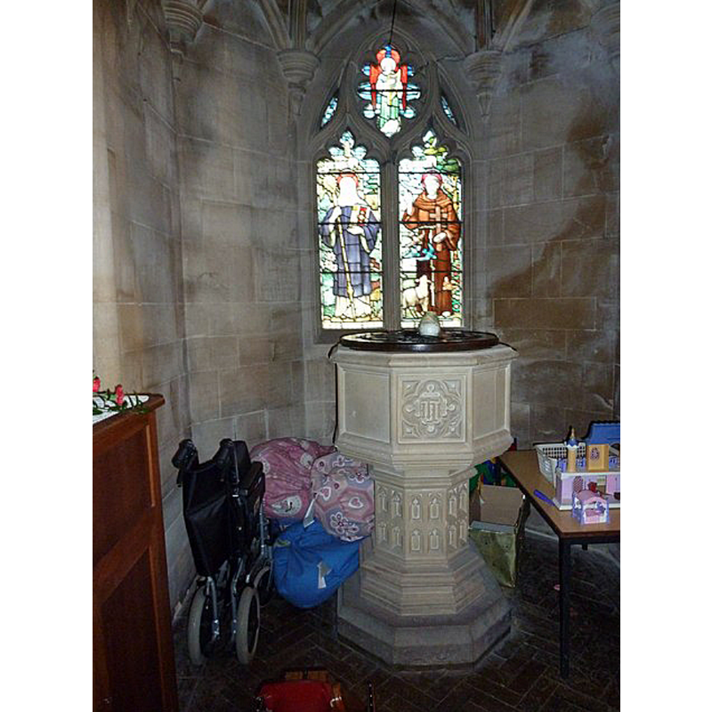
Image copyright © Basher Eyre, 2011
CC-BY-SA-2.0
Results: 2 records
view of font and cover in context
Scene Description: the modern font
Copyright Statement: Image copyright © Basher Eyre, 2011
Image Source: digital photograph taken 2 January 2011 by Basher Eyre [www.geograph.org.uk/photo/2295981] [accessed 3 July 2018]
Copyright Instructions: CC-BY-SA-2.0
view of church exterior - southwest view
![the new church built in 1891-1909 [the old church was demolished in 1908]](/static-50478a99ec6f36a15d6234548c59f63da52304e5/compressed/1180712042_compressed.png)
Scene Description: the new church built in 1891-1909 [the old church was demolished in 1908]
Copyright Statement: Image copyright © Peter Facey, 2008
Image Source: digital photograph taken 15 September 2008 by Peter Facey [www.geograph.org.uk/photo/965498] [accessed 3 July 2018]
Copyright Instructions: CC-BY-SA-2.0
INFORMATION
Font ID: 17594BIS
Object Type: Baptismal Font1
Font Century and Period/Style: 11th century, Pre-Conquest? / Norman
Church / Chapel Name: Old Parish Church of St. Mary [demolished 1908]
Church Patron Saint(s): St. Mary the Virgin
Church Notes: meideval church re-built 1825; demolished 1908; new church built in a different site
Church Address: [address and coordinates are for the present church] Church Rd, Eastleigh SO50 6DS, UK
Site Location: Hampshire, South East, England, United Kingdom
Directions to Site: Located off (E) the A335, SE of Eastleigh, between Winchester and Southampton
Ecclesiastic Region: Diocese of Winchester
Historical Region: Hundred of Fawley
Additional Comments: disappeared font? (the one from the Domesday-time church here)
Font Notes:
Click to view
There is an entry for [Bishop]stoke [variant spelling] in the Domesday survey [http://opendomesday.org/place/SU4619/bishopstoke/] [accessed 3 July 2018]; it mentions a church in it. The Victoria County History (Hampshire, vol. 3, 1908) notes: "At the time of the Domesday Survey there was a church at Bishopstoke. [...] The advowson of Bishopstoke has always been in the hands of the bishops of Winchester except for [...] The church of St. Mary, Bishopstoke, now disused, was rebuilt in 1825 [...] No part of the older church remains. [...] The modern church, also dedicated in honour of St. Mary, was built in 1891". [NB: we have no information on the medieval font of the old church].
COORDINATES
UTM: 30U 616860 5648477
Latitude & Longitude (Decimal): 50.97602, -1.33542
Latitude & Longitude (DMS): 50° 58′ 33.67″ N, 1° 20′ 7.51″ W
REFERENCES
- Gardner, Samuel, A Guide to English Gothic Architecture (illustrated by numerous drawings & photographs), Cambridge: Cambridge University Press, 1925, [www.british-history.ac.uk/report.aspx?compid=41979] [accessed 17 August 2011]