Soberton / Sauberton / Sobertona / Soperton / Supperton / Subertune / Sudbertone / Sudbertune / Supporton
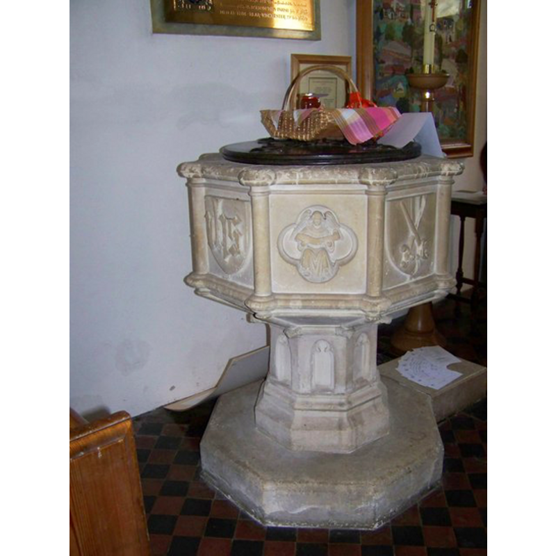
Image copyright © Trish Steel, 2008
CC-BY-SA-3.0
Results: 2 records
view of font and cover
Scene Description: the modern font
Copyright Statement: Image copyright © Trish Steel, 2008
Image Source: digital photograph taken 10 February 2008 by Trish Steel [www.geograph.org.uk/photo/686064] [accessed 12 August 2011]
Copyright Instructions: CC-BY-SA-3.0
view of church exterior - east view

Copyright Statement: Image copyright © Trish Steel, 2008
Image Source: digital photograph taken 10 February 2008 by Trish Steel [www.geograph.org.uk/photo/685970] [accessed 12 August 2011]
Copyright Instructions: CC-BY-SA-3.0
INFORMATION
Font ID: 17584SOB
Object Type: Baptismal Font1?
Font Century and Period/Style: 10th - 11th century, Pre-Conquest
Church / Chapel Name: Parish Church of St. Peter
Church Patron Saint(s): St. Peter
Church Address: 8 The Towers, Soberton, Southampton SO32 3PS, UK
Site Location: Hampshire, South East, England, United Kingdom
Directions to Site: Located off (E) the A32, SSE of Droxford
Ecclesiastic Region: Diocese of Portsmouth
Historical Region: Hundred of Meonstoke
Additional Comments: disappeared fonts? (three fonts?, of the three Domesday-time churches here)
Font Notes:
Click to view
There are five entries for Soberton [variant spelling] in the Domesday survey [http://opendomesday.org/place/SU6116/soberton/] [accessed 27 June 2018], one of which, in the tenancy of the Bishop of Winchster in 1086, reports three churches in it. The Victoria County History (Hampshire, vol. 3, 198) notes: "The building shows traces of a long series of developments, which seem to have been somewhat as follows. The first church of which any evidence still exists may have been of pre-Conquest date, and in plan like Boarhunt [...] The font, near the south doorway, is octagonal and of recent date." The entry for this church in Historic England [Listing NGR: SU6108216840] does not mention a font in it. [NB: we have no information on the medieval font]
COORDINATES
UTM: 30U 631081 5645589
Latitude & Longitude (Decimal): 50.947, -1.134
Latitude & Longitude (DMS): 50° 56′ 49.2″ N, 1° 8′ 2.4″ W
REFERENCES
- Victoria County History [online], University of London, 1993-. URL: https://www.british-history.ac.uk.