Fareham / Ferham / Ferneham / Fernham
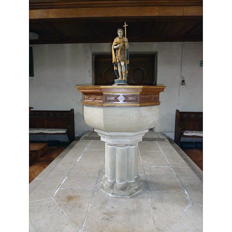
Image copyright © Basher Eyre, 2011
CC-BY-SA-2.0
Results: 3 records
view of font and cover
Scene Description: the modern font
Copyright Statement: Image copyright © Basher Eyre, 2011
Image Source: digital photograph taken 18 May 2011 by Basher Eyre [www.geograph.org.uk/photo/2443173] [accessed 25 June 2018]
Copyright Instructions: CC-BY-SA-2.0
view of church exterior - west view
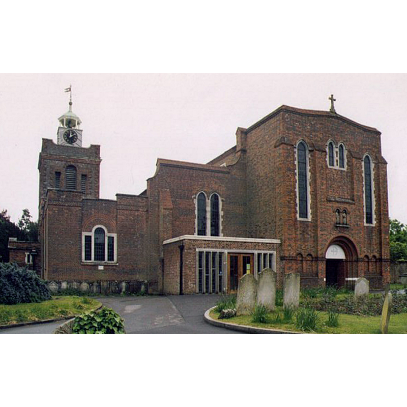
Scene Description: Source caption: "St Peter & St Paul, Fareham. Listed building erected in the 12th century."
Copyright Statement: Image copyright © Michael Ford, 2004
Image Source: digital photograph taken in 2004 by Michael Ford [www.geograph.org.uk/photo/1511534] [accessed 25 June 2018]
Copyright Instructions: CC-BY-SA-2.0
view of church interior - nave - looking east
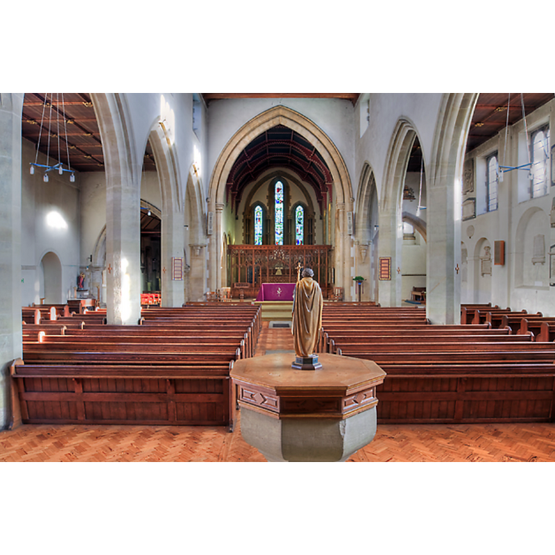
Scene Description: the modern font and cover in the foreground, at the west end of the nave
Copyright Statement: Image copyright © Mike Searle, 2011
Image Source: digital photograph taken 7 December 2011 by Mike Searle [www.geograph.org.uk/photo/2724172] [accessed 25 June 2018]
Copyright Instructions: CC-BY-SA-2.0
INFORMATION
Font ID: 17579FAR
Object Type: Baptismal Font1
Font Century and Period/Style: 11th century, Pre-Conquest? / Norman
Church / Chapel Name: Parish Church of St. Peter and St. Paul
Church Patron Saint(s): St. Peter & St. Paul
Church Address: Osborn Road, Fareham, Hants. PO16 7DR, UK
Site Location: Hampshire, South East, England, United Kingdom
Directions to Site: Located off (N) the A27, between Portsmouth and Southampton
Ecclesiastic Region: Diocese of Portsmouth
Historical Region: Hundred of Fareham ['Ferneham' in Domesday]
Additional Comments: disappeared font? (the one from the medieval church)
Font Notes:
Click to view
There is an entry for Fareham [variant spelling] in the Domesday survey [http://opendomesday.org/place/SU5806/fareham/] [accessed 25 June 2018]; it mentions a church in it. The Victoria County History (Hampshire, vol. 3, 1908) notes: "There was a church at Fareham in 1086 [...] The church of St. Peter and St. Paul preserves of its mediaeval building only the chancel. [...] The fittings of the rest of the church are of no particular interest". The entry for this church in Historic England [Source ID: 1094332] reports a "1930s font with an octagonal stone bowl on a stem with engaged shafts on a later large ashlar stone two-tier base" in it. [NB: we have no information on the medieval font here].
COORDINATES
UTM: 30U 628431 5635342
Latitude & Longitude (Decimal): 50.8555, -1.1753
Latitude & Longitude (DMS): 50° 51′ 19.8″ N, 1° 10′ 31.08″ W
REFERENCES
- Victoria County History [online], University of London, 1993-. URL: https://www.british-history.ac.uk.