Lyndhurst / Lindest / Linhest
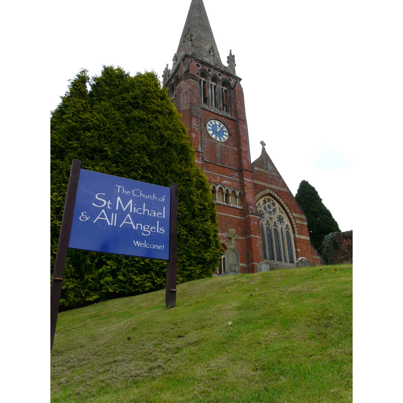
Image copyright © Mike Cattell, 2009
CC-BY-SA-2.0
Results: 4 records
view of church exterior - west view
Scene Description: INT E digital photograph taken 27 February 2011 by Pasicles [https://commons.wikimedia.org/wiki/File:St_Michaels_Church,_Lyndhurst_-_interior.JPG] [accessed 20 September 2018] CC-Zero
FONT CNTXT digital image of a photograph taken 4 August 1998 by John Salmon [www.geograph.org.uk/photo/3314979] [accessed 20 September 2018] 2013
FONT digital image of a photograph taken 4 August 1998 by John Salmon [www.geograph.org.uk/photo/3314980] [accessed 20 September 2018] @ 2013
Copyright Statement: Image copyright © Mike Cattell, 2009
Image Source: digital photograph taken 19 October 2009 by Mike Cattell [https://commons.wikimedia.org/wiki/File:St_Michael_%26_All_Angels,_Lyndhurst,_Hampshire-19Oct2009.jpg] [accessed 20 September 2018]
Copyright Instructions: CC-BY-SA-2.0
view of font
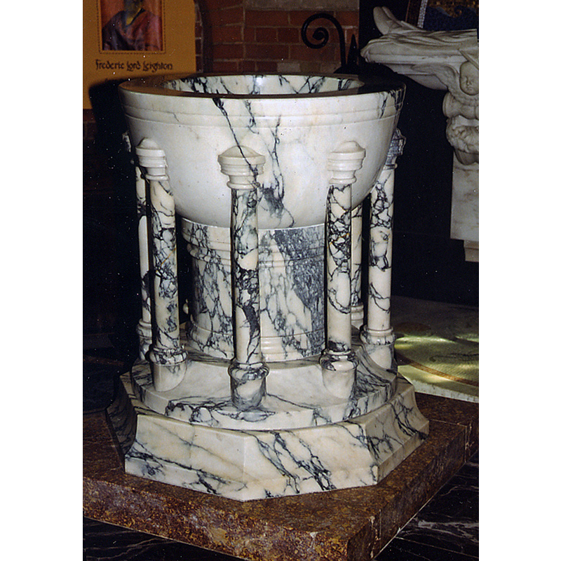
Scene Description: the modern font
Copyright Statement: Image copyright © John Salmon, 2013
Image Source: digital image of a photograph taken 4 August 1998 by John Salmon [www.geograph.org.uk/photo/3314980] [accessed 20 September 2018]
Copyright Instructions: CC-BY-SA-2.0
view of font in context
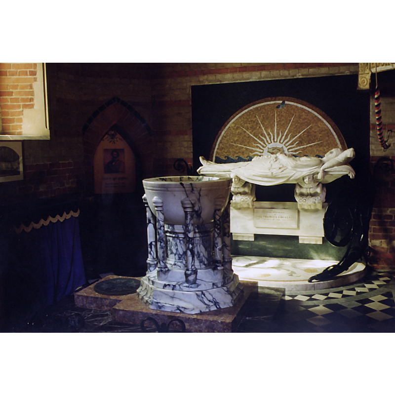
Scene Description: the modern font
Copyright Statement: Image copyright © John Salmon, 2013
Image Source: digital image of a photograph taken 4 August 1998 by John Salmon [www.geograph.org.uk/photo/3314979] [accessed 20 September 2018]
Copyright Instructions: CC-BY-SA-2.0
view of church interior - nave - looking east
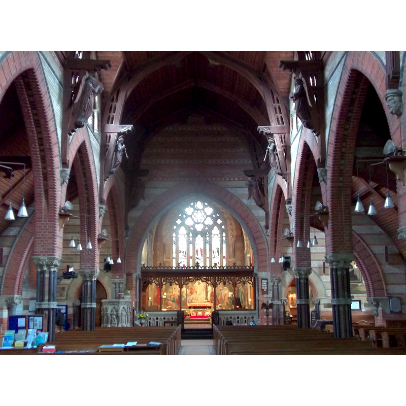
Copyright Statement: Image copyright © [in the public domain]
Image Source: digital photograph taken 27 February 2011 by Pasicles [https://commons.wikimedia.org/wiki/File:St_Michaels_Church,_Lyndhurst_-_interior.JPG] [accessed 20 September 2018]
Copyright Instructions: CC-Zero
INFORMATION
Font ID: 17557LYN
Object Type: Baptismal Font1?
Font Century and Period/Style: 13th - 14th century, Late Medieval
Church / Chapel Name: Parish Church of St. Michael and All Angels
Church Patron Saint(s): St. Michael & All Angels
Church Address: High Street, Lyndhurst, Southampton SO43 7BD, UK -- Tel.: (023) 8028 3175
Site Location: Hampshire, South East, England, United Kingdom
Directions to Site: Located off the A35-A337-B3056 cross-roads, 15 km SW of Southampton
Ecclesiastic Region: Diocese of Winchester
Historical Region: Hundred of New Forest -- Hundred of Boldre [in Domesday]
Additional Comments: disappeared font? (the one from the 13th-14thC church here?)
Font Notes:
Click to view
There is an entry for Lyndhurst [variant spelling] in the Domesday survey [http://opendomesday.org/place/SU2908/lyndhurst/] [accessed 20 September 2018] but it mentions neither cleric nor font in it. The entry for this parish in the Victoria County History (Hampshire, vol. 4, 1911) reports a chapel here in the reign of Edward I (1272-1307) but notes that the present church is modern. The VCH does not mention a font in its entry but notes that the baptismal register starts in 1737. The Parish web site [] notes: "The present building, the third on the site, [...] was built between 1858-69". The entry for this church in Historic England [Listing NGR: SU2988808198] does not mention earlier churches in it. [NB: we have no information from the early font here].
COORDINATES
UTM: 30U 600088 5636579
Latitude & Longitude (Decimal): 50.87222, -1.5775
Latitude & Longitude (DMS): 50° 52′ 19.99″ N, 1° 34′ 39″ W
REFERENCES
- Victoria County History [online], University of London, 1993-. URL: https://www.british-history.ac.uk.