Abbotts Ann / Abbas Aunt / Abbots Ann / Abbottesanne / Abbotts Aunt / Anna / Anne Abbatis
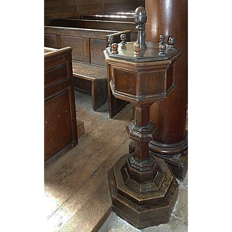
Image copyright © Basher Eyre, 2011
CC-BY-SA-2.0
Results: 4 records
view of font and cover
Scene Description: the modern [18th-century?] wooden font
Copyright Statement: Image copyright © Basher Eyre, 2011
Image Source: digital photograph taken 9 August 2011 by Basher Eyre [www.geograph.org.uk/photo/2554371] [accessed 28 August 2018]
Copyright Instructions: CC-BY-SA-2.0
view of font in context
![the modern [18th-century?] wooden font](/static-50478a99ec6f36a15d6234548c59f63da52304e5/compressed/1110801005_compressed.png)
Scene Description: the modern [18th-century?] wooden font
Copyright Statement: Image copyright © Trish Steel, 2009
Image Source: digital photograph taken 26 January 2009 by Trish Steel [geograph.org.uk - 1161963.jpg] [accessed 31 July 2011]
Copyright Instructions: CC-BY-SA-2.0
view of church exterior - northeast view
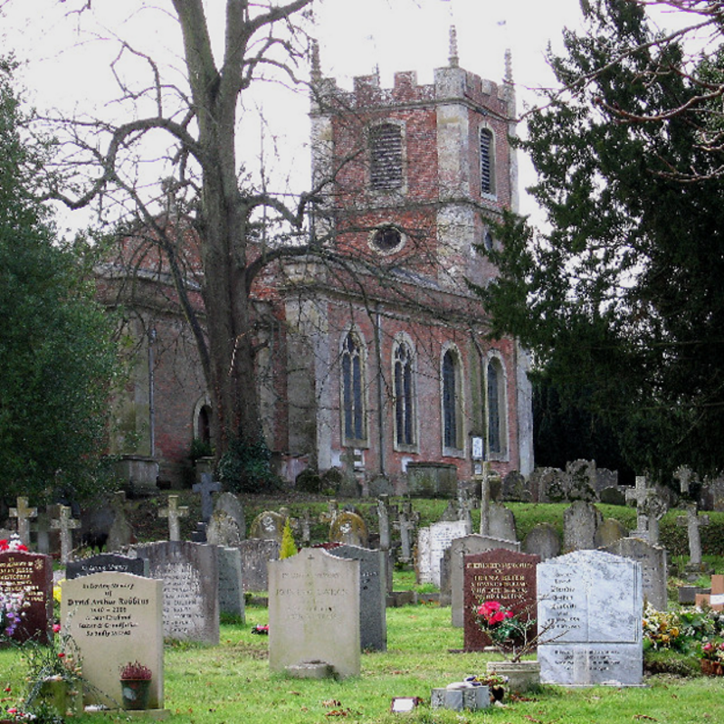
Copyright Statement: Image copyright © Lee Hargreaves, 2005
Image Source: digital photograph taken 14 December 2005 by Lee Hargreaves [http://en.wikipedia.org/wiki/File:St_Mary%27s_Church,_Abbots_Ann.jpg] [accessed 31 Juky 2011]
Copyright Instructions: CC-BY-SA-2.0
view of church interior - west end
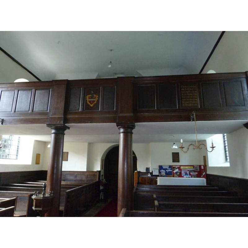
Scene Description: showing the west gallery; partial view of the wooden font in the foreground, left side
Copyright Statement: Image copyright © Basher Eyre, 2011
Image Source: digital photograph taken 9 August 2011 by Basher Eyre [www.geograph.org.uk/photo/2554242] [accessed 28 August 2018]
Copyright Instructions: CC-BY-SA-2.0
INFORMATION
Font ID: 17518ABB
Object Type: Baptismal Font1?
Font Century and Period/Style: 10th - 14th century, Medieval
Church / Chapel Name: Parish Church of St. Mary the Virgin
Font Location in Church: [cf. FontNotes]
Church Patron Saint(s): St. Mary the Virgin
Church Notes: church recorded here 901/903; re-built 14thC
Church Address: Abbotts Ann, Andover SP11 , UK -- Tel.: 07922153765
Site Location: Hampshire, South East, England, United Kingdom
Directions to Site: Located off (NW) the A343, 3 km SW of Andover
Ecclesiastic Region: Diocese of Winchester
Historical Region: Hundred of Andover
Additional Comments: disappeared font?
Font Notes:
Click to view
There is an entry for [Abbotts] Ann [variant spelling] in the Domesday survey [http://opendomesday.org/place/SU3243/abbotts-ann/] [accessed 28 August 2018] but ir mentions neither cleric nor church in it. The Victoria County History (Hampshire, vol. 4, 1911) notes: "In King Edward's charter of 903 a church is mentioned with the 15 hides in Ann granted to the New Minster [...] The church of St. Mary the Virgin [...] was rebuilt in 1716 [...] and nothing of the earlier building appears to have been preserved except the bells and a small brass. [...] The altar table, pulpit, font—a small one of oak—and the seats are all contemporary with the building." [NB: we have no information on the medieval font of the original church here]
COORDINATES
UTM: 30U 602864 5672006
Latitude & Longitude (Decimal): 51.1902, -1.528
Latitude & Longitude (DMS): 51° 11′ 24.72″ N, 1° 31′ 40.8″ W
REFERENCES
- Victoria County History [online], University of London, 1993-. URL: https://www.british-history.ac.uk.