Worting / Whothing / Worthyng / Wortinges / Wourtinge / Wurting
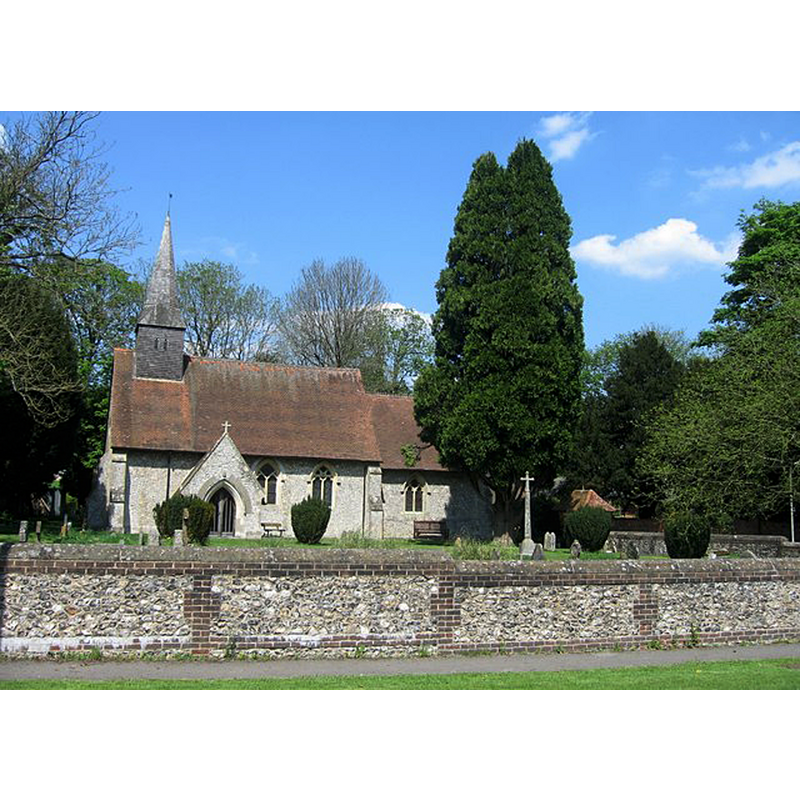
Image copyright © Sebastian Ballard, 2008
CC-BY-SA-2.0
Results: 1 records
view of church exterior - south view
Scene Description: The modern church
Copyright Statement: Image copyright © Sebastian Ballard, 2008
Image Source: digital photograph taken 7 May 2008 by Sebastian Ballard [www.geograph.org.uk/photo/796657] [accessed 21 August 2018]
Copyright Instructions: CC-BY-SA-2.0
INFORMATION
Font ID: 17499WOR
Object Type: Baptismal Font1?
Font Century and Period/Style: 11th century, Pre-Conquest? / Norman
Church / Chapel Name: Parish Church of St. Thomas of Canterbury
Church Patron Saint(s): St. Thomas of Canterbury [aka St. Thomas à Becket]
Church Address: [NB: address and coordinates are for the modern church] 409 Worting Rd, Basingstoke RG23 8PR, UK -- Tel.: +44 1256 327305
Site Location: Hampshire, South East, England, United Kingdom
Directions to Site: Located off (S) the B3400, W of Basingstoke, in the Basingstoke and Deane district
Ecclesiastic Region: Diocese of Winchester
Historical Region: Hundred of Chuteley
Additional Comments: destroyed font? (original font probably destroyed in a fire in 1655 [cf. FontNotes])
Font Notes:
Click to view
There is an entry for Worting [variant spelling] in the Domesday survey [http://opendomesday.org/place/SU6051/worting/] [accessed 21 August 2018]; it reports a church in it. The Victoria County History (Hampshire, vol. 4, 1911) notes: "There was a church in Worting at the time of the Domesday Survey. [...] On 9 May 1655 a great fire broke out in the village ' which burnt to the ground the parish church, a farm-house adjacent to the parsonage, the White Horse Inn, six other dwelling houses, eleven barns and many goods.' [...] The church which was subsequently rebuilt was pulled down in 1848, when a new one was built on the same site. The entry for this church in Historic England [Listing NGR: SU6012251855] notes: "1848. Gothic (C14 style) building with a nave and chancel, having on the north side an aisle and vestry. [...] The interior contains a chancel arch, ogee arch to a sedilia, octagonal pulpit and font." [NB: we have no information on the original font of the destroyed church; assumed destroyed in the fire].
COORDINATES
UTM: 30U 629739 5680631
Latitude & Longitude (Decimal): 51.26225, -1.1405
Latitude & Longitude (DMS): 51° 15′ 44.1″ N, 1° 8′ 25.8″ W
REFERENCES
- Victoria County History [online], University of London, 1993-. URL: https://www.british-history.ac.uk.