Tadley / Taddanleage / Taddele / Taddelegh / Taddeley / Tadel / Tadele / Tadelegh / Tadeleye / Tederley / Titherley / Tudurley
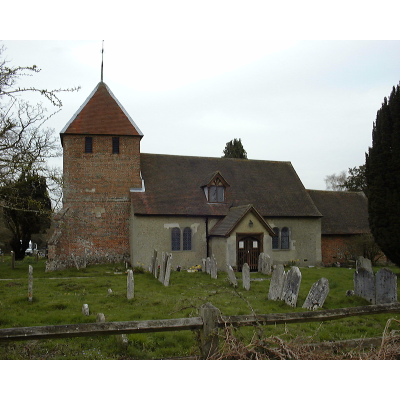
Image copyright © Alan Pascoe, 2006
CC-BY-SA-3.0
Results: 1 records
view of church exterior - south view
Copyright Statement: Image copyright © Alan Pascoe, 2006
Image Source: digital photograph taken 21 April 2006 by Alan Pascoe [http://en.wikipedia.org/wiki/File:StPetersTadley.jpg]
Copyright Instructions: CC-BY-SA-3.0
INFORMATION
Font ID: 17485TAD
Object Type: Baptismal Font1?
Church / Chapel Name: Parish Church of St. Peter [formerly a chapel of ease]
Font Location in Church: Parish Church of St. Peter [formerly a chapel of ease]
Church Patron Saint(s): St. Peter
Church Address: 23 Church Road, Tadley, Hampshire RG26 3AU, UK -- Tel.: +44 118 981 4860
Site Location: Hampshire, South East, England, United Kingdom
Directions to Site: Located on Mulfords Hill, off the A340. 10 km N of Basingstoke, 16 km SW of Reading, near the border with Berks.
Ecclesiastic Region: Diocese of Winchester
Historical Region: Hundred of Overton
Additional Comments: disappeared font? (the one from the Domesday-time church here)
Font Notes:
Click to view
No individual entry found for Tadley in the Domesday survey. The Victoria County History (Hampshire, vol. 4, 1911) notes: "At the time of the Domesday Survey there were two churches in Overton, [...] representing respectively the parish church of Overton and the dependent chapel of Tadley [...] Tadley was a chapelry dependent upon the mother church of Overton until 1878, [...] when [...] it was severed from Overton parish and constituted a separate ecclesiastical parish. [...] It is impossible to say how old the nave of the building is, as it is completely covered with plaster inside and roughcast outside, but its present condition seems to date from the 17th century. [...] The small modern font has an octagonal bowl resting on an alabaster shaft with a foliate capital." [NB: the modern font is Victorian; we have no information on a possible font from the Domesday-time building]
COORDINATES
UTM: 30U 629365 5688788
Latitude & Longitude (Decimal): 51.33564, -1.1429
Latitude & Longitude (DMS): 51° 20′ 8.3″ N, 1° 8′ 34.44″ W
REFERENCES
- Victoria County History [online], University of London, 1993-. URL: https://www.british-history.ac.uk.