Ashe / Ash / Aisse / Aisshe / Asshe / Aysshe / Esse / Esshemaners
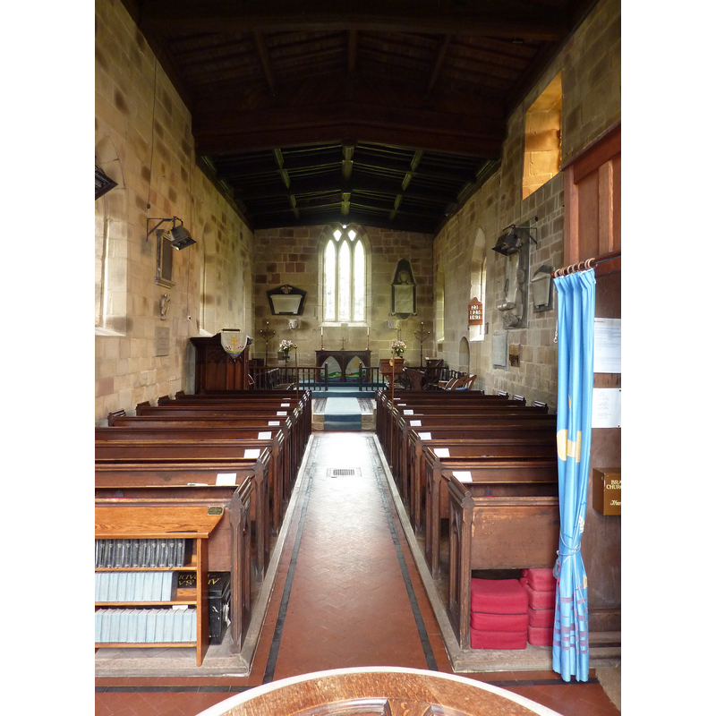
Image copyright © Gammock, 2010
CC-BY-SA-4.0
Results: 1 records
view of church exterior in context - southeast view
Copyright Statement: Image copyright © Gammock, 2010
Image Source: digital photograph taken 9 April 2010 by Gammock [https://commons.wikimedia.org/wiki/File:Ashe_Church.jpg] [accessed 14 August 2018]
Copyright Instructions: CC-BY-SA-4.0
INFORMATION
Font ID: 17481ESS
Object Type: Baptismal Font1?
Font Date: ca. 1120?
Font Century and Period/Style: 12th century (early?), Norman
Church / Chapel Name: Parish Church of the Holy Trinity and St. Andrew [new church]
Font Location in Church: [cf. FontNotes]
Church Patron Saint(s): The Holy Trinity & St. Andrew
Church Address: 1 Ashe Ln, Ashe, Basingstoke RG25 3AJ, UK
Site Location: Hampshire, South East, England, United Kingdom
Directions to Site: Located off (N) the B3400, 10 km W of Basingstoke
Ecclesiastic Region: Diocese of Winchester
Historical Region: Hundred of Overton
Additional Comments: disappeared? (the medieval font)
Font Notes:
Click to view
There is an entry for this Ashe [variant spelling] in the Domesday survey [http://opendomesday.org/place/SU5349/ashe/] [accessed 14 August 2018]; it reports a church in it. The Victoria County History (Hampshire, vol. 4, 1911) notes: "There was a church in the parish at the time of the Domesday Survey. [...] The destruction of the original church was so complete that there are only a few details of it left. One of these is the basin and jambs of the 14th-century piscina in the south wall of the chancel, and in the vestry is a 12th-century pillar piscina which was found built up in the wall. It is a good and early specimen, c. 1120 [...] The church [...] was built in 1877–8 on an old site." [NB: there is no mention of a font in the VCH entry; we have no information on the font of the medieval church].
COORDINATES
UTM: 30U 623135 5678720
Latitude & Longitude (Decimal): 51.246542, -1.235759
Latitude & Longitude (DMS): 51° 14′ 47.55″ N, 1° 14′ 8.73″ W
REFERENCES
- Victoria County History [online], University of London, 1993-. URL: https://www.british-history.ac.uk.