Woodmancott / Udemanecote / Udemancote / Wbodmancote / Wodemancote / Wodmancote / Wudemancote
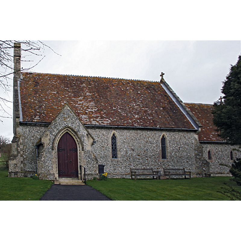
Image copyright © Anonymous 4452, 2006
CC-BY-SA-2.0
Results: 2 records
view of church exterior - south view
Scene Description: "The church of St. James was burnt down on Easter Day, 1854, and the present building dates from the next year, and contains nothing of interest" [source: VCH cf. FontNotes]
Copyright Statement: Image copyright © Anonymous 4452, 2006
Image Source: digital photograph taken 14 April 2006 by Anonymous 4452 [www.geograph.org.uk/photo/151717] [accessed 13 August 2018]
Copyright Instructions: CC-BY-SA-2.0
view of church exterior - southeast view
!["The church of St. James was burnt down on Easter Day, 1854, and the present building dates from the next year, and contains nothing of interest" [source: VCH cf. FontNotes]](/static-50478a99ec6f36a15d6234548c59f63da52304e5/compressed/1180817001_compressed.png)
Scene Description: "The church of St. James was burnt down on Easter Day, 1854, and the present building dates from the next year, and contains nothing of interest" [source: VCH cf. FontNotes]
Copyright Statement: Image copyright © Robin Webster, 2015
Image Source: digital photograph taken 8 February 2015 by Robin Webster [www.geograph.org.uk/photo/4341127] [accessed 13 August 2018]
Copyright Instructions: CC-BY-SA-2.0
INFORMATION
Font ID: 17477WOD
Object Type: Baptismal Font1?
Font Century and Period/Style: Medieval
Church / Chapel Name: Parish Church od St. James [old church burnt down 1854]
Font Location in Church: [cf. FontNotes]
Church Patron Saint(s): St. James
Church Address: [NB: address & coordinates are for the new church] Market Street, Woodmancote w Popham, Winchester SO21 3BL, UK -- Tel.: 01962 881879
Site Location: Hampshire, South East, England, United Kingdom
Directions to Site: Located off (E) the M3, 15 km NE of Winchester
Ecclesiastic Region: Diocese of Winchester
Historical Region: Hundred of Mainsborough
Additional Comments: disappeared font? (church -and font?- destroyed in a fire in 1854)
Font Notes:
Click to view
There is an entry for Woodmancott [variant spelling] in the Domesday survery [http://opendomesday.org/place/SU5642/woodmancott/] [accessed 9 August 2018] but it mentions neither cleric nor church in it. The Victoria County History (Hampshire, vol. 4, 1911) notes: "The church of St. James was burnt down on Easter Day, 1854, and the present building dates from the next year, and contains nothing of interest."
COORDINATES
UTM: 30U 626071 5671349
Latitude & Longitude (Decimal): 51.17965, -1.1963
Latitude & Longitude (DMS): 51° 10′ 46.74″ N, 1° 11′ 46.68″ W