Tunworth / Thonewurth / Toneworthe / Tuneworde / Tunewurda / Tunnesworth / Tunworde
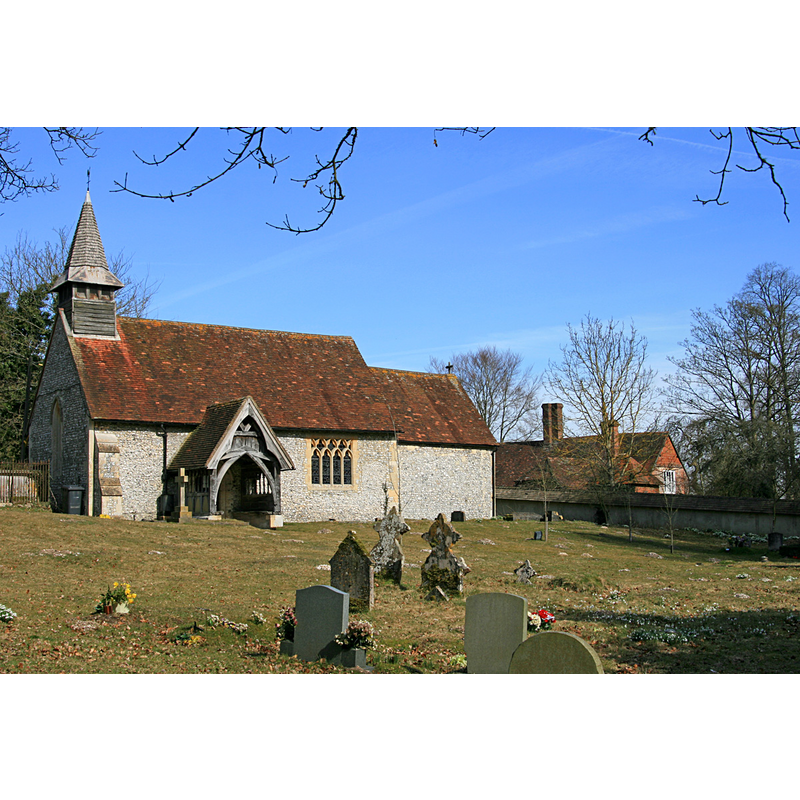
Image copyright © Hugh Chevallier, 2010
CC-BY-SA-2.0
Results: 1 records
view of church exterior - south view
Copyright Statement: Image copyright © Hugh Chevallier, 2010
Image Source: digital photograph taken 16 March 2010 by Hugh Chevallier [geograph.org.uk-1755840.jpg]
Copyright Instructions: CC-BY-SA-2.0
INFORMATION
Font ID: 17468TUN
Object Type: Baptismal Font1?
Font Century and Period/Style: 12th century, Late Norman? / Transitional?
Church / Chapel Name: Parish Church of All Saints
Font Location in Church: [cf. FontNotes]
Church Patron Saint(s): All Saints
Church Address: Tunworth, Basingstoke and Deane, Hampshire, RG25, UK
Site Location: Hampshire, South East, England, United Kingdom
Directions to Site: Located 6-7 km from Basingstoke
Ecclesiastic Region: Diocese of Winchester
Historical Region: Hundred of Basingstoke
Additional Comments: disappeared font? (the medieval one)
Font Notes:
Click to view
There is an entry for Turnworth [variant spelling] in the Domesday survey [http://opendomesday.org/place/SU6748/tunworth/] [accessed 8 August 2018] but it mentions neither cleric nor church in it. The Victoria County History (Hampshire, vol. 4, 1911) notes: "The first recorded mention of a church in the parish is in 1291 [...] The nave walls date from the 12th century and one original window still remains; the chancel and chancel arch are perhaps c. 1200, and appear to have been partly rebuilt at a later period [...] The altar, font and other furniture are modern." [NB: we have no information on the medieval font of this church].
COORDINATES
UTM: 30U 637057 5677315
Latitude & Longitude (Decimal): 51.230734, -1.036935
Latitude & Longitude (DMS): 51° 13′ 50.64″ N, 1° 2′ 12.97″ W