Newnham nr. Hook / Neweham / Newenam / Nywenham
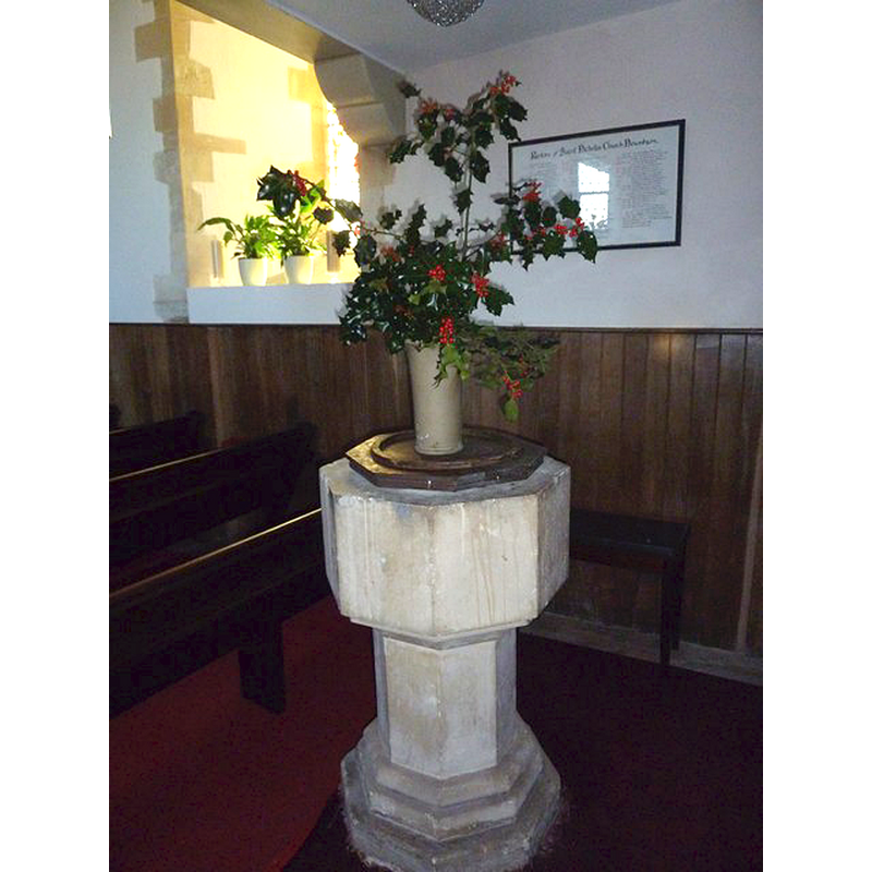
Image copyright © Basher Eyre, 2011
CC-BY-SA-2.0
Results: 3 records
view of font and cover
Scene Description: The modern [mid-19thC?] font
Copyright Statement: Image copyright © Basher Eyre, 2011
Image Source: digital photograph taken 30 November 2011 by Basher Eyre [www.geograph.org.uk/photo/2799506] [accessed 8 August 2018]
Copyright Instructions: CC-BY-SA-2.0
view of church exterior - northeast view
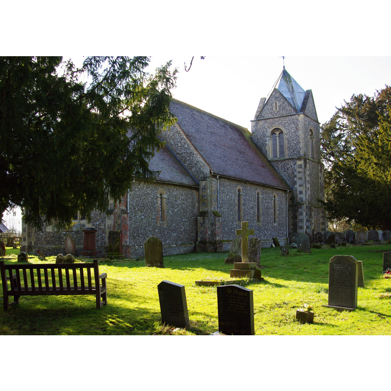
Scene Description: Source caption: "St. Nicholas, Newnham, Hampshire. Founded in the 12th century, extensively modernised in the 1840s"
Copyright Statement: Image copyright © Andrew Mathewson, 2010
Image Source: digital photograph taken 20 February 2010 by Andrew Mathewson [www.geograph.org.uk/photo/1719280] [accessed 8 August 2018]
Copyright Instructions: CC-BY-SA-2.0
view of church exterior - south view
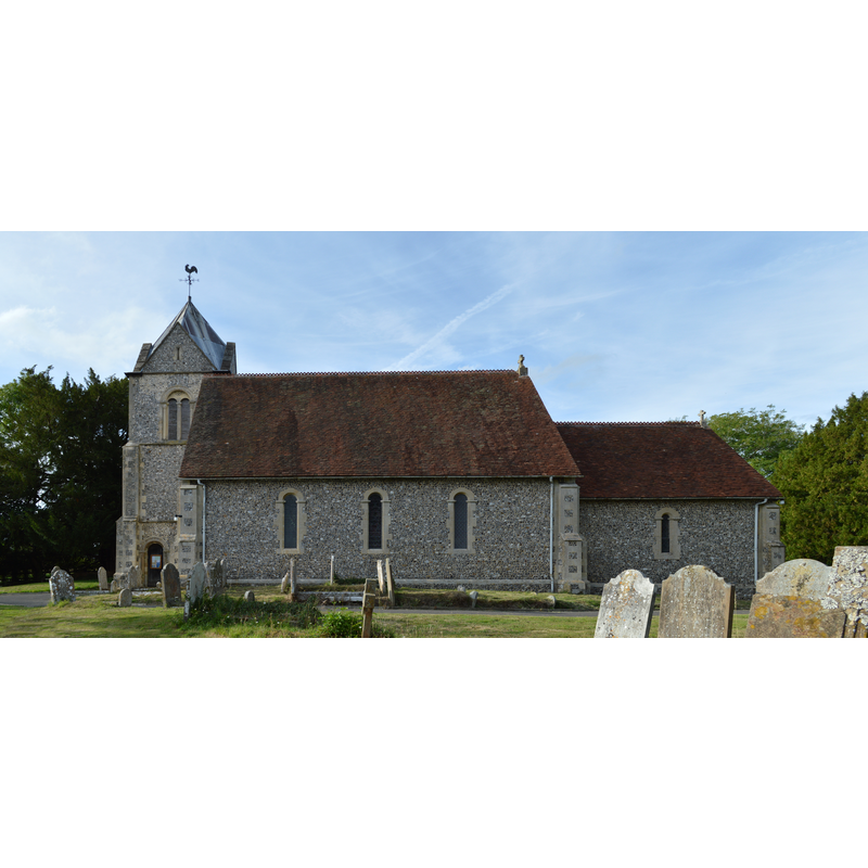
Copyright Statement: Image copyright © Lewis Hulbert, 2015
Image Source: digital photograph taken 3 August 2015 by Lewis Hulbert [https://commons.wikimedia.org/wiki/File:Church_of_St._Nicholas,_Newnham,_Hampshire.jpg] [accessed 8 August 2018]
Copyright Instructions: CC-BY-SA-3.0
INFORMATION
Font ID: 17466NEW
Object Type: Baptismal Font1?
Font Century and Period/Style: 12th century (early?), Norman
Church / Chapel Name: Parish Church of St. Nicholas
Font Location in Church: [cf. FontNotes]
Church Patron Saint(s): St. Nicholas of Myra
Church Address: Church Path, Newnham RG27 9AN, UK
Site Location: Hampshire, South East, England, United Kingdom
Directions to Site: Located off the A287, 2 km W of Hook, 6 km E of Basingstoke
Ecclesiastic Region: Diocese of Winchester
Historical Region: Hundred of Basingstoke
Additional Comments: disappeared font? (from the ealy-12th century church?)
Font Notes:
Click to view
No entry found for this Newham in the Domesday survey. The Victoria County History (Hampshire, vol. 4, 1911) notes: "The earliest work in the church dates from the first quarter of the 12th century, and the existing nave and chancel are upon the original foundations and contain much of the walling of that time; but an extensive restoration of the church in 1847–8 by the then Lord Dorchester has destroyed all further evidence of the history of the building. [...] All the fittings, including the plain octagonal font, are modern." [NB: we have no information on the medieval font of this church]
COORDINATES
UTM: 30U 640031 5682936
Latitude & Longitude (Decimal): 51.280531, -0.992174
Latitude & Longitude (DMS): 51° 16′ 49.91″ N, 0° 59′ 31.82″ W
REFERENCES
- Victoria County History [online], University of London, 1993-. URL: https://www.british-history.ac.uk.