Hartley Wintney / Herclega / Hertele / Herteley Witney / Hertleye Wynteneye / Hurtlegh / Hurtleye Winteney / Hurtleye Wytteneye

Image copyright © Andrew Mathewson, 2010
CC-BY-SA-2.0
Results: 2 records
view of church exterior - north view
Copyright Statement: Image copyright © Andrew Mathewson, 2010
Image Source: digital photograph taken 7 March 2010 by Andrew Mathewson [www.geograph.org.uk/photo/1740681] [accessed 4 August 2018]
Copyright Instructions: CC-BY-SA-2.0
view of church exterior - south view
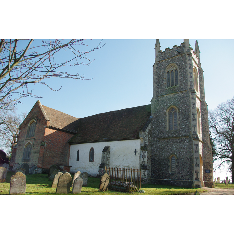
Copyright Statement: Image copyright © Lewis Hulbert, 2014
Image Source: digital photograph taken 19 January 2014 by Lewis Hulbert [https://commons.wikimedia.org/wiki/File:St_Mary's_Church,_Hartley_Wintney.JPG] [accessed 4 August 2018]
Copyright Instructions: CC-BY-3.0
INFORMATION
Font ID: 17454HAR
Object Type: Baptismal Font1?
Font Century and Period/Style: 13th century, Medieval
Church / Chapel Name: Parish Church of St. Mary [redundant since 1974; now a mortuary chapel]
Font Location in Church: [cf. FontNotes]
Church Patron Saint(s): St. Mary the Virgin
Church Address: Church Ln, Hartley Wintney RG27 8EE, UK -- Tel.: +44 117 929 1766
Site Location: Hampshire, South East, England, United Kingdom
Directions to Site: Located 3 km N of Winchfield, 13 km E of Basingstoke
Ecclesiastic Region: Diocese of Winchester
Historical Region: Hundred of Odiham
Additional Comments: disappeared font? (the one from the 13thC church here)
Font Notes:
Click to view
No entry found for Hartley Wintney in the Domesday survey. The Victoria County History (Hampshire, vol. 3, 1911) notes: "The church was apparently included in the original endowment of the priory of Hartley Wintney [i.e., 12thC]. It was appropriated to the priory, and the prioress and nuns presented the vicars till the Dissolution [...] The old parish church is now used as a mortuary chapel. [...] The present parish church [...] was built in 1870 [...] All the internal fittings are modern [...] A broken modern font of 13th-century style stands under the chancel arch." The Churches Conservation Trust web site [www.visitchurches.org.uk] illustrates a font -perhaps the modern one of 13th-century style- still in this edifice: it consists of a cylindrical basin raised on a foliated capital, a plain stem and a round moulded base. The entry for this church in English Heritage [Listing NGR: SU7737357099] notes the original church was built in the 13th century [NB: we have no information on the original medieval font of this church].
COORDINATES
UTM: 30U 646007 5685748
Latitude & Longitude (Decimal): 51.2968, -0.9002
Latitude & Longitude (DMS): 51° 17′ 48.48″ N, 0° 54′ 0.72″ W
REFERENCES
- Victoria County History [online], University of London, 1993-. URL: https://www.british-history.ac.uk.