Dogmersfield / Dochemeresfeld / Dogmeresfeld / Dokemeresfeld / Ormeresfelt
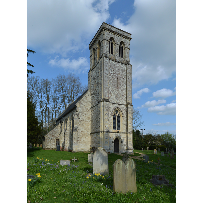
Image copyright © Lewis Hulbert, 2014
CC-BY-SA-3.0
Results: 2 records
view of church exterior - northeast view
Copyright Statement: Image copyright © Lewis Hulbert, 2014
Image Source: digital photograph taken 14 April 2014 by Lewis Hulbert [https://commons.wikimedia.org/wiki/File:All_Saints_Church,_Dogmersfield_south-east_view.jpg] [accessed 1 August 2018]
Copyright Instructions: CC-BY-SA-3.0
view of church exterior - south view
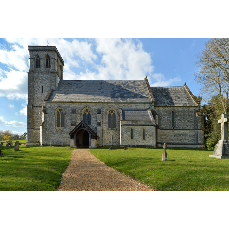
Copyright Statement: Image copyright © Lewis Hulbert, 2014
Image Source: digital photograph taken 14 April 2014 by Lewis Hulbert [https://commons.wikimedia.org/wiki/File:All_Saints_Church,_Dogmersfield_north-west_view.jpg] [accessed 1 August 2018]
Copyright Instructions: CC-BY-SA-3.0
INFORMATION
Font ID: 17451DOG
Object Type: Baptismal Font1?
Font Century and Period/Style: 11th century, Pre-Conquest? / Norman
Church / Chapel Name: Parish Church of All Saints
Font Location in Church: [cf. FontNotes]
Church Patron Saint(s): All Saints
Church Address: Church Lane, Dogmersfield, Hampshire RG27 8ST, UK -- Tel.: +44 1252 842215
Site Location: Hampshire, South East, England, United Kingdom
Directions to Site: Located off (N) Farnham Rd, NE of Odiham, between Fleet and Hartley Wintney
Ecclesiastic Region: Diocese of Winchester
Historical Region: Hundred of Odiham
Additional Comments: disappeared font? (the one from the Domesday-time church here)
Font Notes:
Click to view
There is an entry for Dogmersfield [variant spelling] in the Domesday survey [http://opendomesday.org/place/SU7751/dogmersfield/] [accessed 1 August 2018]; it reports a church in it. The Victoria County History (Hampshire, vol. 4, 1911) notes: "A church existed in Dogmersfield at the time of the Domesday Survey", and reports baptismal registers since 1695, but reports that the present church is modern and does not mention a font in it. The British Listed Buildings database [http://britishlistedbuildings.co.uk] reports a church of "1843, by B. Ferrey" with a "white marble font with baluster stem" in it. [NB: we have no information on the medieval font]
COORDINATES
UTM: 30U 647824 5681690
Latitude & Longitude (Decimal): 51.267359, -0.881023
Latitude & Longitude (DMS): 51° 16′ 2.49″ N, 0° 52′ 51.68″ W
REFERENCES
- Victoria County History [online], University of London, 1993-. URL: https://www.british-history.ac.uk.