Eton / Eaton / Etone / Etton / Ettone / Eyton / Eytone
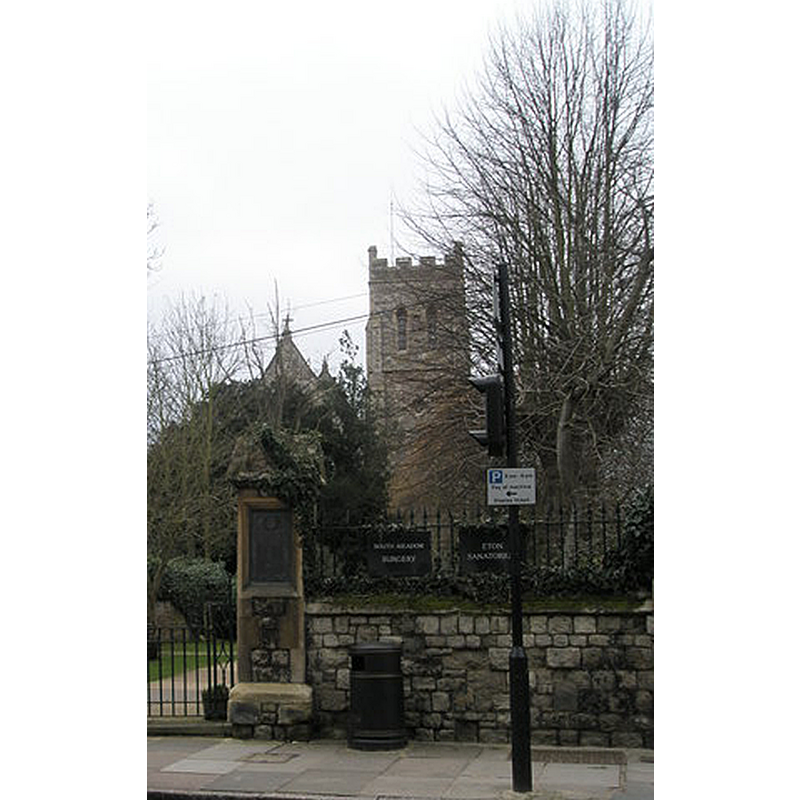
Image copyright © Basher Eyre, 2009
CC-BY-SA-2.0
Results: 3 records
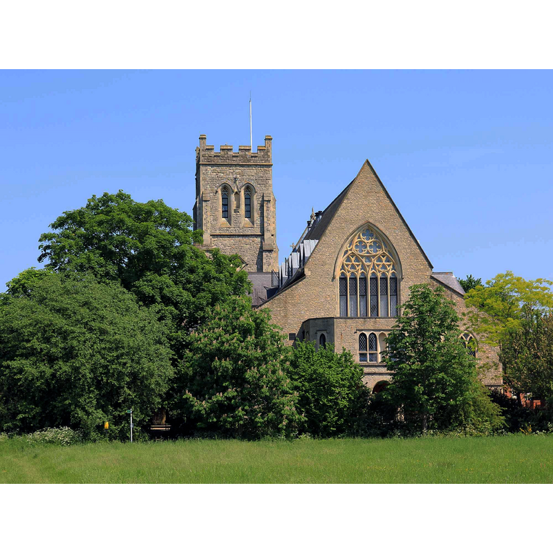
view of church exterior - west view
Scene Description: Source caption: "Local residents really do go and see their GP in the church, part of which is now a Medical Centre."
Copyright Statement: Image copyright © Basher Eyre, 2009
Image Source: digital photograph taken 17 February 2009 by Basher Eyre [www.geograph.org.uk/photo/1174484] [accessed 11 November 2015]
Copyright Instructions: CC-BY-SA-2.0
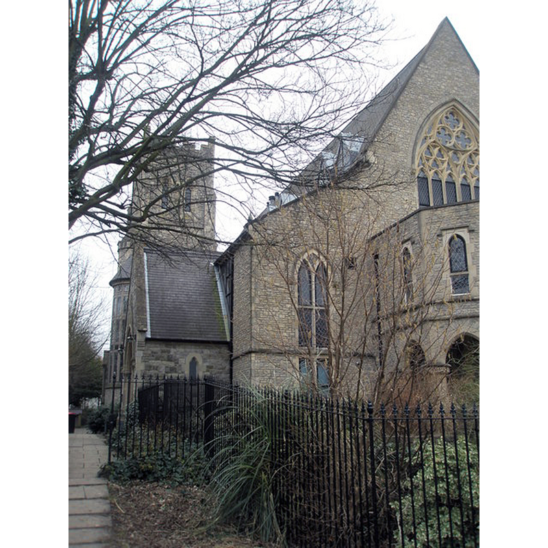
view of church exterior - east view
Scene Description: Source caption: "Converted for partial use as a medical facility for Eton College on the ground floor, with the upper floor being re-dedicated for public worship on 13th September 1991 by the Bishop of Buckingham, the Rt Revd Simon Burrows."
Copyright Statement: Image copyright © David P Howard, 2012
Image Source: digital photograph taken 27 May 2012 by David P Howard [www.geograph.org.uk/photo/2967088] [accessed 11 November 2015]
Copyright Instructions: CC-BY-SA-2.0
view of church exterior - southeast view
Copyright Statement: Image copyright © Basher Eyre, 2009
Image Source: digital photograph taken 17 February 2009 by Basher Eyre [www.geograph.org.uk/photo/1174537] [accessed 11 November 2015]
Copyright Instructions: CC-BY-SA-2.0
INFORMATION
Font ID: 17428ETO
Object Type: Baptismal Font1?
Font Century and Period/Style: 15th - 16th century, Late Medieval
Church / Chapel Name: Parish Church of St. John the Evangelist
Font Location in Church: [cf. FontNotes]
Church Patron Saint(s): St. John the Evangelist
Church Address: 10 Church Close, Eton, Windsor and Maidenhead SL4 6AS
Site Location: Berkshire, South East, England, United Kingdom
Directions to Site: Located S of the M4, 1 km NW of Windsor, 3 km S of Slough, 38 km WSW of London. The church is located off Hight St. [aka B3022]
Ecclesiastic Region: Diocese of Oxford
Historical Region: In Buckinghamshire until 1974 -- Hundred of Stoke
Additional Comments: disappeared font?
Font Notes:
Click to view
There is an entry for Eton [variant spelling] in the Domesday survey [http://opendomesday.org/place/?indexChar=E] [accessed 11 November 2015], but it mentions neither cleric nor church in it. Sheahan (1862) writes: "The parish church having been appropriated to the college, the chapel of the latter became parochial as well as collegiate. The parishioners attended Divine Service in the college until a Chapel-of-ease was built for them in the town [...] since the college was founded, the Provosts have been Rectors of the parish [...] The present church (St. John) was built in 1852-4 [...] the stone pulpit and the font are elegantly sculptured". The Victoria County History (Bucks., vol. 3, 1925) notes: "The church of Eton is mentioned in 1198 [...] The church of ST. JOHN THE EVANGELIST is a building of stone in early 14th-century style, and consists of a chancel with an aisle, a nave with aisles and north and east porches, and a tower at the east end with a spire; it was built in 1854"; the VCH (ibid.) does not mention a font in this church. [NB: the Chapel of St. Mary in the College had a font that was later moved to another parish church [cf. Index entry for Eton College]]
COORDINATES
UTM: 30U 665823 5706825
Latitude & Longitude (Decimal): 51.488225, -0.611525
Latitude & Longitude (DMS): 51° 29′ 17.61″ N, 0° 36′ 41.49″ W
REFERENCES
- Victoria County History [online], University of London, 1993-. URL: https://www.british-history.ac.uk.
- Sheahan, James Joseph, History and topography of Buckinghamshire, comprising a general survey of the county, preceded by an epitome of the early history of Great Britain, London; Pontefract: Longman, Green, Longman, and Roberts; William Edward Bonas [...], 1862, p. 863