Mursley / Morselee / Mureslai / Muresley / Muselai
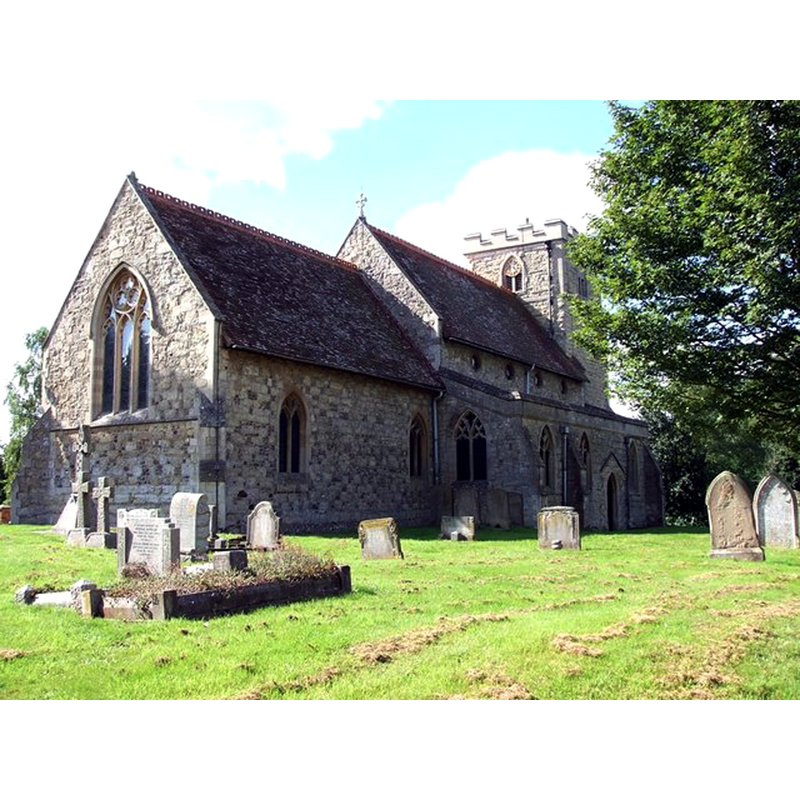
Image copyright © Rob Farrow, 2006
CC-BY-SA-2.0
Results: 1 records
view of church exterior - northeast view
Copyright Statement: Image copyright © Rob Farrow, 2006
Image Source: digital photograph taken 7 September 2006 by Rob Farrow [www.geograph.org.uk/photo/235276] [accessed 20 November 2015]
Copyright Instructions: CC-BY-SA-2.0
INFORMATION
Font ID: 17413MUR
Object Type: Baptismal Font1
Font Century and Period/Style: 12th century, Norman
Church / Chapel Name: Parish Church of St. Mary the Virgin
Font Location in Church: [cf. FontNotes]
Church Patron Saint(s): St. Mary the Virgin
Church Address: 8 Church Lane, Mursley, Buckinghamshire MK17 0RT
Site Location: Buckinghamshire, South East, England, United Kingdom
Directions to Site: Located 5 km E of Winslow, 6 km SW of Fenny Stratford
Ecclesiastic Region: Diocese of Oxford
Historical Region: Hundred of Mursley [in Domesday] -- Hundred of Cottesloe
Additional Comments: disappeared font? (the one from the 12thC church here)
Font Notes:
Click to view
There are three entries for Mursley [variant spelling] in the Domesday survey [http://opendomesday.org/place/SP8128/mursley/] [accessed 20 November 2015], none of which mentions cleric or church in it. Sheahan (1862) notes: "the font is octagonal and plain", and this may have been a medieval (?) font, since the renovation of this church was still five years into the future at the time of Sheahan's visit. The Victoria County History (Buckingham, vol. 3, 1925) notes on the church here: "The church of Mursley was granted by Richard Fitz Niel to the Prioress of Nuneaton before the year 1166. [...] The [present] building, which is of stone with a tiled roof, dates apparently from about the middle of the 14th century, the tower being added rather later. There was a complete restoration in 1867" [NB: there is no mention of a font in the VCH -- we have no information on the whereabouts of the font of the 12th-century church here]
COORDINATES
UTM: 30U 650322 5757626
Latitude & Longitude (Decimal): 51.949004, -0.812688
Latitude & Longitude (DMS): 51° 56′ 56.41″ N, 0° 48′ 45.68″ W
MEDIUM AND MEASUREMENTS
Material: stone
Font Shape: octagonal
Basin Exterior Shape: octagonal
REFERENCES
- Victoria County History [online], University of London, 1993-. URL: https://www.british-history.ac.uk.
- Sheahan, James Joseph, History and topography of Buckinghamshire, comprising a general survey of the county, preceded by an epitome of the early history of Great Britain, London; Pontefract: Longman, Green, Longman, and Roberts; William Edward Bonas [...], 1862, p. 723