Ripley
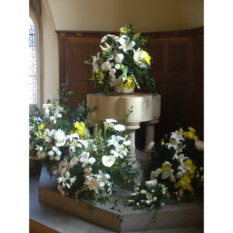
Image copyright © Colin Smith, 2011
Standing permission
Results: 2 records
view of font and cover
Scene Description: the modern font
Copyright Statement: Image copyright © Colin Smith, 2011
Image Source: digital photograph taken May 2011 by Colin Smith
Copyright Instructions: Standing permission
view of church exterior - northwest view
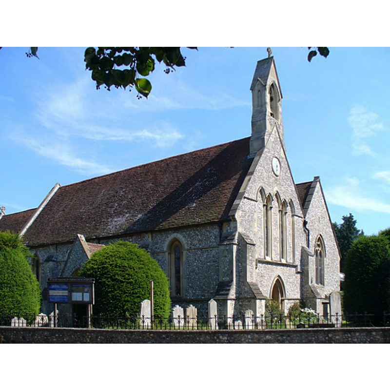
Scene Description: Source caption: "St Mary Magdalen, Ripley. Norman, flint-walled parish church on the southern side of Ripley's High Street."
Copyright Statement: Image copyright © Colin Smith, 2007
Image Source: digital photograph taken 5 August 2007 by Colin Smith [www.geograph.org.uk/photo/518372] [accessed 17 December 2015]
Copyright Instructions: CC-BY-SA-2.0
INFORMATION
Font ID: 17401RIP
Object Type: Baptismal Font1?
Font Date: ca. 1160?
Font Century and Period/Style: 12th century (mid?), Late Norman
Church / Chapel Name: Parish Church of St. Mary Magdalen
Font Location in Church: [cf. FontNotes]
Church Patron Saint(s): St. Mary Magdalene
Church Address: Hight Street, Ripley, Surrey, GU23 6AE
Site Location: Surrey, South East, England, United Kingdom
Directions to Site: Located on the B2215, off (W) the A3 [Ripley by pass], NE of Guildford
Ecclesiastic Region: Diocese of Guildford
Additional Comments: disappeared font? (the one from the ca.1160 church here)
Font Notes:
Click to view
No entry found for this Ripley in the Domesday survey. The Victoria County History (Surrey, vol. 3, 1911) notes: "The chapel at Ripley was granted to Newark Priory by Ruald de Calva [temp. Richard I (1189-1199)] [...] was rebuilt in 1845–6, except the chancel, which dates from about 1160 [...] The roofs are all modern, as are the altar, pulpit, font, &c." The present font is modern: a cylindrical basin with four cylindrical capital-like protrusions at 90-degree angles that rest on colonnettes with moulded caps and bases; wooden cover is flat and round, plain, also modern. [NB: we have no information on the medieval font from this church]
Credit and Acknowledgements: We are grateful to Colin Smith for his photograph of the modern font
COORDINATES
UTM: 30U 674768 5686071
Latitude & Longitude (Decimal): 51.299093, -0.493018
Latitude & Longitude (DMS): 51° 17′ 56.74″ N, 0° 29′ 34.87″ W
REFERENCES
- Victoria County History [online], University of London, 1993-. URL: https://www.british-history.ac.uk.