Woughton-on-the-Green / Aston super le Greene / Ulchetone / Wocton / Woketon / Wokington super the Green / Wotton on the Green / Woughton on he Green /
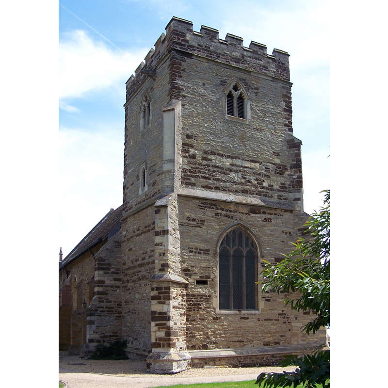
Image copyright © Chris Nyborg, 2006
CC-BY-SA-3.0
Results: 2 records
view of church exterior - northwest view
Copyright Statement: Image copyright © Chris Nyborg, 2006
Image Source: digital photograph taken 16 July 2006 by Chris Nyborg [https://commons.wikimedia.org/wiki/File:MK_StMaryschurch_WoughtonontheGreen04.JPG] [accessed 8 March 2016]
Copyright Instructions: CC-BY-SA-3.0
view of church exterior - southeast view
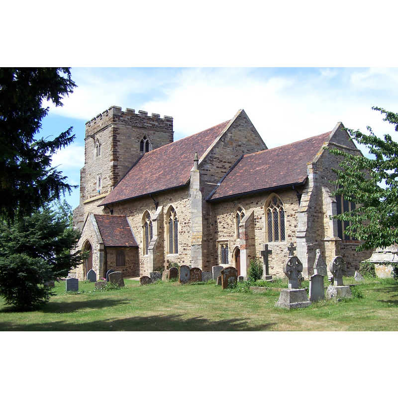
Copyright Statement: Image copyright © Chris Nyborg, 2006
Image Source: digital photograph taken 16 July 2006 by Chris Nyborg [https://commons.wikimedia.org/wiki/File:MK_StMaryschurch_WoughtonontheGreen01.JPG] [accessed 8 March 2016]
Copyright Instructions: CC-BY-SA-3.0
INFORMATION
Font ID: 17395WOU
Object Type: Baptismal Font1
Font Century and Period/Style: 13th century [basin only] [composite font], Early English
Church / Chapel Name: Parish Church of the Assumption of the Blessed Virgin
Font Location in Church: Inside the church
Church Patron Saint(s): The Assumption of St. Mary
Church Address: 9 Newport Road, Woughton On The Green, Milton Keynes MK6 3BS
Site Location: Buckinghamshire, South East, England, United Kingdom
Directions to Site: Located off (E) the A5, in the N area of Milton Keynes
Ecclesiastic Region: Diocese of Oxford
Historical Region: Hundred of Seckley [in Domesday] -- Hundred of Newport
Additional Comments: re-cycled font: orig. from the disappeared church; re-used in the later church through the present -- town name is prononunced /'wʌftən/ wuf-tən
Font Notes:
Click to view
There are two entries for Woughton [on the Green] [variant spelling] in the Domesday survey [http://opendomesday.org/place/SP8737/woughton-on-the-green/] [accessed 8 March 2016], neither of which mentions cleric or church in it. Sheahan (1862) reports a plain font in this church without an indication of its date; the church building itself is described as "Decorated Gothic". The Victoria County History (Buckingham, vol. 4, 1927) notes: "The church appears to have been reconstructed and enlarged in the first half of the 14th century [...] The west tower was built early in the 15th century. The north vestry was added in 1867 and the organ chamber in 1891 [...] The font has a tub-shaped bowl of the 13th century." The Parish web site [www.woughton.org/churches/st_marys/building.htm#stmarys_font] has: "The Font is Saxon, with a beautiful Victorian wooden counter-weighted cover [...] The Font is in this position near the door".
COORDINATES
UTM: 30U 657015 5766097
Latitude & Longitude (Decimal): 52.02325, -0.7115
Latitude & Longitude (DMS): 52° 1′ 23.7″ N, 0° 42′ 41.4″ W
MEDIUM AND MEASUREMENTS
Material: stone
Font Shape: tub-shaped
Basin Interior Shape: round
Basin Exterior Shape: round
LID INFORMATION
Date: 19th-century?
Material: wood
Apparatus: yes; counter-weight
Notes: [cf. FontNotes]
REFERENCES
- Victoria County History [online], University of London, 1993-. URL: https://www.british-history.ac.uk.
- Sheahan, James Joseph, History and topography of Buckinghamshire, comprising a general survey of the county, preceded by an epitome of the early history of Great Britain, London; Pontefract: Longman, Green, Longman, and Roberts; William Edward Bonas [...], 1862, p. 653