Henllan nr. Denbigh
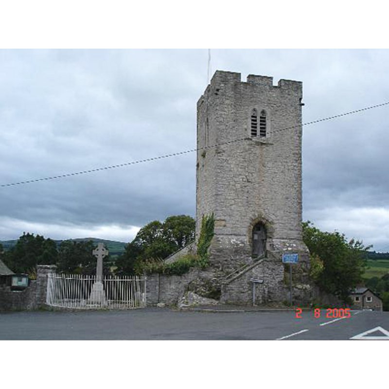
Image copyright © Dot Potter, 2005
CC-BY-SA-3.0
Results: 4 records
view of church exterior - tower
Scene Description: the detached tower of the church
Copyright Statement: Image copyright © Dot Potter, 2005
Image Source: digital photograph taken 2 August 2005 by Dot Potter [www.geograph.org.uk/photo/32701]
Copyright Instructions: CC-BY-SA-3.0
view of church exterior - east end
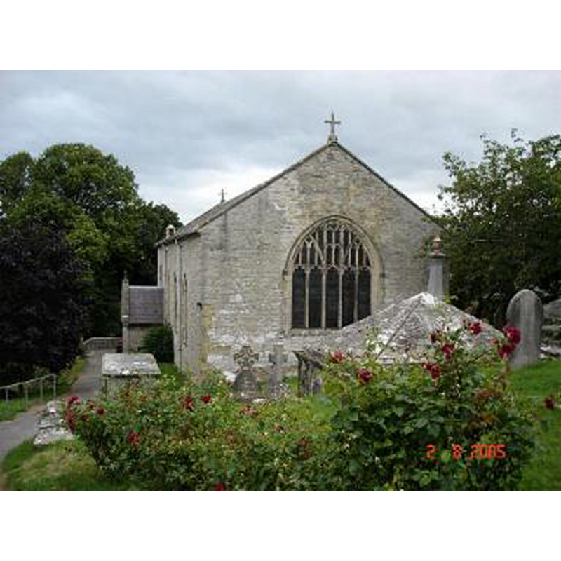
Copyright Statement: Image copyright © Dot Potter, 2005
Image Source: digital photograph taken 2 August 2005 by Dot Potter [www.geograph.org.uk/photo/32732]
Copyright Instructions: CC-BY-SA-3.0
view of church interior - nave - looking east
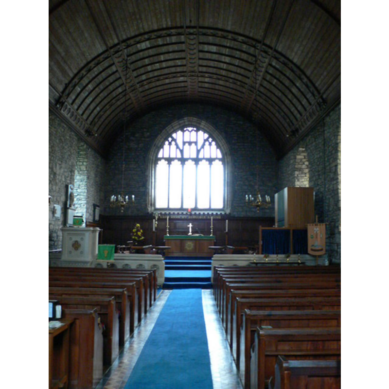
Copyright Statement: Image copyright © Eirian Evans, 2007
Image Source: digital photograph taken 26 October 2007 by Eirian Evans [www.geograph.org.uk/photo/595447]
Copyright Instructions: CC-BY-SA-3.0
view of basin

Scene Description: in the churchyard since 1989
Copyright Statement: Image copyright © jmc4, 2009
Image Source: digital photograph taken 17 March 2009 by jmc4-Church Explorer [www.flickr.com/photos/52219527@N00/3532489989/in/pool-366505@N23/]
Copyright Instructions: PERMISSION NOT AVAILABLE -- IMAGE NOT FOR PUBLIC USE
INFORMATION
Font ID: 17374HEN
Object Type: Baptismal Font1
Font Century and Period/Style: Medieval [composite]
Church / Chapel Name: Parish Church of St. Sadwrn
Font Location in Church: [cf. FontNotes]
Church Patron Saint(s): St. Sadwrn [aka Saturnas, local hermit]
Church Notes: the church has a detached bell tower
Church Address: Church Street, Henllan, Denbigh LL16 5BD, Wales, UK
Site Location: Denbighshire, Wales, United Kingdom
Directions to Site: Located 4 km NW of Denbigh
Additional Comments: disused font; original base missing
Font Notes:
Click to view
The Wales Directory site [www.walesdirectory.co.uk] notes: "The original church was demolished in 1806 and the current larger church was built on the same site [...] The tower is separate from the main church building [...] by some 20 yards [...] the stone medieval font had gone missing and has now been returned to the churchyard of St Sadwrn's". The old basin stands now [March 2009] in the churchyard, raised on a made-up base bearing a plaque that reads: "Medieval font removed from the church 1854; recovered and resited adjacent to the medieval pillar; July 1989". The octagonal basin appears now totally plain and may have been used as a farm trough to judge by the spout created in the upper rim.
COORDINATES
UTM: 30U 469050 5894743
Latitude & Longitude (DMS): 53° 12′ 27.59″ N, 3° 27′ 67.19″ W
MEDIUM AND MEASUREMENTS
Material: stone
Font Shape: octagonal, mounted
Basin Interior Shape: round
Basin Exterior Shape: octagonal
Drainage System: centre hole in basin
Drainage Notes: no lining [may have been lost]