Great Linford / Linford Great / Linford Magna / Linforda / Linforde / Lyndeforde Magna / Magna Lufford / Mechel Lyngford / Moche Lynforde
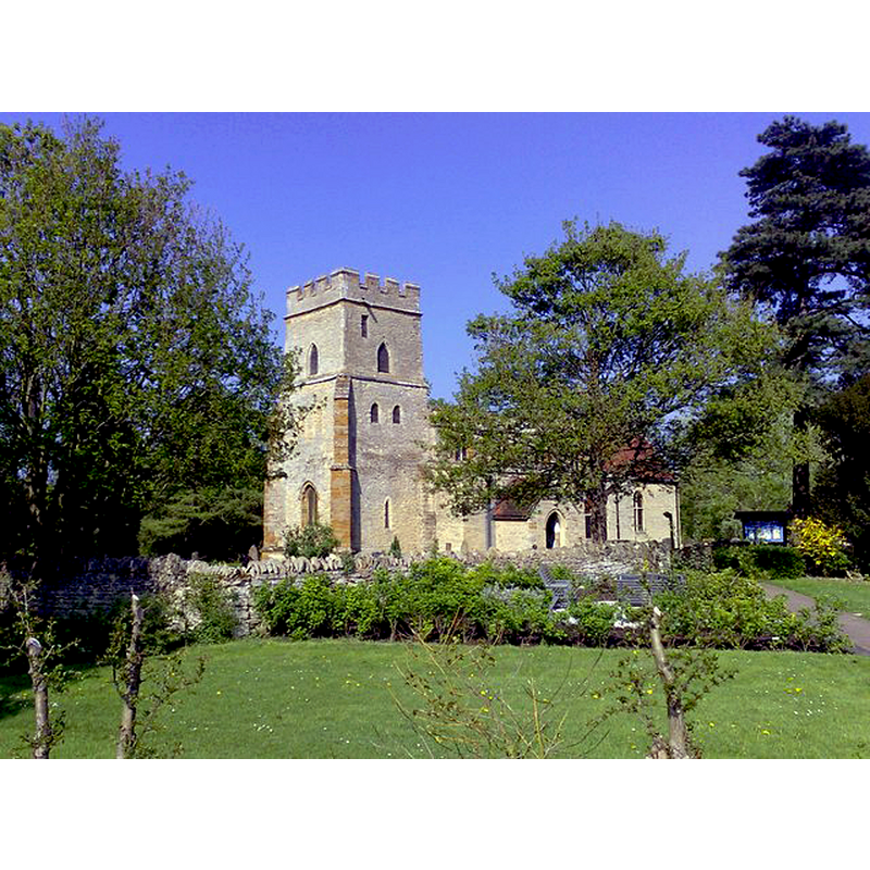
Image copyright © mick finn, 2009
CC-BY-SA-2.0
Results: 2 records
view of church exterior - southwest view
Copyright Statement: Image copyright © mick finn, 2009
Image Source: digital photograph taken 19 April 2009 by mick finn [www.geograph.org.uk/photo/1272969] [accessed 23 February 2016]
Copyright Instructions: CC-BY-SA-2.0
view of church exterior - southeast view
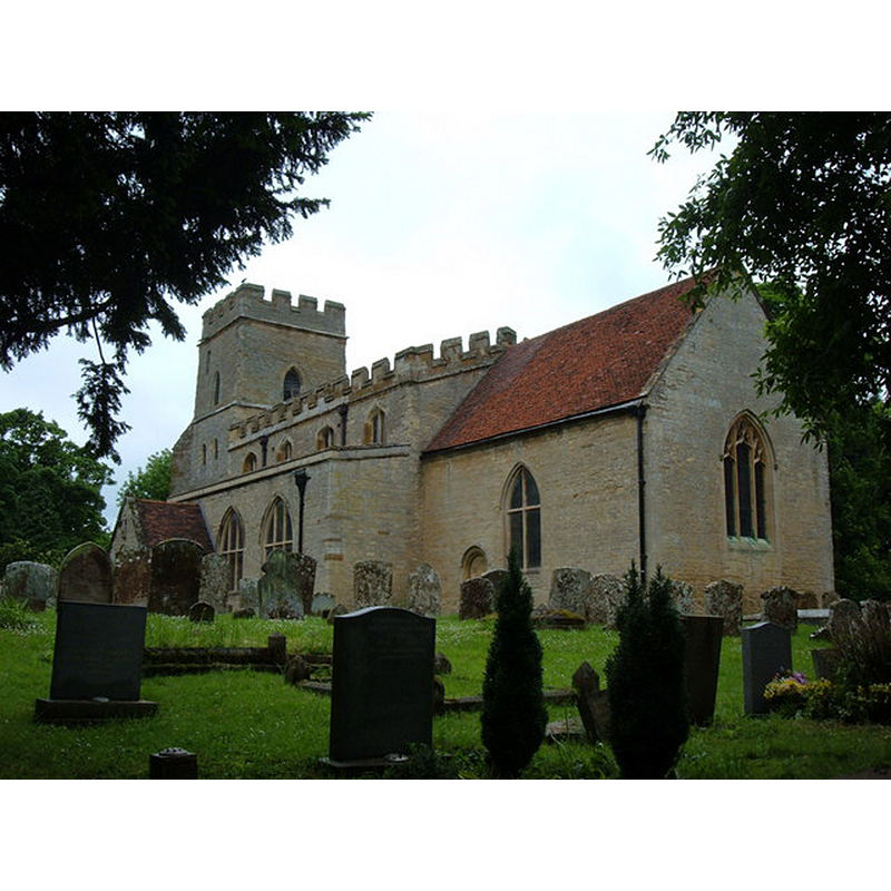
Copyright Statement: Image copyright © Mr Biz, 2008
Image Source: digital photograph taken 27 May 2008 by Mr Biz [www.geograph.org.uk/photo/818988] [accessed 23 February 2016]
Copyright Instructions: CC-BY-SA-2.0
INFORMATION
Font ID: 17358LIN
Object Type: Baptismal Font1?
Font Date: ca. 1250?
Font Century and Period/Style: 13th century (mid?), Early English? / Decorated?
Church / Chapel Name: Parish Church of St. Andrew
Font Location in Church: [cf. FontNotes]
Church Patron Saint(s): St. Andrew
Church Address: Parklands, Great Linford, Milton Keynes MK14 5AX
Site Location: Buckinghamshire, South East, England, United Kingdom
Directions to Site: Located off (W) the M1, just N of Milton Keynes, between Wolverton and Newport Pagnell
Ecclesiastic Region: Diocese of Oxford
Historical Region: Hundred of Seckley [in Domesday] -- Hundred of Newport
Additional Comments: disappeared font? (the one from the ca. 1250 church here)
Font Notes:
Click to view
There are four entries for [Great] Linford [variant spelling] in the Domesday survey [http://opendomesday.org/place/SP8542/great-linford/] [accessed 23 February 2016], none of which mentions cleric or church in it. Sheahan (1862) reports a church "in the Early Decorated style, but [...] very much disfigured [...] The font is a small marble vase on a pedestal of wood." The Victoria County History (Buckingham, vol. 4, 1927) notes: "The present church was built about 1250, and to this date belong the nave and the two lower stages of the tower; the chancel and south aisle, though considerably altered, probably date from this time", with extensive repairs and renovations in 1708 and 1884-1885; it reports a modern font in the church. [NB: we have no information on the medieval font].
COORDINATES
UTM: 30U 654225 5770842
Latitude & Longitude (Decimal): 52.0726292, -0.7602185
Latitude & Longitude (DMS): 52° 4' 21" N, 0° 45' 36" E
REFERENCES
- Victoria County History [online], University of London, 1993-. URL: https://www.british-history.ac.uk.
- Sheahan, James Joseph, History and topography of Buckinghamshire, comprising a general survey of the county, preceded by an epitome of the early history of Great Britain, London; Pontefract: Longman, Green, Longman, and Roberts; William Edward Bonas [...], 1862, p. 559