East Claydon / Claindone / Claydon East / Estcleydone
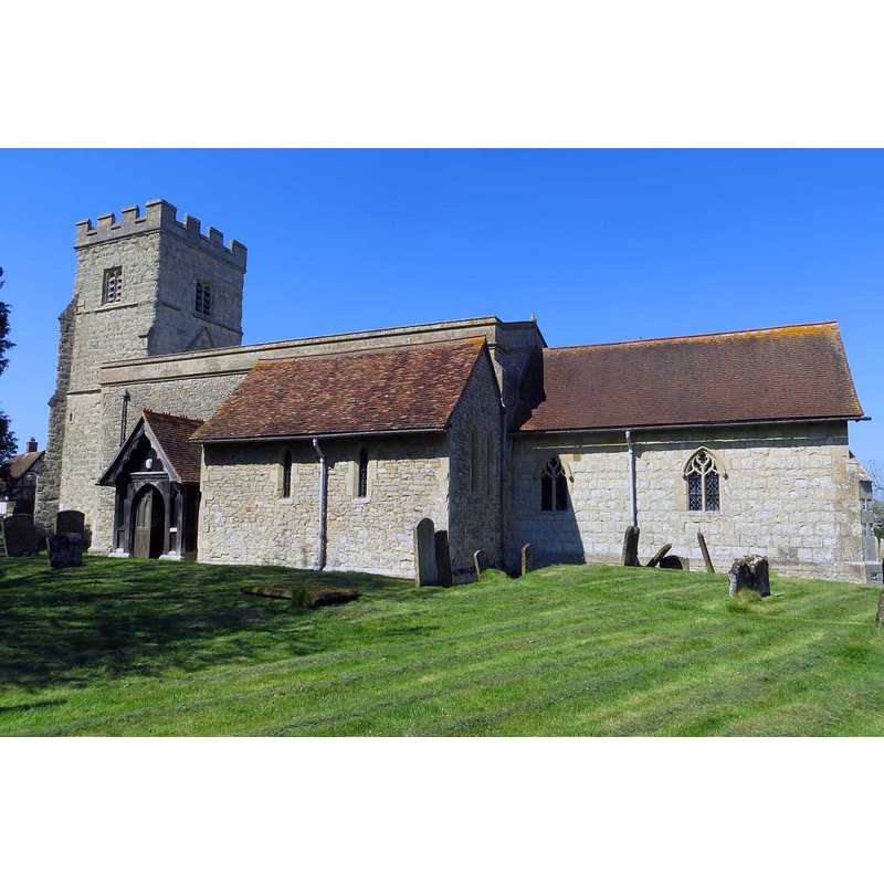
Image copyright © Steve Daniels, 2015
CC-BY-SA-2.0
Results: 1 records
view of church exterior - south view
Copyright Statement: Image copyright © Steve Daniels, 2015
Image Source: digital photograph taken 21 April 2015 by Steve Daniels [www.geograph.org.uk/photo/4485091] [accessed 3 December 2015]
Copyright Instructions: CC-BY-SA-2.0
INFORMATION
Font ID: 17332CLA
Object Type: Baptismal Font1
Font Century and Period/Style: 15th century, Perpendicular
Church / Chapel Name: Parish Church of St. Mary the Virgin
Font Location in Church: Inside the church
Church Patron Saint(s): St. Mary the Virgin
Church Address: 19 Church Way, East Claydon, Buckinghamshire MK18 2NB
Site Location: Buckinghamshire, South East, England, United Kingdom
Directions to Site: Located 4 km SW of Winslow
Ecclesiastic Region: Diocese of Oxford
Historical Region: Hundred of Ashendon
Additional Comments: altered font? (much restored present 15thC font) -- disappeared font? (the one from the original early-13thC church here)
Font Notes:
Click to view
No entry found for East Claydon in the Domesday survey. Lipscomb (1831- ) writes: "The font is ancient, and octagonal, supported by a pillar, on a circular plinth." In Sheahan (1862), after Lipscomb. The Victoria County History (Buckingham, vol. 4, 1927) notes: "The earliest part of the church, which at the beginning of the 13th century consisted of an aisleless nave and chancel, is the western half of the south wall of the nave. No details, however, of earlier date than the 13th century are to be seen. The south chapel was added to the nave about 1230, and the chancel was rebuilt about 1350. Towards the end of the 15th century, or a little later, the nave was widened northwards, thus being thrown out of centre with the chancel, while the tower, which is on the same axis as the nave, seems to have been added at the same time. [...] The plain octagonal font is of the 15th century." [NB: we have no information on the font from the 13th-century church].
COORDINATES
UTM: 30U 642632 5754550
Latitude & Longitude (Decimal): 51.923386, -0.925774
Latitude & Longitude (DMS): 51° 55′ 24.19″ N, 0° 55′ 32.78″ W
MEDIUM AND MEASUREMENTS
Material: stone
Font Shape: octagonal, mounted
Basin Interior Shape: round
Basin Exterior Shape: octagonal
REFERENCES
- Victoria County History [online], University of London, 1993-. URL: https://www.british-history.ac.uk.
- Lipscomb, George, The History and Antiquities of the County of Buckingham, London: J.B. Nichols, 1831-1843, vol. 1: 172
- Sheahan, James Joseph, History and topography of Buckinghamshire, comprising a general survey of the county, preceded by an epitome of the early history of Great Britain, London; Pontefract: Longman, Green, Longman, and Roberts; William Edward Bonas [...], 1862, p. 357