Hartwell nr. Aylesbury / Herdeuuelle / Herdewelle Hertwell
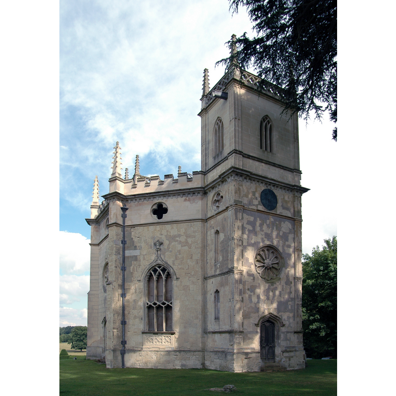
Image copyright © rbirkby, 2008
CC-BY-SA-2.0
Results: 1 records
view of church exterior - northwest view
Copyright Statement: Image copyright © rbirkby, 2008
Image Source: digital photograph taken 5 August 2008 by rbirkby [https://en.wikipedia.org/wiki/File:Hartwell_church,_Buckinghamshire.JPG] [accessed 24 September 2015]
Copyright Instructions: CC-BY-SA-2.0
INFORMATION
Font ID: 17315HAR
Object Type: Baptismal Font1
Font Century and Period/Style: 15th century (late?), Perpendicular
Church / Chapel Name: Church of the Assumption of the Blessed Virgin [redundant]
Font Location in Church: [cf. FontNotes]
Church Patron Saint(s): The Assumption of St. Mary
Church Address: Hartwell House, off Oxford Road, Hartwell, Aylesbury, Buckinghamshire, HP17 8NR
Site Location: Buckinghamshire, South East, England, United Kingdom
Directions to Site: Located near Stone, 3 km SW of Aylesbury
Ecclesiastic Region: Diocese of Oxford
Historical Region: Hundred of Stones]
Additional Comments: disappeared font? (the one from the original 15thC church here)
Font Notes:
Click to view
There are six entries for this Hartwell [variant spelling] in the Domesday survey [http://opendomesday.org/place/SP7912/hartwell/] [accessed 24 September 2015], none of which mentions cleric or church in it, except for "Wulmer the priest" who was lord of one of the parts in 1066, but not in 1086. Sheahan (1862) writes: "The Church, dedicated in honour of the Assumption of the Blessed Virgin, stands in the park, a short distance from the Mansion House, and is an elegant structure, re-erected in 1755 by the late Sir William Lee [...] The old church [...] had apparently been erected about the time of Richard III [i.e., 1483-1485] [...] The font is a vase of elegant form." [NB: we have no information on the font from the late-medieval church]
COORDINATES
UTM: 30U 648327 5741561
Latitude & Longitude (Decimal): 51.8052, -0.8486
Latitude & Longitude (DMS): 51° 48′ 18.72″ N, 0° 50′ 54.96″ W
REFERENCES
- Victoria County History [online], University of London, 1993-. URL: https://www.british-history.ac.uk.
- Sheahan, James Joseph, History and topography of Buckinghamshire, comprising a general survey of the county, preceded by an epitome of the early history of Great Britain, London; Pontefract: Longman, Green, Longman, and Roberts; William Edward Bonas [...], 1862, p. 159