Little Hampden / Hambden / Hamdena / Hampden Parva / Parva Hamdene
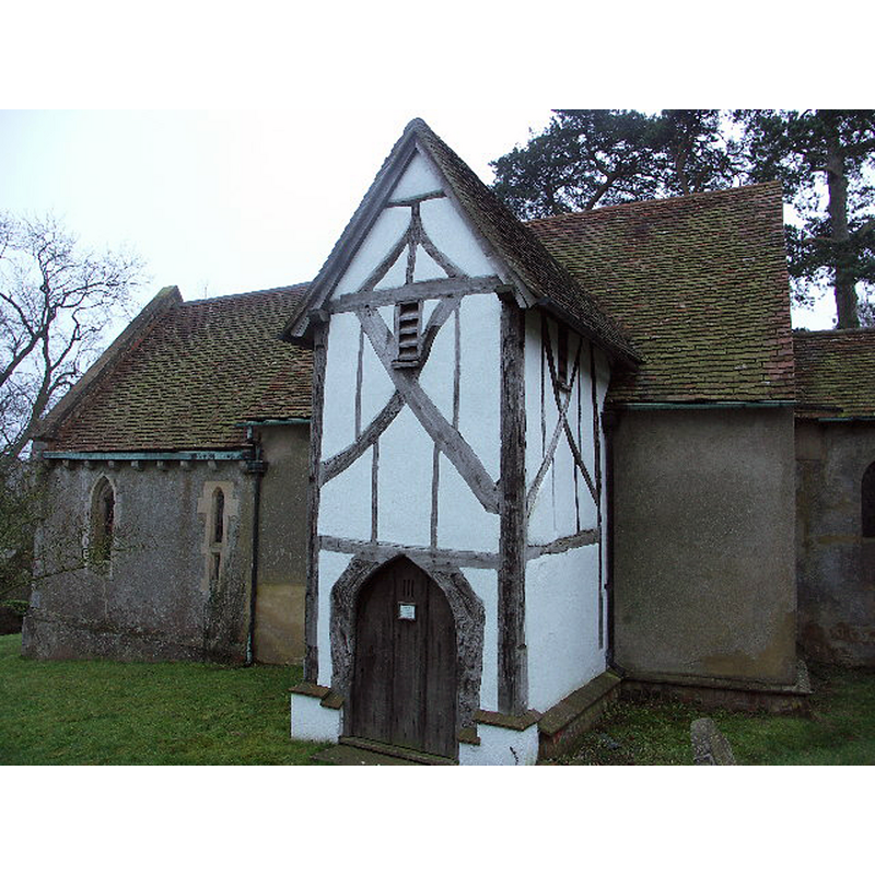
Image copyright © David Ellis, 2006
CC-BY-SA-2.0
Results: 1 records
view of church exterior - north view
Scene Description: Source caption: "15th century timber-framed porch".
Copyright Statement: Image copyright © David Ellis, 2006
Image Source: digital photograph taken 4 January 2006 by David Ellis [www.geograph.org.uk/photo/102261] [accessed 24 September 2015]
Copyright Instructions: CC-BY-SA-2.0
INFORMATION
Font ID: 17314HAM
Object Type: Baptismal Font1
Church / Chapel Name: Little Hampden Parish Church
Font Location in Church: [cf. FontNotes]
Church Notes: wall paintings in the nave, some going back to the late13th century
Church Address: Little Hampden, Buckinghamshire, HP16 9PS
Site Location: Buckinghamshire, South East, England, United Kingdom
Directions to Site: Located near Great Hampden, 5 km SE of Princes Risborough
Ecclesiastic Region: Diocese of Oxford
Historical Region: Hundred of Aylesbury [in Domesday] -- Hundred of Stone
Additional Comments: disappeared fonts? (the one from the 12thC (?) church here)
Font Notes:
Click to view
There is an entry for [Great and Little] Hampden [variant spelling] in the Domesday survey [http://opendomesday.org/place/XX0000/great-and-little-hampden/] [accessed 24 September 2015], but it mentions neither cleric nor church in it. Sheahan (1862) writes: "The font is of octagonal form, and good design, but it is composed only of cement." The Victoria County History (Buckingham, vol. 2, 1908) notes: "The church of Little Hampden was appendant to the church of Hartwell. [...] The walling of the nave may be of the 12th century, and a carved fragment of that date is set in the chancel wall, but there is nothing in the architectural features to prove that any part of the structure is earlier than the 13th century [...] The font is of 18th-century date, with a small round basin upon a slim baluster stem". [NB: the two fonts noted by Sheahan and the VCH are obviously not the same; we have no information on the whereabouts of either of those fonts, or of the medieval font [NB: a font of cement?]]
COORDINATES
UTM: 30U 654969 5732679
Latitude & Longitude (Decimal): 51.7236, -0.7563
Latitude & Longitude (DMS): 51° 43′ 24.96″ N, 0° 45′ 22.68″ W
REFERENCES
- Victoria County History [online], University of London, 1993-. URL: https://www.british-history.ac.uk.
- Sheahan, James Joseph, History and topography of Buckinghamshire, comprising a general survey of the county, preceded by an epitome of the early history of Great Britain, London; Pontefract: Longman, Green, Longman, and Roberts; William Edward Bonas [...], 1862, p. 149