St. Leonards / Aston Clinton-cum-St. Leonards / Cholesbury-cum-St. Leonards
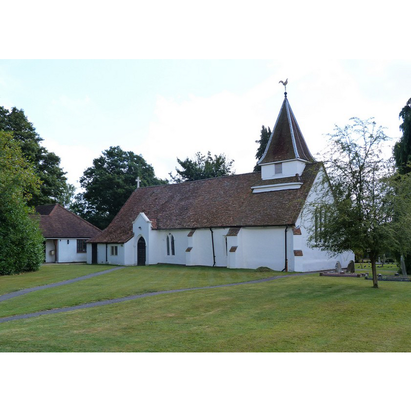
Image copyright © Julian Osley, 2014
CC-BY-SA-2.0
Results: 2 records
view of church exterior - northwest view
Copyright Statement: Image copyright © Julian Osley, 2014
Image Source: digital photograph taken 7 August 2014 by Julian Osley [www.geograph.org.uk/photo/4111696] [accessed 16 November 2015]
Copyright Instructions: CC-BY-SA-2.0
view of church exterior - south view
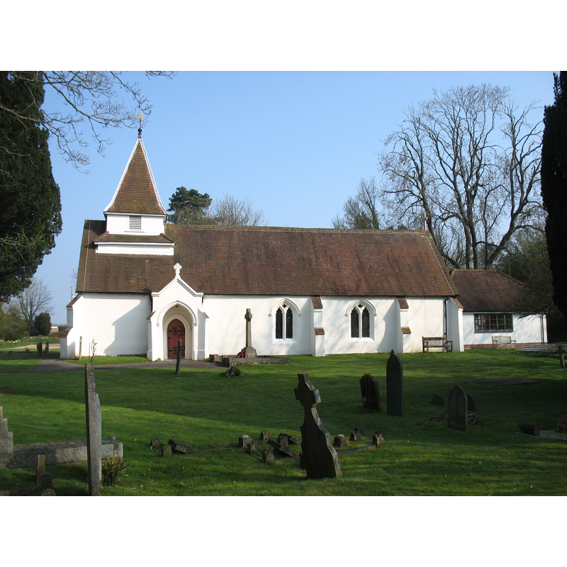
Copyright Statement: Image copyright © David Purchase, 2015
Image Source: digital photograph taken 9 April 2015 by David Purchase [www.geograph.org.uk/photo/4424963] [accessed 16 November 2015]
Copyright Instructions: CC-BY-SA-2.0
INFORMATION
Font ID: 17312LEO
Object Type: Baptismal Font1?
Font Date: ca. 1845?
Font Century and Period/Style: 15th century, Perpendicular
Church / Chapel Name: Church of St. Leonard [aka Chapel of St. Leonard]
Font Location in Church: [cf. FontNotes]
Church Patron Saint(s): St. Leonard
Church Notes: original chapel-of-ease to Aston Clinton; probably 15thC [English Heritage Listing NGR: SP9099807065 (1958)]
Church Address: Chapel Lane, Cholesbury-cum-St Leonards, Buckinghamshire HP23 6NW
Site Location: Buckinghamshire, South East, England, United Kingdom
Directions to Site: Located 5 km E of Wendower, 6 km S of Aston Clinton, 7 km S of Tring (Herts.)
Ecclesiastic Region: Diocese of Oxford
Historical Region: Hundred of Cottesloe [in Domesday]
Additional Comments: disappeared font? (the one from the 15thC chapel-of-ease here)
Font Notes:
Click to view
No entry found for St. Leonards in the Domesday survey. Sheahan (1862) notes that this edifice was probably built on the site of "a Hermitage or Cell "belonging to the Abbey of Missenden. It is probable that it was originally a Chantry Chapel supplied by the monks of Missenden", and adds that the church was restored in 1845-1846, with "a stone font and oak cover of pyramidal form" being presented at that time by Robert Fox, one of the trustees. [NB: we have no information on whether or not a font existed in this chapel-of-ease previously; many of these chapels did].
COORDINATES
UTM: 30U 659819 5736248
Latitude & Longitude (Decimal): 51.7543, -0.6845
Latitude & Longitude (DMS): 51° 45′ 15.48″ N, 51° 45′ 15.48″ N, 0° 41′ 4.2″ W
0° 41′ 4.2″ W