Thornborough / Thornborowe / Tornburuwe / Torneberge
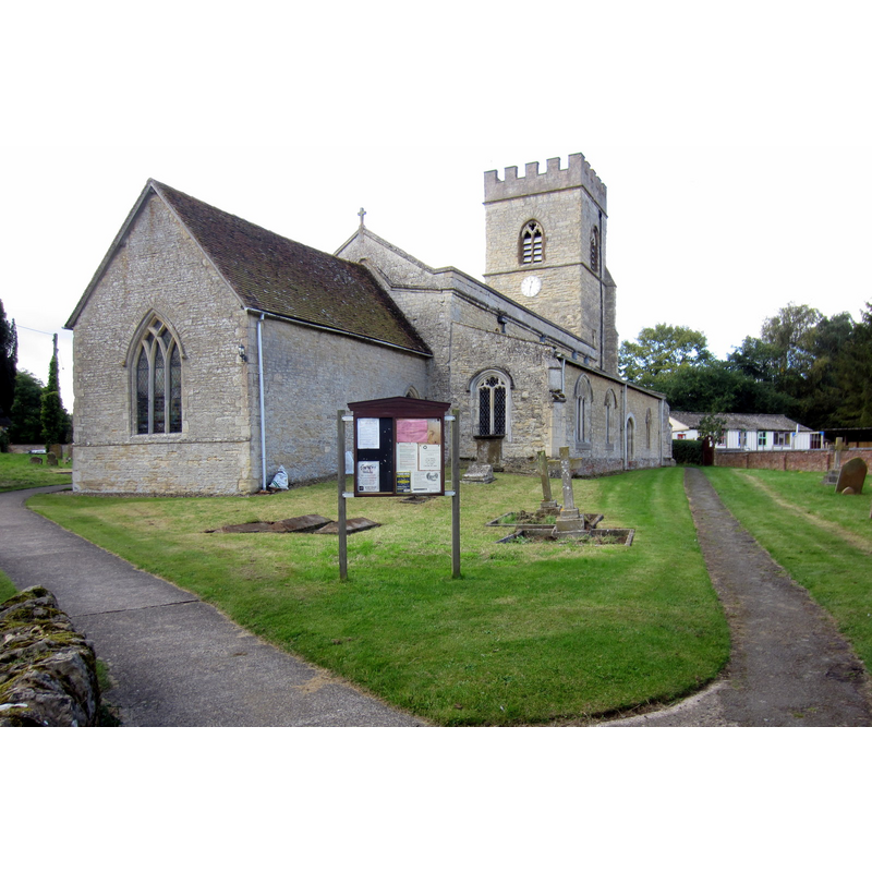
Image copyright © Philip Jeffrey, 2012
CC-BY-SA-2.0
Results: 2 records
view of church exterior - northeast view
Copyright Statement: Image copyright © Philip Jeffrey, 2012
Image Source: digital photograph taken 2 October 2012 by Philip Jeffrey [www.geograph.org.uk/photo/3159819] [accessed 26 January 2016]
Copyright Instructions: CC-BY-SA-2.0
view of church exterior - south view
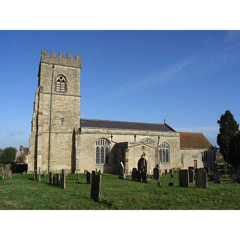
Copyright Statement: Image copyright © Andrew Smith, 2007
Image Source: digital photograph taken 11 February 2007 by Andrew Smith [www.geograph.org.uk/photo/337732] [accessed 26 January 2016]
Copyright Instructions: CC-BY-SA-2.0
INFORMATION
Font ID: 17305THO
Object Type: Baptismal Font1
Font Century and Period/Style: 12th century, Late Norman
Church / Chapel Name: Parish Church of St. Mary
Font Location in Church: [cf. FontNotes]
Church Patron Saint(s): St. Mary the Virgin
Church Address: Church Lane, Thornborough, Buckinghamshire MK18 2DF
Site Location: Buckinghamshire, South East, England, United Kingdom
Directions to Site: Located off (N) the A421, 6 km E of Buckingham
Ecclesiastic Region: Diocese of Oxford
Historical Region: Hundred of Mow [in Domesday] -- Hundred of Buckingham
Additional Comments: disappeared font? (the one from the mid-to-late 12thC here?)
Font Notes:
Click to view
There is an entry for this Thornborough [variant spelling] in the Domesday survey [http://opendomesday.org/place/SP7433/thornborough/] [accessed 26 January 2016], but it mentions neither cleric nor church in it. Sheahan (1862) reports: "the font is large and plain". The Victoria County History (Buckingham, vol. 4, 1927) notes: "The earliest mention of the church of Thornborough is the grant of it made by Hamo son of Meinfelin to Luffield Priory in the reign of Henry II [i.e., 1154-1189] [...] Some herring-bone masonry in the south wall of the nave indicates the existence of a church here in the 12th century consisting of the present nave and probably a small chancel [...] The font is modern." [NB: Sheahan (ibid.) reports that the church "underwent considerable repairs and restorations" in 1860, but does not indicate whether the font he saw and reported was modern or not].
COORDINATES
UTM: 30U 642926 5762740
Latitude & Longitude (DMS): 51° 59′ 45.19″ N, 0° 55′ 09.24″ W
REFERENCES
- Victoria County History [online], University of London, 1993-. URL: https://www.british-history.ac.uk.
- Sheahan, James Joseph, History and topography of Buckinghamshire, comprising a general survey of the county, preceded by an epitome of the early history of Great Britain, London; Pontefract: Longman, Green, Longman, and Roberts; William Edward Bonas [...], 1862, p. 312