Steeple Claydon / Claindon / Claindone / Claydon Steeple / Stepul Claydone
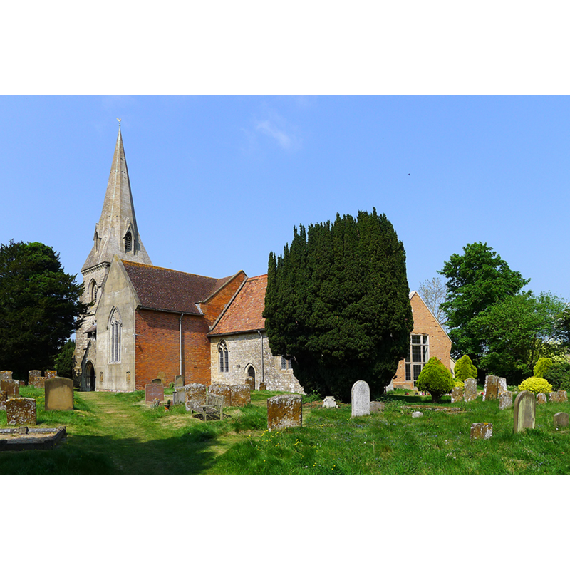
Image copyright © Cameraman, 2011
CC-BY-SA-2.0
Results: 1 records
view of church exterior - southeast view
Copyright Statement: Image copyright © Cameraman, 2011
Image Source: digital photograph taken 28 April 2011 by Cameraman [www.geograph.org.uk/photo/2432471] [accessed 22 January 2016]
Copyright Instructions: CC-BY-SA-2.0
INFORMATION
Font ID: 17302CLA
Object Type: Baptismal Font1
Font Century and Period/Style: 15th century, Perpendicular
Church / Chapel Name: Parish Church of St. Michael
Font Location in Church: Inside the church
Church Patron Saint(s): St. Michael
Church Address: Steeple Claydon, Buckinghamshire MK18 2QF
Site Location: Buckinghamshire, South East, England, United Kingdom
Directions to Site: Located 9 km W of Winslow. 10 km S of Buckingham
Ecclesiastic Region: Diocese of Oxford
Historical Region: Hundred of Mow [in Domesday] -- Hundred of Buckingham
Additional Comments: disappeared font? (the one from the 12thC (?) church here)
Font Notes:
Click to view
There is an entry for [Steeple] Claydon [variant spelling] in te Domesday survey [http://opendomesday.org/place/SP6926/steeple-claydon/] [accessed 22 January 2016], but it mentions neither cleric nor church in it. Sheahan (1862) reports the church is "an ancient structure" and the font "plain and octagonal in shape". The Victoria County History Buckingham (vol. 4, 1927) notes: "Steeple Claydon Church was granted to Oseney Abbey by Robert Deyley in 1129. [...] The chancel dates from about 1380, but the nave has no detail earlier than the 15th century [...] The octagonal font dates from the 15th century and has a 17th-century carved oak cover." [NB: we have no information on the font of the 12th-century church here].
COORDINATES
UTM: 30U 639196 5755673
Latitude & Longitude (Decimal): 51.934347, -0.975257
Latitude & Longitude (DMS): 51° 56′ 3.65″ N, 0° 58′ 30.92″ W
MEDIUM AND MEASUREMENTS
Material: stone
Font Shape: octagonal, mounted
Basin Interior Shape: round
Basin Exterior Shape: octagonal
LID INFORMATION
Date: 17th century?
Material: wood, oak?
Notes: [cf. FontNotes]
REFERENCES
- Victoria County History [online], University of London, 1993-. URL: https://www.british-history.ac.uk.
- Sheahan, James Joseph, History and topography of Buckinghamshire, comprising a general survey of the county, preceded by an epitome of the early history of Great Britain, London; Pontefract: Longman, Green, Longman, and Roberts; William Edward Bonas [...], 1862, p. 273