Cambridge No. 14 / Grentebrige
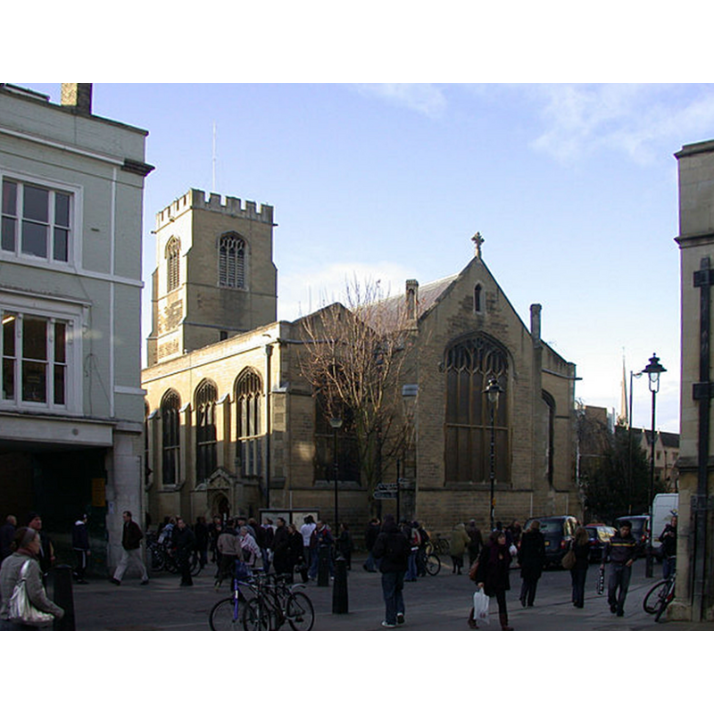
Image copyright © Keith Edkins, 2007
CC-BY-SA-2.0
Results: 1 records
view of church exterior - southeast view
Copyright Statement: Image copyright © Keith Edkins, 2007
Image Source: digital photograph taken 3 December 2007 by Keith Edkins [www.geograph.org.uk/photo/626188] [accessed 29 March 2016]
Copyright Instructions: CC-BY-SA-2.0
INFORMATION
Font ID: 17250CAM
Object Type: Baptismal Font1?
Font Century and Period/Style: 11th - 13th century, Medieval
Church / Chapel Name: Parish Church of St. Andrew the Great [aka St. Andrew without Barnwell Gate]
Church Patron Saint(s): St. Andrew
Church Address: St Andrews Street, Cambridge CB2 3AR
Site Location: Cambridgeshire, East, England, United Kingdom
Directions to Site: Located on the W side of St. Andrew's Street, opposite Christ's College, outside the Barnwell Gate
Ecclesiastic Region: Diocese of Ely
Historical Region: Hundred of Cambridge
Additional Comments: disappeared font? / destroyed font?
Font Notes:
Click to view
There are five entries for Cambridge [variant spelling] in the Domesday survey [http://opendomesday.org/place/TL4458/cambridge/] [accessed 29 March 2016], none of which mentions cleric or church in it. The RCHM (Cambridge, 1959) reports an octagonal font with quatrefoils on four of the sides of the basin and buttresses on the stem; the font is dated mid-19th century; the RCHM (ibid.) notes that the "former hurch was totally destroyed in 1842" and the present church built by subscription and consecrated in 1843. The Victoria County History (Cambridge..., vol. 3, 1959) notes: "ST. ANDREW THE GREAT, outside the Barnwell Gate, was presented to Ely by Absolom, son of Algar, the rector and patron between 1225 and 1228. As, however, the Ely registers refer to a John who was chaplain here in 1200, this was perhaps a restitution. It is even possible that St. Andrew was the church that lay in the fourth Domesday ward of the Borough, for that church belonged to Ely. [...] The church was in a ruinous state, and it was proposed to unite the living with that of Holy Trinity. [...] The church was restored shortly afterwards [...] It was completely destroyed in 1842 when the present church was built by subscription"; no font mentioned in the VCH entry. [NB: we have no information on the medieval font]
COORDINATES
UTM: 31U 303316 5787756
Latitude & Longitude (Decimal): 52.205099, 0.121521
Latitude & Longitude (DMS): 52° 12′ 18.35″ N, 0° 7′ 17.48″ E
REFERENCES
- Victoria County History [online], University of London, 1993-. URL: https://www.british-history.ac.uk.
- Great Britain. Royal Commission on Historical Monuments (England), An Inventory of the Historical Monuments in the city of Cambridge, London: H.M. Stationary Office, 1959, vol. 2: 260, 261