Herriard / Henert / Hereyard / Herrerd

Image copyright © Basher Eyre, 2015
CC-BY-SA-2.0
Results: 2 records
view of font
Scene Description: the modern font, donated by Mrs. Jervoise [F.J.E. Jervoise, Esq. is given as the restorer of the church in 1876-1877]
Copyright Statement: Image copyright © Basher Eyre, 2015
Image Source: digital photograph taken 25 November 2015 by Basher Eyre [www.geograph.org.uk/photo/4750835] [accessed 11 July 2018]
Copyright Instructions: CC-BY-SA-2.0
view of church exterior - west view
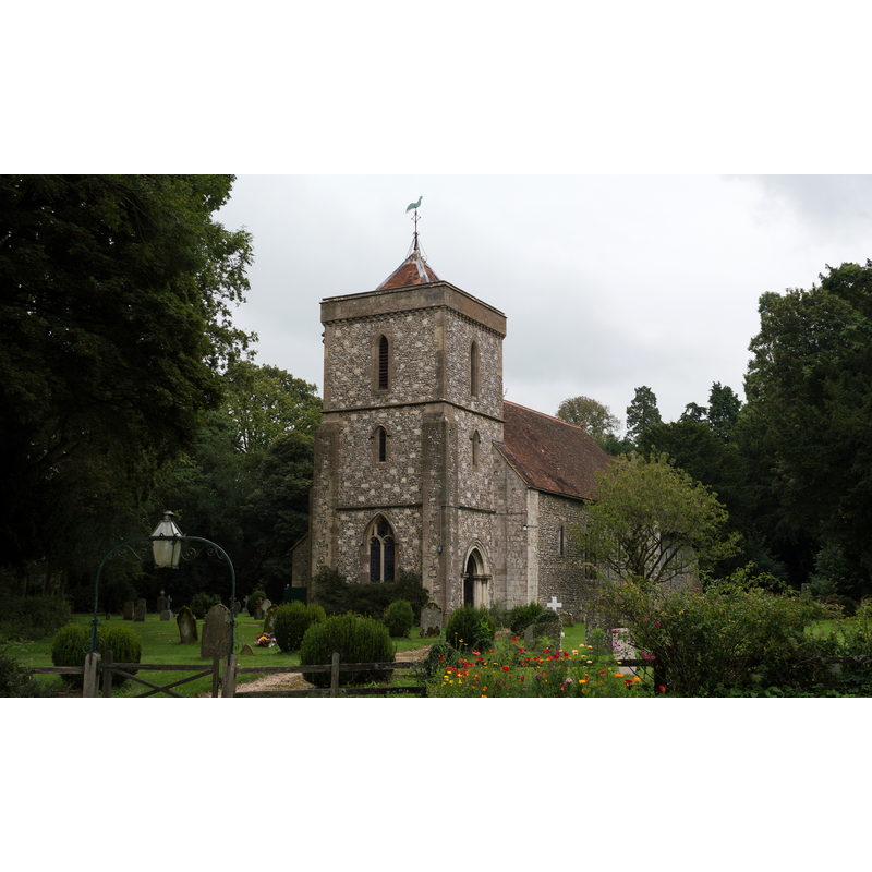
Copyright Statement: Image copyright © Lewis Hulbert, 2014
Image Source: digital photograph taken 27 August 2014 by Lewis Hulbert [https://commons.wikimedia.org/wiki/File:Church_of_St._Mary,_Herriard.jpg] [accessed 11 July 2018]
Copyright Instructions: CC-BY-SA-2.0
INFORMATION
Font ID: 17203HER
Object Type: Baptismal Font1?
Font Date: ca. 1200?
Font Century and Period/Style: 12th - 13th century, Medieval
Church / Chapel Name: Parish Church of St. Mary
Church Patron Saint(s): St. Mary the Virgin
Church Address: Herriard, Basingstoke RG25 2PL, UK
Site Location: Hampshire, South East, England, United Kingdom
Directions to Site: Located off (E) the A339, 7-8 km SSE of Basingstoke
Ecclesiastic Region: Diocese of Winchester
Historical Region: Hundred of Bermondspit
Additional Comments: disappeared font? (the one from the ca.1200 church here)
Font Notes:
Click to view
There is an entry for Herriard [variant spelling] in the Domesday survey [http://opendomesday.org/place/SU6646/herriard/] [accessed 11 July 2018] but it mentions neither priest nor church in it. White (1878) reports that the church is an Early English structure but was largely restored in 1876-1877, the font being from this latter period, "the gift of the late Mrs. Jervoise" [F.J.E. Jervoise, Esq. is given as the restorer of the church]. The Victoria County History (Hampshire, vol. 3, 1908) notes: "The church of Our Lady is a very valuable example, built about the year 1200, of excellent style and detail, preserving, in spite of decay and repair, much of its original character [...] The font, of serpentine, is at the west end of the nave, and is modern, as are all the other fittings of the church." [NB: we have no information on the medieval font]
COORDINATES
UTM: 30U 636074 5674904
Latitude & Longitude (Decimal): 51.209299, -1.051925
Latitude & Longitude (DMS): 51° 12′ 33.47″ N, 1° 3′ 6.93″ W
REFERENCES
- Victoria County History [online], University of London, 1993-. URL: https://www.british-history.ac.uk.
- White, William, History, gazetteer and directory of the County of Hampshire including the Isle of Wight, and [...], Sheffield: William White, 1878, p. 284