Loupian No. 3
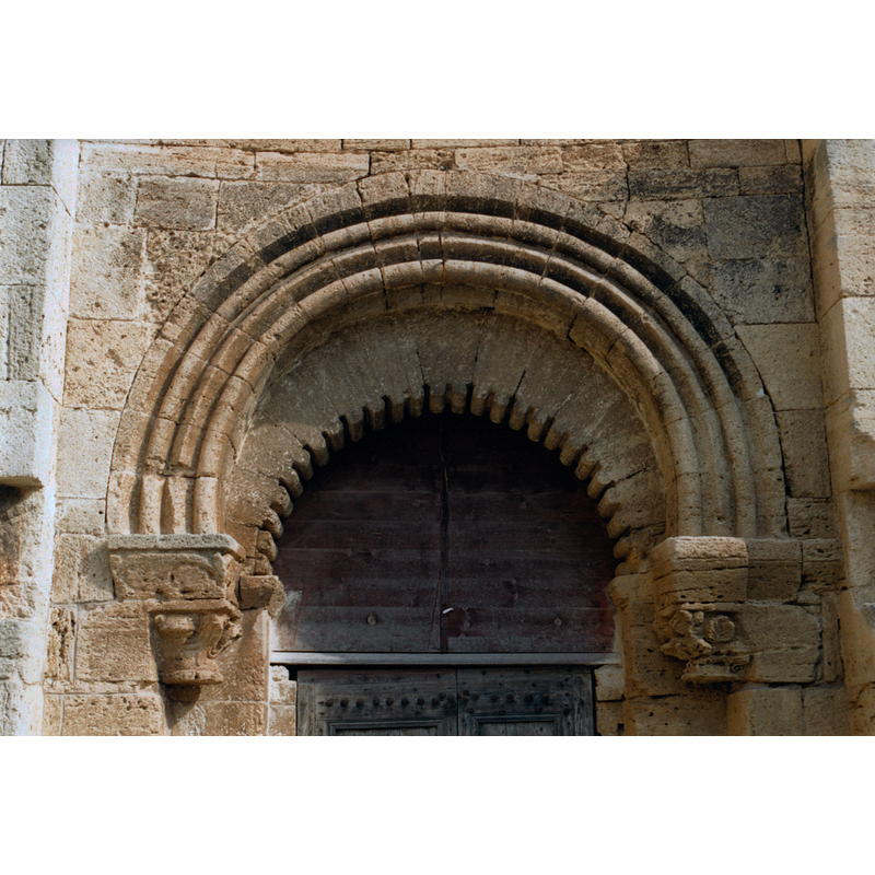
Image copyright © EmDee, 2001
CC-BY-SA-2.0
Results: 3 records
view of church exterior - portal - detail
Copyright Statement: Image copyright © EmDee, 2001
Image Source: digital photograph taken in 2001 by EmDee [https://commons.wikimedia.org/wiki/File:Loupian_-_St_Hippolyte_-_arc.jpg] [accessed 14 February 2020]
Copyright Instructions: CC-BY-SA-2.0
view of church exterior - portal
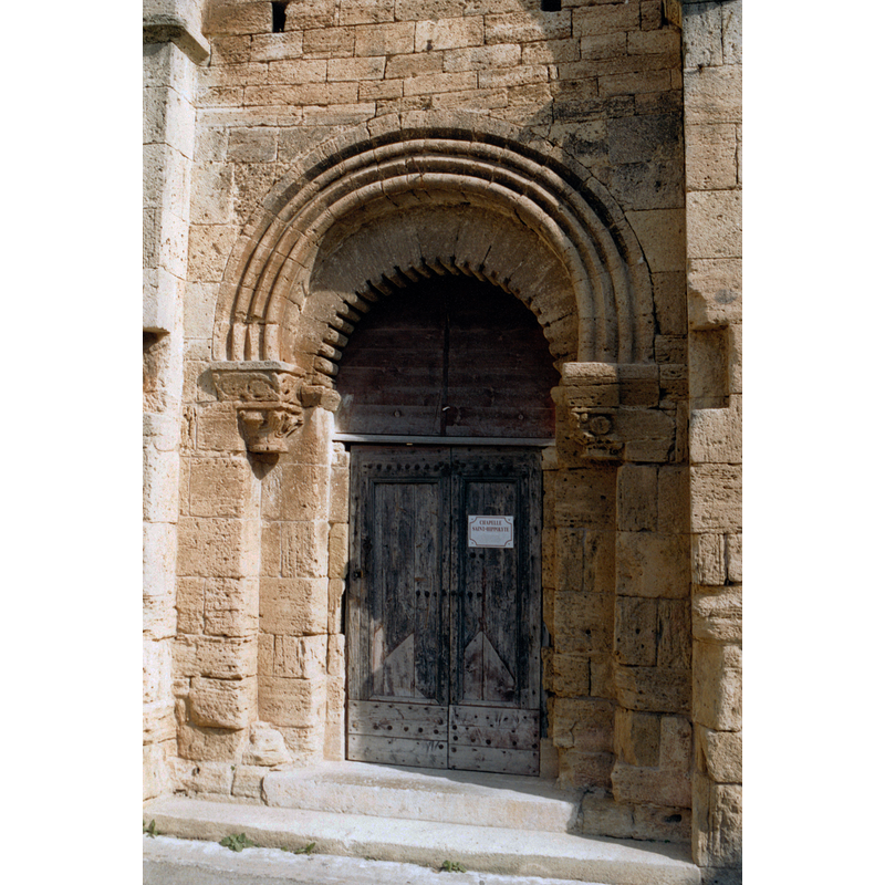
Copyright Statement: Image copyright © EmDee, 2002
Image Source: digital photograph taken in 2002 by EmDee [https://commons.wikimedia.org/wiki/File:Loupian_-_St_Hippolyte_-_Portail.jpg] [accessed 14 February 2020]
Copyright Instructions: CC-BY-SA-2.0
view of church exterior
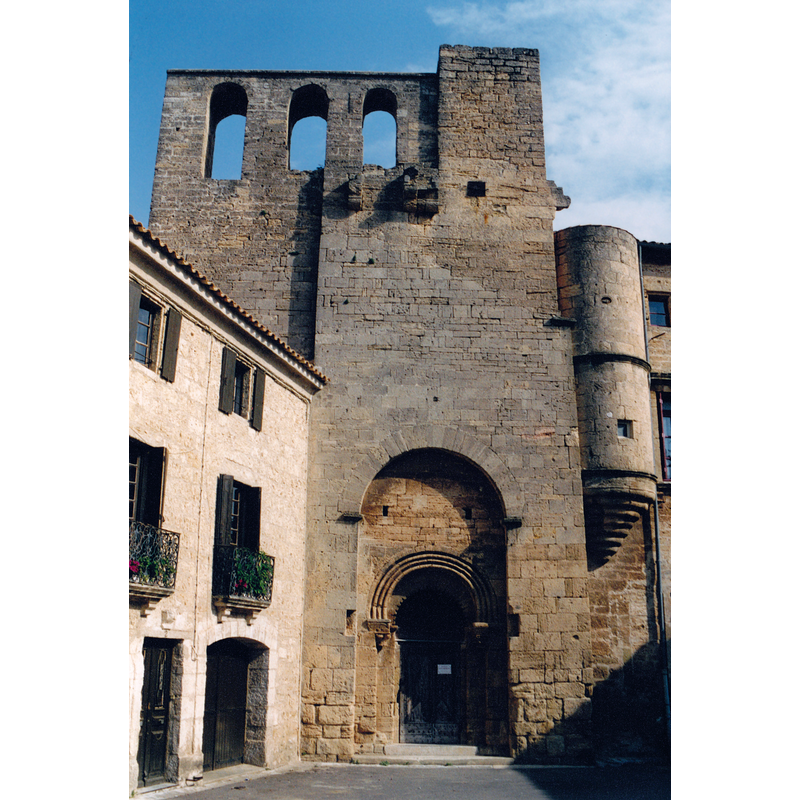
Copyright Statement: Image copyright © EmDee, 2002
Image Source: digital photograph taken in 2002 by EmDee [https://commons.wikimedia.org/wiki/File:Loupian_-_St_Hippolyte.jpg] [accessed 14 February 2020]
Copyright Instructions: CC-BY-SA-2.0
INFORMATION
Font ID: 17127LOU
Object Type: Baptismal Font1?
Font Century and Period/Style: 12th century, Romanesque
Church / Chapel Name: Chapelle Saint-Hippolyte (ou église castrale Saint-Hippolyte
Church Patron Saint(s): St. Hippolytus of Rome
Church Notes: 12thC chapel fortified in the 14thC -- listed in Mérimée [ref.: PA00103492]
Church Address: 5 rue Anatole France, 34140 Loupian, France
Site Location: Hérault, Occitanie, France, Europe
Directions to Site: Located off the D158, S of the A9, 3 km NE of Mèze
Ecclesiastic Region: Diocèse de Montpellier
Historical Region: Languedoc-Roussillon
Additional Comments: disappeared font? (the one from the 12thC church here)
Font Notes:
Click to view
[NB: we have no information on the font of the 12th-century church here]
COORDINATES
UTM: 31T 549722 4810888
Latitude & Longitude (Decimal): 43.449248, 3.614513
Latitude & Longitude (DMS): 43° 26′ 57.29″ N, 3° 36′ 52.25″ E
MEDIUM AND MEASUREMENTS
Font Shape: square, mounted
Basin Interior Shape: square
Basin Exterior Shape: square