Upholland / Hoiland / Holand / Holande / Hollande / Up Holland / Upholond
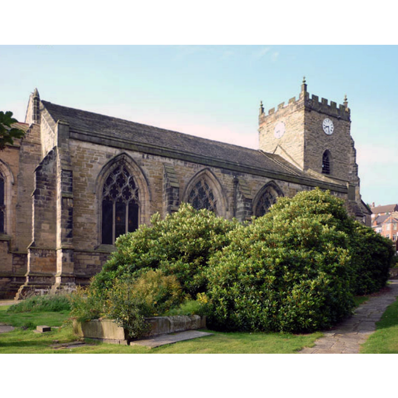
Image copyright © Karl and Ali, 2010
CC-BY-SA-3.0
Results: 1 records
view of church exterior - northeast view
Copyright Statement: Image copyright © Karl and Ali, 2010
Image Source: digital photograph taken 5 September 2010 by Karl and Ali [www.geograph.org.uk/photo/2056849] [accessed 16 July 2014]
Copyright Instructions: CC-BY-SA-3.0
INFORMATION
Font ID: 16931UPH
Object Type: Baptismal Font1?
Font Century and Period/Style: Medieval
Church / Chapel Name: Parish Church of St. Thomas the Martyr [former chapel]
Font Location in Church: [cf. FontNotes]
Church Patron Saint(s): St. Thomas of Canterbury [aka Thomas a Becket]
Church Notes: details of location, etc., correspond to the present church of St. Thomas the Martyr, which is the converted chancel of the old priory church here, to which a west tower was added in the late-15thC
Church Address: Church St, Up Holland, Skelmersdale WN8 0ND, United Kingdom -- Tel.: +44 1695 622895
Site Location: Lancashire, North West, England, United Kingdom
Directions to Site: Located 5 km E of Skelmersdale, 8 km W of Wigan
Ecclesiastic Region: Diocese of Liverpool
Historical Region: Hundred of West Derby
Additional Comments: disappeared font? (the one from the original chapel ca. 1246)
Font Notes:
Click to view
There is an entry for Up Holland [variant spelling] in the Domesday survey [http://domesdaymap.co.uk/place/SD5205/upholland/] [accessed 16 July 2014], but it mentions neither church nor cleric in it. In his entry on Up Holland, Butterworth (1841) notes: "the church of the Priory is now Up Holland chapel. The parish church, a stately pile, existed before 1246, rebuilt in 16th century, dedicated to All Saints". The Victoria County History (Lancaster, vol. 3, 1911) notes: "The earliest record of a church of any kind is that concerning Sir Robert de Holland's endowment of his chapel in 1307. [...] This was succeeded by the priory church, which, after the destruction of the monastery, was preserved for the use of the people, as a chapel of ease to Wigan. [...] It appears to have been well fitted, but the church goods were seized by the Crown, as part of the priory, [...] and in 1552 it was but poorly furnished. [...] It may be assumed that the original chapel founded here in 1307 was a small building, and that it stood for some years after the foundation of the priory twelve years later. There is no record, indeed, of the erection of a church by the convent, but probably a larger and more important building would be thought necessary, and the present structure begun towards the middle of the first half of the 14th century. [...] The fittings are mostly modern, the pulpit and font, both of wood, dating from 1882." The present parish church, St. Thomas', on School Lane, was previously the church of the Benedictine Priory of St. Thomas the Martyr. It has a modern font. [NB: we have no information on the whereabouts of the medieval font].
COORDINATES
UTM: 30U 518482 5932436
Latitude & Longitude (Decimal): 53.5405, -2.7211
Latitude & Longitude (DMS): 53° 32′ 25.8″ N, 2° 43′ 15.96″ W
REFERENCES
- Victoria County History [online], University of London, 1993-. URL: https://www.british-history.ac.uk.
- Victoria County History [online], University of London, 1993-. URL: https://www.british-history.ac.uk.