Hale in Halton nr. Liverpool / Hales
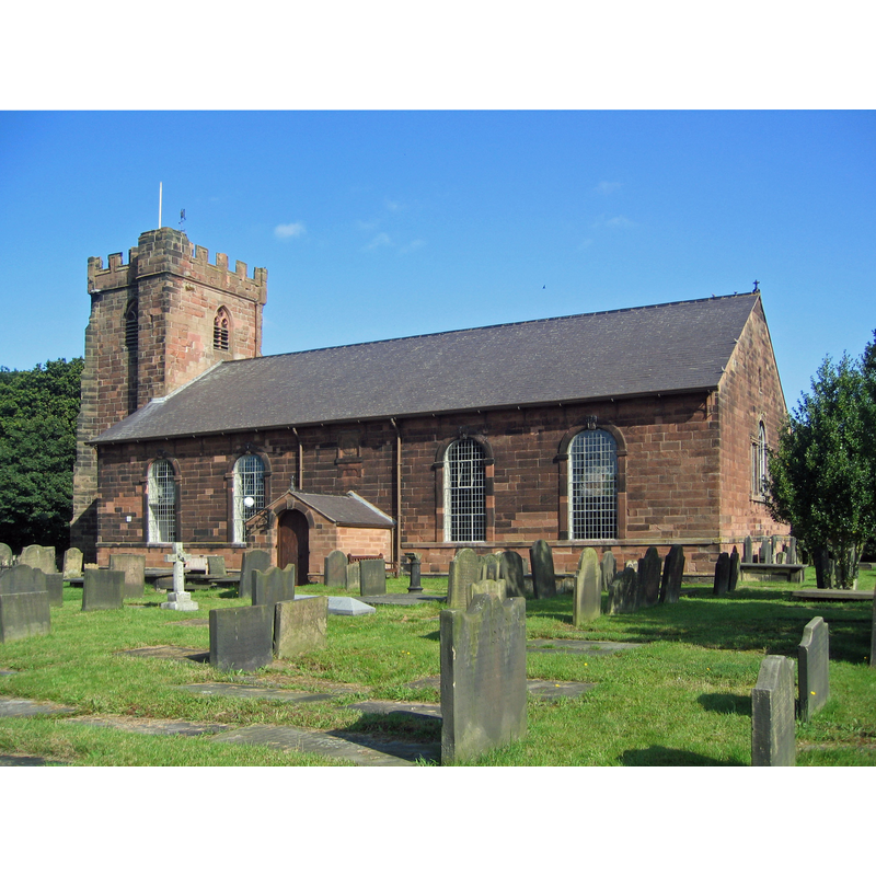
Image copyright © [in the public domain]
Released by its author into the public domain
Results: 2 records
view of church exterior - southeast view
Copyright Statement: Image copyright © [in the public domain]
Image Source: digital photograph taken 7 August 2009 by Peter I. Vardy [http://en.wikipedia.org/wiki/File:Hale_Church_1.jpg] [accessed 25 June 2014]
Copyright Instructions: Released by its author into the public domain
angel - cherub


INFORMATION
Font ID: 16920HAL
Object Type: Baptismal Font1?
Font Century and Period/Style: 13th century, Medieval
Church / Chapel Name: Parish Church of St. Mary
Church Patron Saint(s): St. Mary the Virgin
Church Address: Church Rd, Liverpool, Halton L24 4AX, United Kingdom -- Tel.: +44 151 425 3195
Site Location: Cheshire, North West, England, United Kingdom
Directions to Site: Located SW of Liverpool, just N of the Mersey river
Ecclesiastic Region: Diocese of Liverpool
Historical Region: formerly Lancashire
Additional Comments: disused font / restored font (the 18thC one) -- disappeared / destroyed font? (the medieval one)
Font Notes:
Click to view
No individual entry found for this Hale in the Domesday survey, but it appears in charter rolls of 1066 as one of six 'berewicks' belonging to King Edward's manor of West Derby. The Victoria County History (Lancaster, vol. 3, 1907) notes: "The chapel of St. Mary is of ancient origin. It is mentioned in a suit of 1260 [...] The fourteenth-century tower is standing; but the church, said to have been a 'black and white' timbered building, was replaced in 1754 by the present one, which was in 1874 renovated and refitted [...] In the time of the Commonwealth the commissioners recommended that Hale should be made a parish church, because of the distance from Childwall, and 'because there is not any person hath any seat or burial place within Childwall church.'" Pollard & Pevsner (2006) note: "The font under the tower was returned after a century adorning a garden. The bowl, with cherubs, C18." [NB: the tower of the church dates from the 14th century; the earlier font may have been destroyed in the fire that gutted the church in 1977; Pollard & Pevsner (ibid.) report that the fire "revealed the foundations of a narrower, timber-framed church." We have no information on the medieval font].
COORDINATES
UTM: 30U 513638 5909279
Latitude & Longitude (Decimal): 53.3325, -2.7952
Latitude & Longitude (DMS): 53° 19′ 57″ N, 2° 47′ 42.72″ W
REFERENCES
- Victoria County History [online], University of London, 1993-. URL: https://www.british-history.ac.uk.
- Pollard, Richard, Lancashire: Liverpool and the South-West, New Haven, London: Yale University Press, 2006, p. 189