Burtonwood / Bortounwod / Bourtonewod / Burtonwode / Burtun
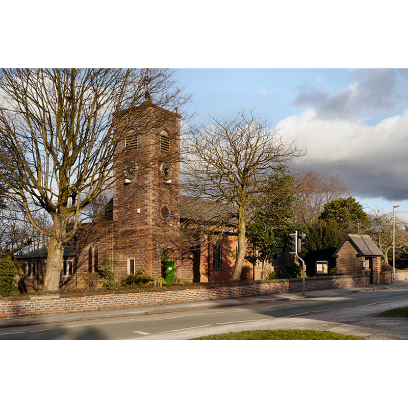
Image copyright © David Dixon, 2013
CC-BY-SA-3.0
Results: 1 records
view of church exterior - southwest view
Scene Description: Photo caption: "The Chapel of Burtonwood was founded in 1605. The present building was erected about 1716. Some of the old oak beams of the old oak beams from the original Chapel were incorporated in the gallery of the Church, but because of decay the gallery was taken down in 1939, when the entire building was restored and enlarged."
Copyright Statement: Image copyright © David Dixon, 2013
Image Source: digital photograph taken 2 February 2013 by David Dixon [www.geograph.org.uk/photo/3320136] [accessed 14 July 2014]
Copyright Instructions: CC-BY-SA-3.0
INFORMATION
Font ID: 16919BUR
Object Type: Baptismal Font1?
Font Date: ca. 1606?
Font Century and Period/Style: 17th century(early?), Restoration
Church / Chapel Name: Parish Church of St. Michael and All Angels
Church Patron Saint(s): St. Michael & All Angels
Church Address: Chapel Lane, Burtonwood, Warrington WA5 4PU
Site Location: Cheshire, North West, England, United Kingdom
Directions to Site: Located off the M62 (junction 8), between St. Helens and Warrington [Coordinates: 53° 25′ 48.55″ N, 2° 39′ 40.88″ W 53.430153, -2.661355]
Ecclesiastic Region: Diocese of Liverpool
Historical Region: formerly Lancashire
Additional Comments: disappeared font?
Font Notes:
Click to view
We found no entry for Burtonwood in the Domesday survey. The Victoria County History (Lancaster, vol. 3, 1907) notes: "The chapel of Burtonwood was erected in 1605–6 [...] in 1650 it was described as inconveniently situated for the use of the township [...] The present church of St. Michael is a plain building of brick. The register dates from 1668. The benefice is a vicarage, in the gift of the rector of Warrington." A chapel near Bradley Hall is reported by 1485, and Pollard & Pevsner (2006) note that the church of St. Michael was "founded in 1606, rebuilt in 1716 and again in 1939", but do not mention a font. The existence of a register by 1668 may indicate the sacramental use of this chapel. [NB: we have no information on the early font of this church].
COORDINATES
UTM: 30U 522845 5920181
Latitude & Longitude (Decimal): 53.430181, -2.656163
Latitude & Longitude (DMS): 53° 25′ 48.65″ N, 2° 39′ 22.19″ W
REFERENCES
- Victoria County History [online], University of London, 1993-. URL: https://www.british-history.ac.uk.