Shelley nr. Chipping Ongar
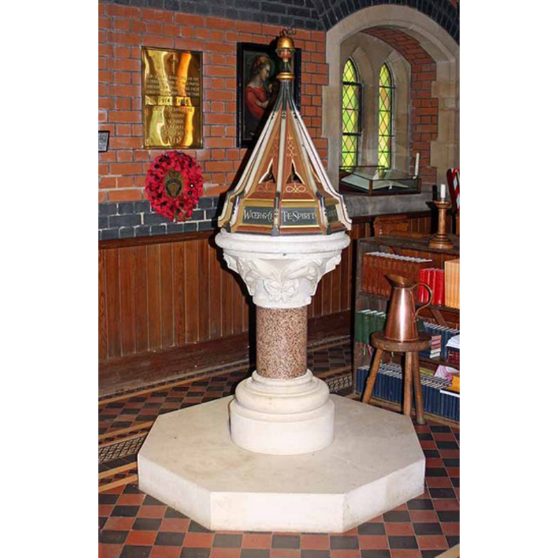
Image copyright © John Salmon, 2008
CC-BY-SA-3.0
Results: 4 records
view of font and cover
Scene Description: the modern font
Copyright Statement: Image copyright © John Salmon, 2008
Image Source: digital photograph taken 13 September 2008 by John Salmon [www.geograph.org.uk/photo/963504] [accessed 28 March 2012]
Copyright Instructions: CC-BY-SA-3.0
view of church exterior - northeast view
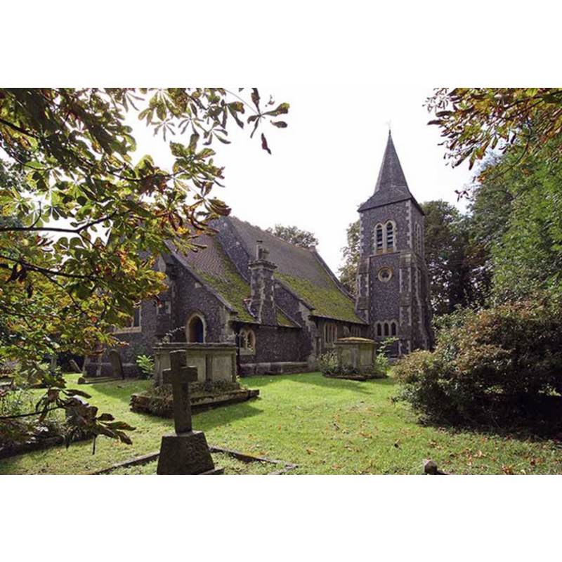
Scene Description: the new church
Copyright Statement: Image copyright © John Salmon, 2008
Image Source: digital photograph taken 13 September 2008 by John Salmon [www.geograph.org.uk/photo/963490] [accessed 28 March 2012]
Copyright Instructions: CC-BY-SA-3.0
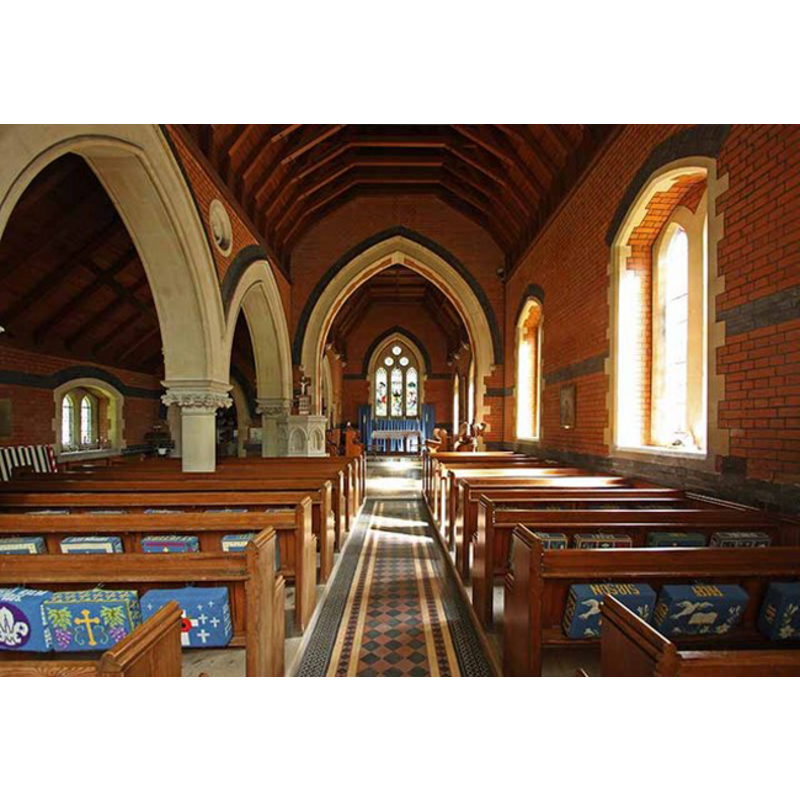
view of church interior - nave - looking west
Scene Description: the new church
Copyright Statement: Image copyright © John Salmon, 2008
Image Source: digital photograph taken 13 September 2008 by John Salmon [www.geograph.org.uk/photo/963504] [accessed 28 March 2012]
Copyright Instructions: CC-BY-SA-3.0
view of church interior - nave - looking east
Scene Description: the new church
Copyright Statement: Image copyright © John Salmon, 2008
Image Source: digital photograph taken 13 September 2008 by John Salmon [www.geograph.org.uk/photo/963500] [accessed 28 March 2012]
Copyright Instructions: CC-BY-SA-3.0
INFORMATION
Font ID: 16878SHE
Object Type: Baptismal Font1?
Font Century and Period/Style: 13th century, Medieval
Church / Chapel Name: Old Parish Church of St. Peter [demolished]
Church Patron Saint(s): St. Peter
Church Address: [the new church: Church Lane, off Fyfield Road, Shelley, Ongar, Essex, CM5 0HH]
Site Location: Essex, East, England, United Kingdom
Directions to Site: Located on the B0184, just N of Chipping Ongar
Ecclesiastic Region: Diocese of Chelmsford
Historical Region: Hundred of Ongar
Additional Comments: disappeared font? (from the medieval church)
Font Notes:
Click to view
The Victoria County History (Essex, vol. 4, 1956) notes: "The medieval parish church of St. Peter became ruinous towards the end of the 18th century and was considered unsafe for use after June 1800. [...] In 1811 a new church was built on the same foundations". The VCH entry informs that no furnishings from the demolished medieval church remain; the present church is the second one of the 19th-century, but the original medieval church is document to ca. 1250, and probably existed much earlier. [NB: we have no information on the medieval font].
COORDINATES
UTM: 31U 309968 5733802
REFERENCES
- Victoria County History [online], University of London, 1993-. URL: https://www.british-history.ac.uk.