Cobham / Coham / Coveham / Covenham
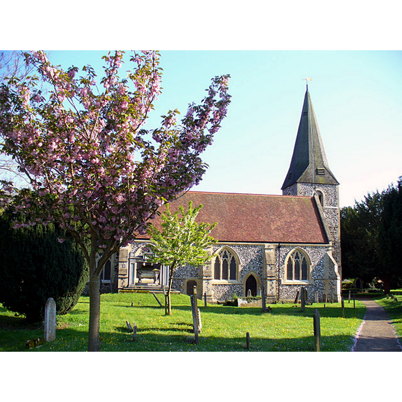
Image copyright © Colin Smith, 2008
CC-BY-SA-2.0
Results: 2 records
view of church exterior - north view
Copyright Statement: Image copyright © Colin Smith, 2008
Image Source: digital photograph taken 6 May 2008 by Colin Smith [www.geograph.org.uk/photo/790984] [accessed 21 December 2015]
Copyright Instructions: CC-BY-SA-2.0
view of font in context

Copyright Statement: Image copyright © Cobham Parish, 2010
Image Source: drawing in the Parish web site [http://ccgi.ndrobinson.plus.com/tour.php] [accessed 15 September 2010]
Copyright Instructions: PERMISSION NOT AVAILABLE -- IMAGE NOT FOR PUBLIC VIEW
INFORMATION
Font ID: 16873COB
Object Type: Baptismal Font1?
Font Century and Period/Style: 12th century, Late Norman? / Transitional?
Church / Chapel Name: Parish Church of St. Andrew
Church Patron Saint(s): St. Andrew
Church Address: Church Street, Cobham, Surrey, KT11 3EG
Site Location: Surrey, South East, England, United Kingdom
Directions to Site: Located 6 km SE of Weybridge
Ecclesiastic Region: Diocese of Guildford
Historical Region: Hundred of Elmbridge
Additional Comments: disappeared font? (the one from the 12thC church here)
Font Notes:
Click to view
There is an entry for Cobham [variant spelling] in the Domesday survey [http://opendomesday.org/place/TQ1060/cobham/] [accessed 21 December 2015], but it mentions neither cleric nor church in it. Allen (1831) writes: "The font is an octagon basin on a small octagon pillar." The Victoria County History (Surrey, vol. 3, 1911) reports only a modern font, without description, but notes: "Clement III (1187–91) granted leave to the abbey to appropriate the church on endowment of a vicarage. [...] About the middle of the 12th century the church seems to have consisted of chancel, nave, and west tower". The Parish web site notes and illustrates an octagonal font, on an octagonal pedestal base, "in front of the West door"; no date is given for this font. The present font is from the 19th century, of a Perpendicular design, decorated with mouldings, quatrefoils, ogee motifs, etc. It is located beneath the Norman tower. [NB: we have no information on the font of the original church here].
COORDINATES
UTM: 30U 680267 5689217
Latitude & Longitude (Decimal): 51.325638, -0.412635
Latitude & Longitude (DMS): 51° 19′ 32.3″ N, 0° 24′ 45.49″ W
MEDIUM AND MEASUREMENTS
Material: stone
REFERENCES
- Victoria County History [online], University of London, 1993-. URL: https://www.british-history.ac.uk.
- Allen, Thomas, A History of the County of Surrey ; comprising every object of topographical, geological, or historical interest, London: Isaac Taylor Hinton, 1831, vol. 2: 8